

Skip to content
Insider Realty, powered by AXEN Realty
Talk to Zarko

Around Adelanto

Adelanto, beyond the house.

The neighbourhoods, the daily rhythm and the drive to everywhere else — the part of a home search a listing sheet never covers.

See homes near here

This guide covers

  • Seneca Pointe
  • El Mirage / Mojave Heights
  • Adelanto Desert Homes
  • Historic Adelanto / Highway 395 corridor

The desk's real neighbourhood file for Adelanto — not a citywide average.

What is actually here

The desk is building a real map of Adelanto — outdoors, local flavor, the commute and daily errands — rather than printing a generic list.

Outdoors

  • Westside ParkPublic park, in town.
  • Marconi ParkPublic park, about 1.6 km from the city centre, straight line.
  • Richardson ParkPublic park, about 2.3 km from the city centre, straight line.
  • Schmidt ParkPublic park, about 4.7 km from the city centre, straight line.
  • Oro Grande ParkPublic park, about 7.4 km from the city centre, straight line.

  • Sierra ParkPublic park, about 7.5 km from the city centre, straight line.

Wine & Local Flavor

The desk hasn't surveyed wine & local flavor around Adelanto yet — this card fills in as soon as it has, real names only.

Getting Around

  • US 395Highway through the area — the Blue Star Memorial Highway.
  • Southern California Logistics AirportAirport, about 3.7 km from the city centre, straight line.

  • I 15Freeway through the area — the Barstow Freeway / Mojave Freeway.
  • CA 18Highway through the area — the Palmdale Road.
  • I 15 BUSHighway through the area — the Palmdale Road.

Food & Daily Life

The desk hasn't surveyed food & daily life around Adelanto yet — this card fills in as soon as it has, real names only.

Places from OpenStreetMap, September 10. © OpenStreetMap contributors. Distances are straight-line from the city centre, not drive times.

The neighbourhoods

Where Adelanto actually breaks down, in the desk's own words.

Full neighbourhood file →

Seneca Pointe

New-construction neighborhood on the city's east side, the most recently built tract in Adelanto.

El Mirage / Mojave Heights

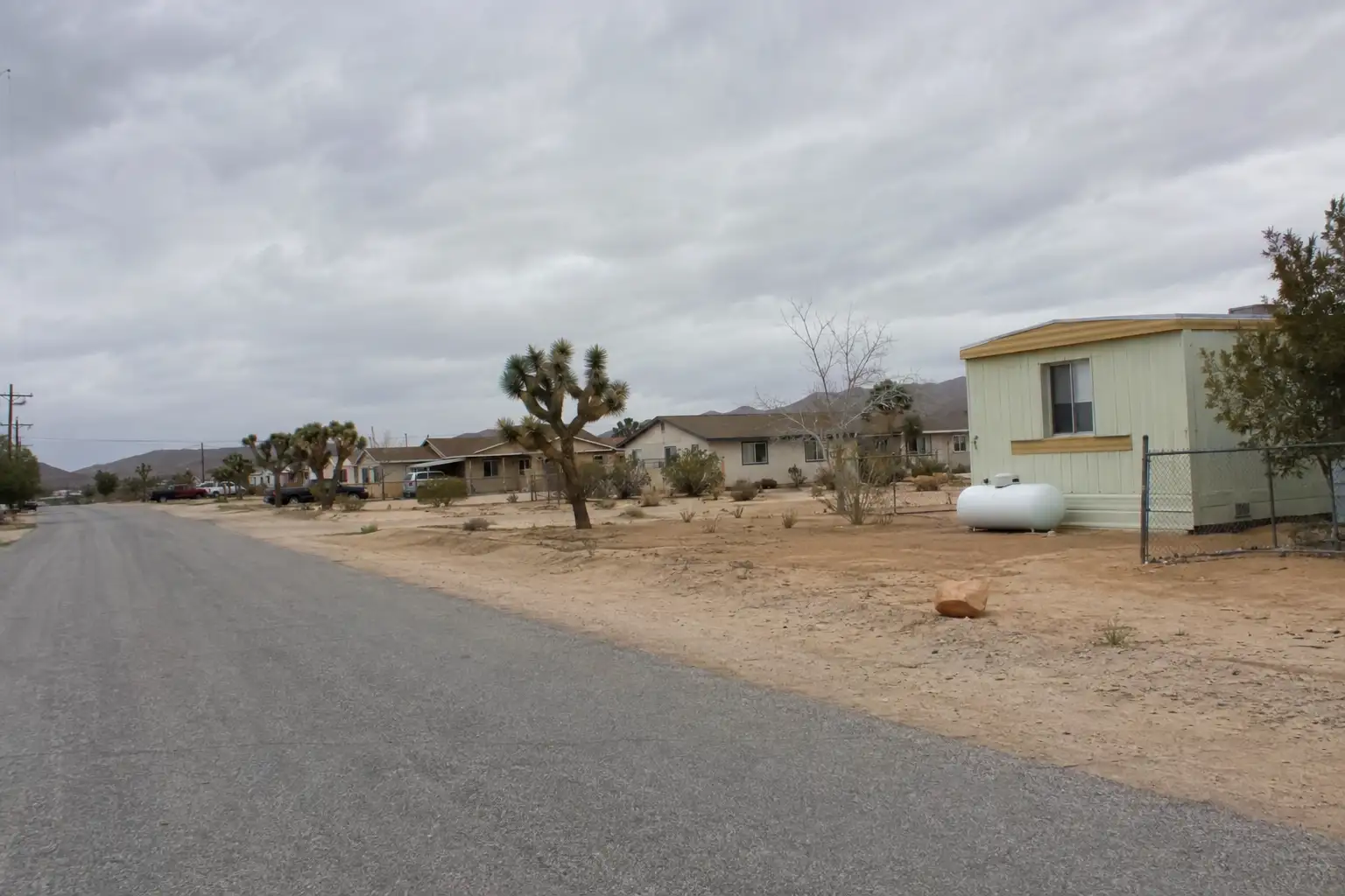
Established area of small-to-medium homes and mobile homes, many built between the 1940s and 1990s.

Adelanto Desert Homes

Residential area of single-family homes on the city's outskirts.

Historic Adelanto / Highway 395 corridor

The original townsite along the 395, with the city's oldest housing stock from its early-20th-century founding through the mid-century.

A day around here

Ordinary life in Adelanto, the way it actually runs — not a highlight reel.

Morning

An early walk at Westside Park, before the day starts properly.

Afternoon

An hour at Marconi Park, between the errands that never show up on a listing sheet.

Evening

Porch lights on, and a short drive back to whichever neighbourhood you call home.

Illustrative scenes, not photographs of the places named. Places from OpenStreetMap, © OpenStreetMap contributors, ODbL.

Homes near here

Real listings live in Adelanto right now — not a wish list.

All Adelanto listings →

Active listings, as of September 22. Photos are illustrative — not photographs of the address on the card.

Ready to see Adelanto for yourself?

Ask the Insider desk what's new, what dropped, and what's worth a look near you.

Private request. No recurring email is sent automatically.



