


Outdoors
- Hillside Promontory ParkPublic park, in town.
- Chumash ParkPublic park, in town.
- Ladyface GreenwayPublic park, in town.
- Forest Cove ParkPublic park, in town.
- Morrison ParkPublic park, in town.
- Sumac ParkPublic park, in town.

Navigation
 Buy
Buy Photo unavailable5403 Meadow Vista-$10,000Listing brokerageColdwell Banker Quality Properties
 Photo unavailable5322 Colodny Drive 9-$28,000Listing brokerageEquity Union
 Sell
Sell Photo unavailable5744 Hempstead DriveSoldListing brokerageHarcourts Plus
 Photo unavailable2052 Shadow Creek DrivePendingListing brokerageThe Beverly Hills Estates
 InvestPhoto unavailable5403 Meadow Vista-$10,000Listing brokerageColdwell Banker Quality PropertiesPhoto unavailable5322 Colodny Drive 9-$28,000Listing brokerageEquity Union
 Inspector’s Eye
 Vault
Vault Learn
Learn AboutTalk to Zarko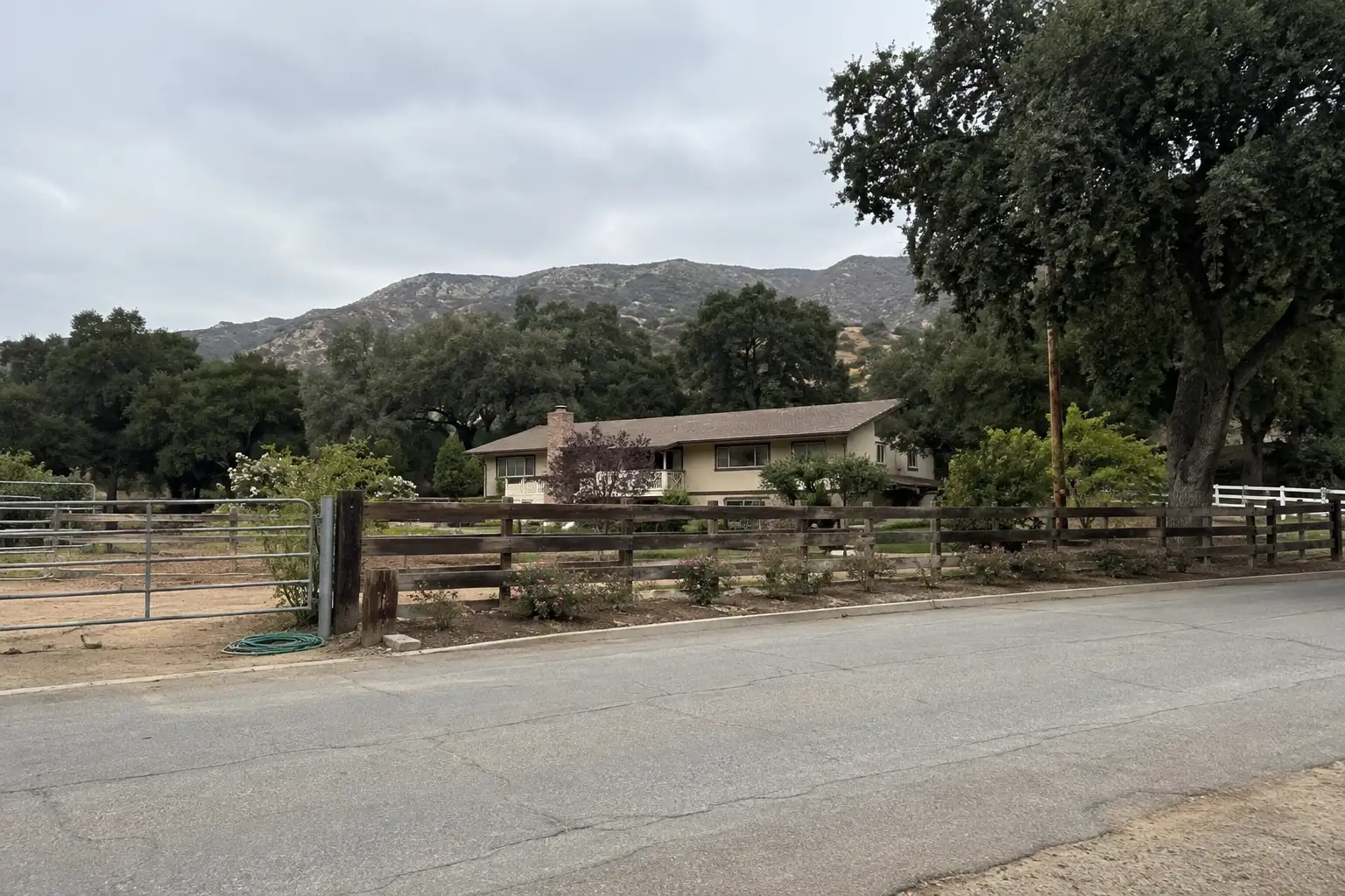
Around Agoura Hills
The neighbourhoods, the daily rhythm and the drive to everywhere else — the part of a home search a listing sheet never covers.
See homes near here →The desk is building a real map of Agoura Hills — outdoors, local flavor, the commute and daily errands — rather than printing a generic list.


Places from OpenStreetMap, September 10. © OpenStreetMap contributors. Distances are straight-line from the city centre, not drive times.
Where Agoura Hills actually breaks down, in the desk's own words.
Full neighbourhood file →A horse-zoned, large-lot equestrian community with direct trail access into the Cheeseboro and Palo Comado Canyons; it keeps the mature-tree, working-ranch character that predates the city's 1980s housing-tract boom.
A hillside neighborhood of larger lots and homes in the hills north of the valley floor, named on Wikipedia's own geography section as a distinct area of western Agoura Hills.
Built around an artificial lake dug by the developer after Lockheed's Kelly Johnson — the Skunk Works vice president who ranched the property as "Lindero Ranch" from the early 1940s — sold it in 1962; the tract's roughly 746 homes went up through the late 1960s and early 1970s.
One of Agoura's original postwar tracts, developed alongside Hillrise and Lake Lindero after the Ventura Freeway went through; its eastern edge is now spanned by the Wallis Annenberg Wildlife Crossing, the vegetated overpass built over U.S.
A 4,000-acre stretch of the Santa Monica Mountains National Recreation Area in the Simi Hills, reached from the Chesebro Road exit off U.S.
Named for the c.
Ordinary life in Agoura Hills, the way it actually runs — not a highlight reel.

An early walk at Hillside Promontory Park, before the day starts properly.

An hour at Chumash Park, between the errands that never show up on a listing sheet.

Dinner at Lal Mirch, then a short drive back to whichever neighbourhood you call home.
Illustrative scenes, not photographs of the places named. Places from OpenStreetMap, © OpenStreetMap contributors, ODbL.
Real listings live in Agoura Hills right now — not a wish list.
All Agoura Hills listings →



Active listings, as of September 22. Photos are illustrative — not photographs of the address on the card.
Ask the Insider desk what's new, what dropped, and what's worth a look near you.