

Skip to content
Insider Realty, powered by AXEN Realty
Talk to ZarkoCall

Around Berkeley

Berkeley, beyond the house.

The neighbourhoods, the daily rhythm and the drive to everywhere else — the part of a home search a listing sheet never covers.

See homes near here

This guide covers

  • West Berkeley
  • Southside
  • Northside

The desk's real neighbourhood file for Berkeley — not a citywide average.

What is actually here

The desk is building a real map of Berkeley — outdoors, local flavor, the commute and daily errands — rather than printing a generic list.

Outdoors

  • Street Piano & Sound GardenPublic garden, about 1.8 km from the city centre, straight line.
  • Marina ParkPublic park, about 3.0 km from the city centre, straight line.
  • North Oakland Recreation CenterPublic park, about 5.2 km from the city centre, straight line.
  • Native Here NurseryPublic garden, about 5.2 km from the city centre, straight line.
  • ChaparralPublic garden, about 5.3 km from the city centre, straight line.
  • Oak KnollPublic garden, about 5.3 km from the city centre, straight line.
Wine & Local Flavor

  • Wine so cruWine shop, in town.
  • Vino!Wine shop, in town.
  • Whistler vineyardWine shop, in town.
  • HammerlingWinery, in town.
  • Donkey and goatWinery, in town.
  • Tessier WineryWinery, in town.

Getting Around

  • BerkeleyRail station, in town.
  • North BerkeleyRail station, about 1.6 km from the city centre, straight line.
  • Downtown BerkeleyRail station, about 2.7 km from the city centre, straight line.
  • EmeryvilleRail station, about 3.0 km from the city centre, straight line.
  • AshbyRail station, about 3.0 km from the city centre, straight line.
  • El Cerrito Plaza BARTBus station, about 4.0 km from the city centre, straight line.

Food & Daily Life

  • Waterside CafeCafe, in town.
  • Thai TableRestaurant, in town.
  • Butterfish SushiRestaurant, in town.
  • UqbarCafe, in town.
  • Mercado 925Restaurant, in town.
  • IyasareRestaurant, in town.

Places from OpenStreetMap, November 3. © OpenStreetMap contributors. Distances are straight-line from the city centre, not drive times.

The neighbourhoods

Where Berkeley actually breaks down, in the desk's own words.

Full neighbourhood file →

West Berkeley

The General Plan calls West Berkeley an area made of a number of subareas, with by far the city's widest range of building and site types.

Southside

The General Plan describes the Telegraph or Southside area as heavily affected by University expansion after 1950, while keeping many remnants of the old college oriented neighborhood.

Northside

The General Plan says the Northside was also heavily changed after 1950 and by the 1923 fire and later rebuilding, but still shows enough fine early buildings and street features to recall its link to Bernard Maybeck, the Hillside Club and the Arts and Crafts movement.

A day around here

Ordinary life in Berkeley, the way it actually runs — not a highlight reel.

Morning

Coffee at Waterside Cafe, then whatever the day actually needs.

Afternoon

An hour at Marina Park, between the errands that never show up on a listing sheet.

Evening

Dinner at Thai Table, then a short drive back to whichever neighbourhood you call home.

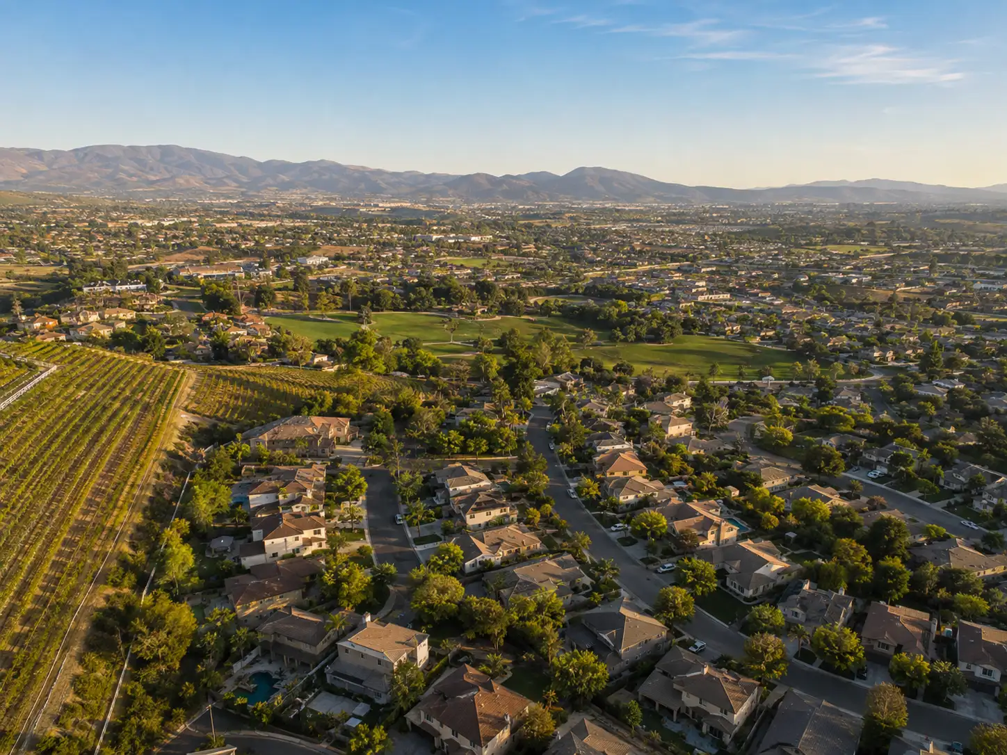
Illustrative scenes, not photographs of the places named. Places from OpenStreetMap, © OpenStreetMap contributors, ODbL.

Homes near here

Real listings live in Berkeley right now — not a wish list.

All Berkeley listings →

Active listings, as of November 8. Photos are illustrative — not photographs of the address on the card.

Ready to see Berkeley for yourself?

Ask the Insider desk what's new, what dropped, and what's worth a look near you.

Private request. No recurring email is sent automatically.