


Outdoors
- Appleby ParkPublic park, in town.
- Todd ParkPublic park, in town.
- Gateway ParkPublic park, in town.
- Sungold ParkPublic park, in town.
- Miller ParkPublic park, in town.
- Quechan ParkPublic park, about 6.0 km from the city centre, straight line.

Navigation
 Buy
Buy Photo unavailable461 N Palm-$10,999Listing brokerageBlackbird Real Estate Group
 Photo unavailable2224 Dekens Court-$6,000Listing brokerageDMA
 Sell
Sell Photo unavailable2274 Riviera DrivePendingListing brokerageOsborne Realty
 Photo unavailable460 SevilleActive Under ContractListing brokerageBlackbird Real Estate Group
 InvestPhoto unavailable461 N Palm-$10,999Listing brokerageBlackbird Real Estate GroupPhoto unavailable2224 Dekens Court-$6,000Listing brokerageDMA
 Inspector’s Eye
 Vault
Vault Learn
Learn AboutTalk to Zarko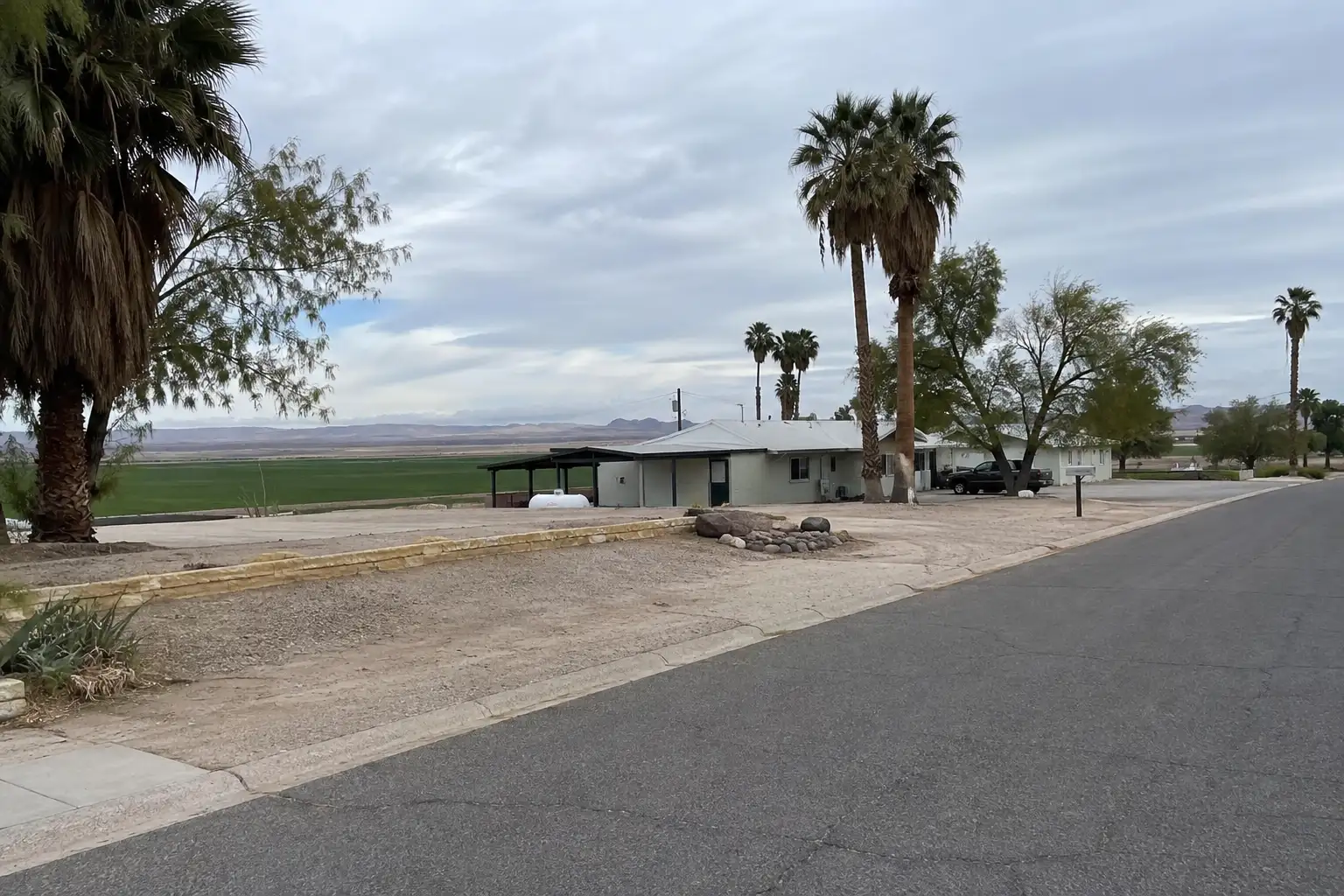
Around Blythe
The neighbourhoods, the daily rhythm and the drive to everywhere else — the part of a home search a listing sheet never covers.
See homes near here →The desk is building a real map of Blythe — outdoors, local flavor, the commute and daily errands — rather than printing a generic list.

The desk hasn't surveyed wine & local flavor around Blythe yet — this card fills in as soon as it has, real names only.


Places from OpenStreetMap, September 10. © OpenStreetMap contributors. Distances are straight-line from the city centre, not drive times.
Where Blythe actually breaks down, in the desk's own words.
Full neighbourhood file →Centered on Hobsonway and Broadway, the city's historic commercial core dates to its original 1910s platting and today houses City Hall, the Black History Museum and Multi-Cultural Society of Blythe, and the offices of the Palo Verde Valley Times.
Parkland along the Colorado River near Peter D.
Home to Alexander Field, the ballpark that hosted the Blythe Heat of the Arizona Winter League and Arizona Summer League until both leagues folded in 2017.
Anchors the city as the home campus of Palo Verde College, part of the California Community College system, which also operates an educational center as far away as Needles.
A 14-acre concession-operated park sits just off Interstate 10 along Riviera Drive, one of the city's main recreational corridors.
South Broadway is lined with state and federal offices, including the CHP and DMV, and the corridor extends out to Ironwood State Prison, one of two state prisons built near Blythe alongside the now-closed Chuckawalla Valley State Prison.
Ordinary life in Blythe, the way it actually runs — not a highlight reel.

An early walk at Appleby Park, before the day starts properly.

An hour at Todd Park, between the errands that never show up on a listing sheet.

Dinner at Garcia Restraurant, then a short drive back to whichever neighbourhood you call home.
Illustrative scenes, not photographs of the places named. Places from OpenStreetMap, © OpenStreetMap contributors, ODbL.
Real listings live in Blythe right now — not a wish list.
All Blythe listings →



Active listings, as of September 22. Photos are illustrative — not photographs of the address on the card.
Ask the Insider desk what's new, what dropped, and what's worth a look near you.