

Skip to content
Insider Realty, powered by AXEN Realty
Talk to Zarko

Around Buena Park

Buena Park, beyond the house.

The neighbourhoods, the daily rhythm and the drive to everywhere else — the part of a home search a listing sheet never covers.

See homes near here

This guide covers

  • Beach Boulevard Entertainment Corridor
  • Los Coyotes Country Club
  • Buena Park Historic District
  • San Tract
  • Western Buena Park
  • Downtown Beach Boulevard

The desk's real neighbourhood file for Buena Park — not a citywide average.

What is actually here

The desk is building a real map of Buena Park — outdoors, local flavor, the commute and daily errands — rather than printing a generic list.

Outdoors

  • Rick Gomez ParkPublic park, in town.
  • Bessie Coleman ParkPublic park, in town.
  • Whitaker ParkPublic park, in town.
  • Bellis ParkPublic park, in town.
  • Boisseranc ParkPublic park, about 1.8 km from the city centre, straight line.
  • Images ParkPublic park, about 1.9 km from the city centre, straight line.

Wine & Local Flavor

  • Twisted VineWine shop, about 6.6 km from the city centre, straight line.

Getting Around

  • Buena ParkRail station, about 1.6 km from the city centre, straight line.

  • Fullerton Municipal AirportAirport, about 1.9 km from the city centre, straight line.

  • Camp Snoopy DepotRail station, about 2.0 km from the city centre, straight line.

  • Calico RailroadRail station, about 2.2 km from the city centre, straight line.

  • CA 91 EXPRFreeway through the area — the Artesia Tollway.
  • I 5Freeway through the area — the Santa Ana Freeway.

Food & Daily Life

  • Ocean SnackRestaurant, in town.
  • MaoRestaurant, in town.
  • TBaarCafe, in town.
  • Yang's Braised Chicken RiceRestaurant, in town.
  • Jinsu Tofu HouseRestaurant, in town.
  • dPot at The SourceRestaurant, in town.

Places from OpenStreetMap, September 10. © OpenStreetMap contributors. Distances are straight-line from the city centre, not drive times.

The neighbourhoods

Where Buena Park actually breaks down, in the desk's own words.

Full neighbourhood file →

Beach Boulevard Entertainment Corridor

An entertainment strip about a mile long anchored by Knott's Berry Farm to the south and The Source OC shopping center to the north; the corridor traces back to Knott's Ghost Town, opened 1952.

Los Coyotes Country Club

Neighborhood around the golf course built on the former adobe headquarters site of the 46,806-acre Rancho Los Coyotes land grant; the area dates to 1957.

Buena Park Historic District

Cluster of relocated 19th-century structures near the Stage Stop Hotel, including the 1886 Whitaker-Jaynes House and the 1884 Bacon House, both moved to the site in 1994.

San Tract

Southeastern Buena Park neighborhood of single-family homes and small apartment complexes largely built in the 1960s and 1970s.

Western Buena Park

Area near the Fullerton border where some properties fall within the Fullerton Joint Union High School District boundary.

Downtown Beach Boulevard

The city's original commercial core near Artesia and Beach Boulevards, the site of the artesian well and park-like grounds that gave the city its name.

A day around here

Ordinary life in Buena Park, the way it actually runs — not a highlight reel.

Morning

Coffee at TBaar, then whatever the day actually needs.

Afternoon

An hour at Rick Gomez Park, between the errands that never show up on a listing sheet.

Evening

Dinner at Ocean Snack, then a short drive back to whichever neighbourhood you call home.

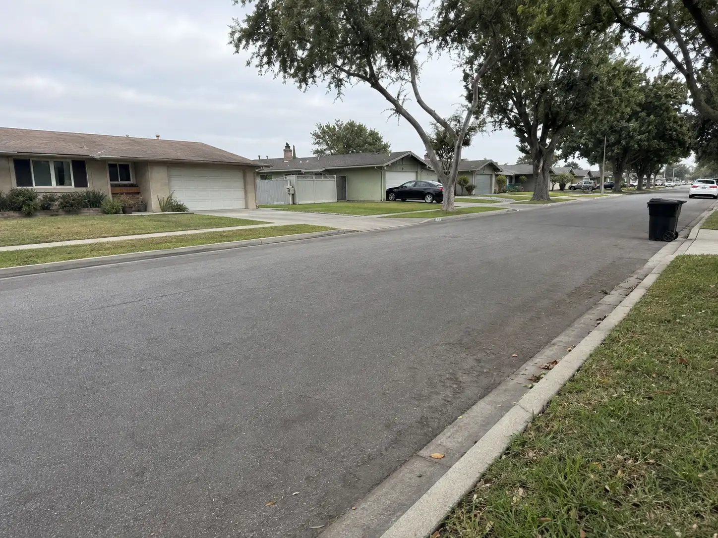
Illustrative scenes, not photographs of the places named. Places from OpenStreetMap, © OpenStreetMap contributors, ODbL.

Homes near here

Real listings live in Buena Park right now — not a wish list.

All Buena Park listings →

Active listings, as of September 22. Photos are illustrative — not photographs of the address on the card.

Ready to see Buena Park for yourself?

Ask the Insider desk what's new, what dropped, and what's worth a look near you.

Private request. No recurring email is sent automatically.


