


Outdoors
- San Diego District Office BuildingPublic park, in town.
- Magee ParkPublic park, in town.
- Pine ParkPublic park, in town.
- Brierly FieldPublic park, in town.
- Maxton Brown ParkPublic park, in town.
- Chase FieldPublic park, in town.

Navigation
 Buy
Buy Photo unavailable3813 El Camino Real-$5,000Listing brokerageListed Simply
 Photo unavailable2335 Caringa Way 18-$29,001Listing brokerageHomePERQs, Inc
 Sell
Sell Photo unavailable7239 San Luis St, 184PendingListing brokerageMonarch Home Sales
 InvestPhoto unavailable3813 El Camino Real-$5,000Listing brokerageListed SimplyPhoto unavailable2335 Caringa Way 18-$29,001Listing brokerageHomePERQs, Inc
 Inspector’s Eye
 Vault
Vault Learn
Learn AboutTalk to Zarko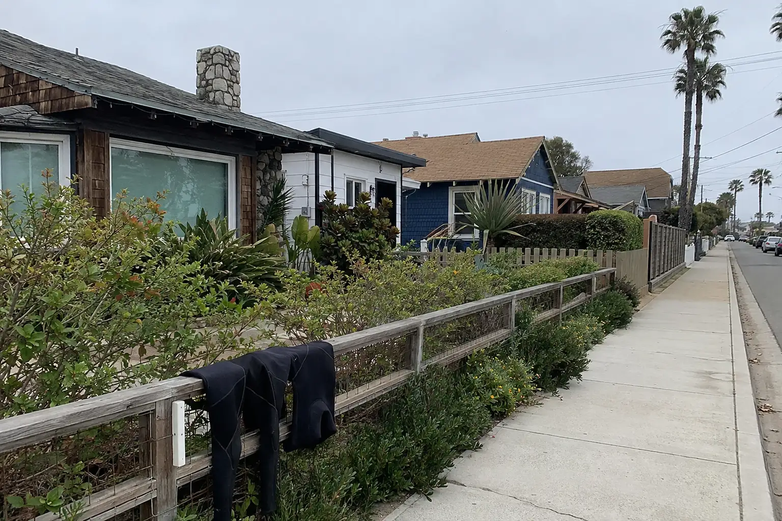
Around Carlsbad
The neighbourhoods, the daily rhythm and the drive to everywhere else — the part of a home search a listing sheet never covers.
See homes near here →The desk is building a real map of Carlsbad — outdoors, local flavor, the commute and daily errands — rather than printing a generic list.


Places from OpenStreetMap, September 10. © OpenStreetMap contributors. Distances are straight-line from the city centre, not drive times.
Where Carlsbad actually breaks down, in the desk's own words.
Full neighbourhood file →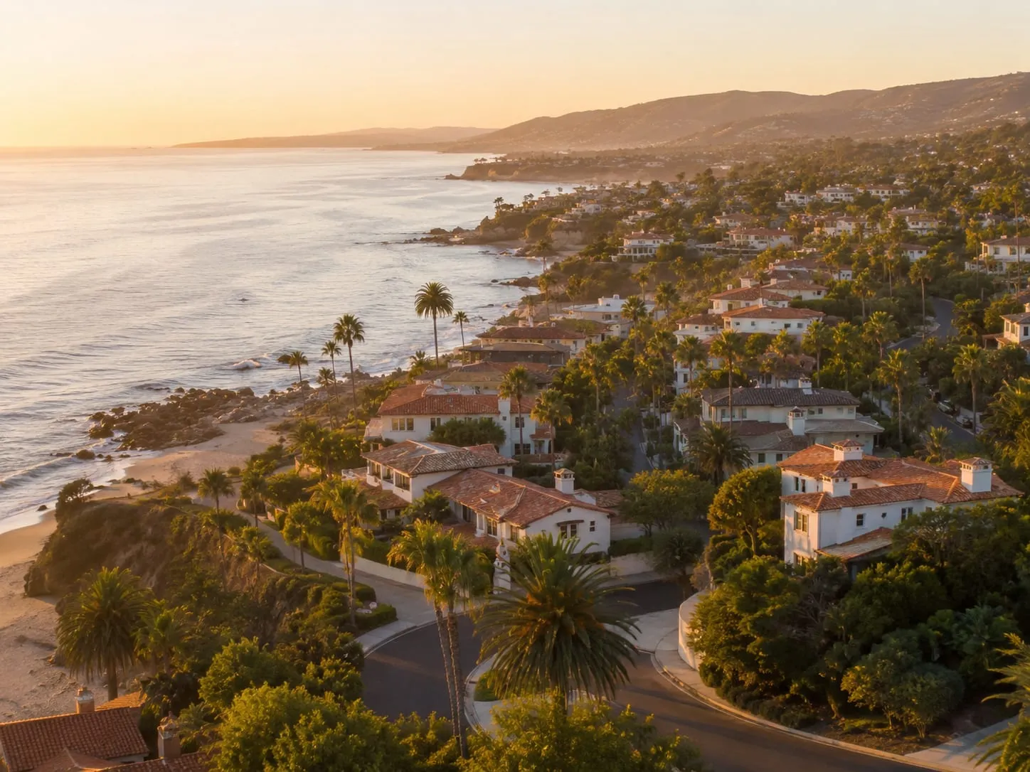
Walkable Village core near the coast with older housing stock.
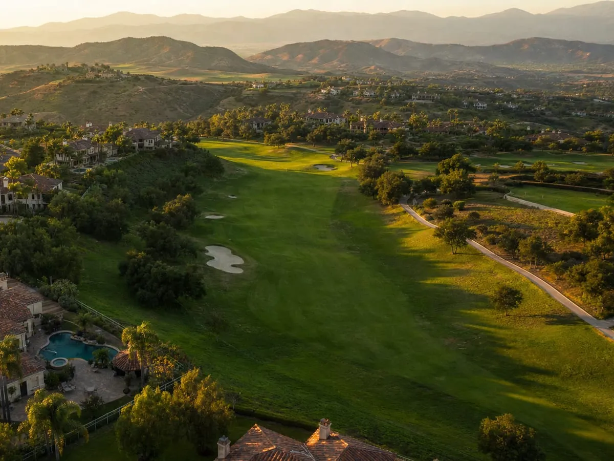
Master-planned southeast hills with golf frontage, Mello-Roos, and steeper lots.
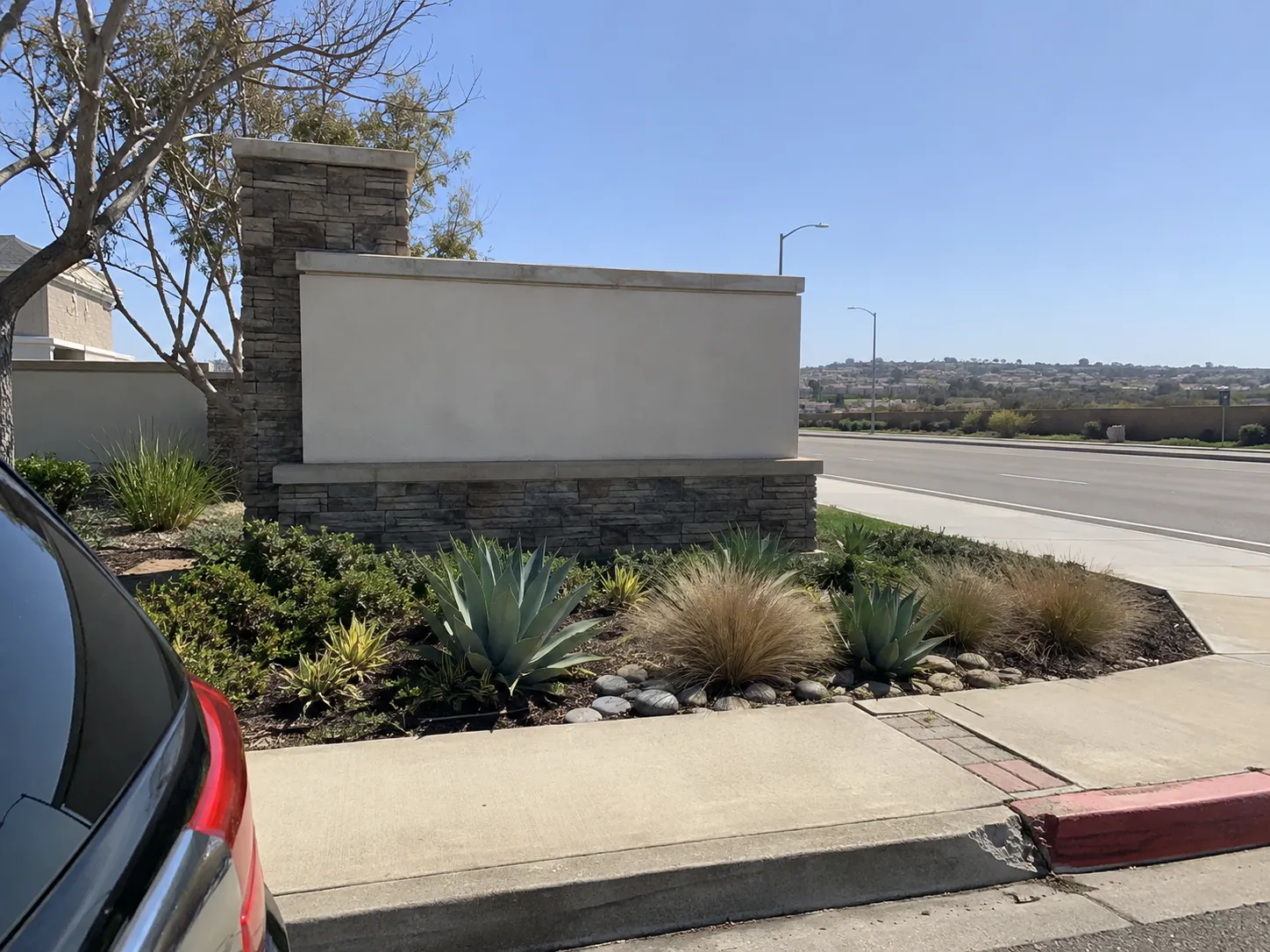
Newer central community, predictable layouts and a strong HOA.
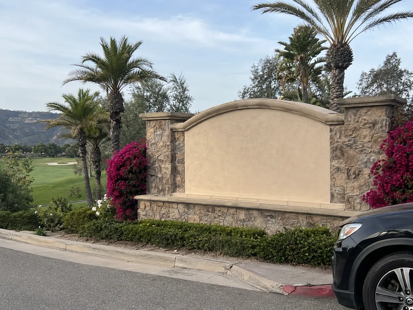
Upscale 1990s-to-2001 master plan around the golf corridor and lagoon.
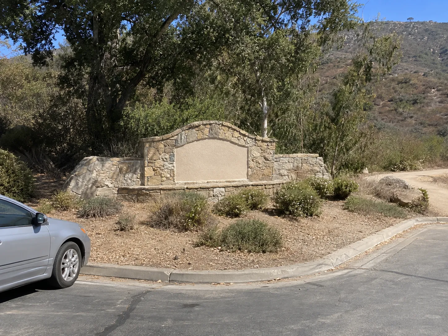
Lake- and canyon-adjacent community built out from the mid-1980s to 2000.
Ordinary life in Carlsbad, the way it actually runs — not a highlight reel.

Coffee at The Daily News Café, then whatever the day actually needs.

An hour at San Diego District Office Building, between the errands that never show up on a listing sheet.

Dinner at Better Buzz, then a short drive back to whichever neighbourhood you call home.
Illustrative scenes, not photographs of the places named. Places from OpenStreetMap, © OpenStreetMap contributors, ODbL.
Real listings live in Carlsbad right now — not a wish list.
All Carlsbad listings →



Active listings, as of September 22. Photos are illustrative — not photographs of the address on the card.
Ask the Insider desk what's new, what dropped, and what's worth a look near you.