

Skip to content
Insider Realty, powered by AXEN Realty
Talk to Zarko

Around Chula Vista

Chula Vista, beyond the house.

The neighbourhoods, the daily rhythm and the drive to everywhere else — the part of a home search a listing sheet never covers.

See homes near here

This guide covers

  • Eastlake
  • Otay Ranch
  • Rancho del Rey
  • Millenia
  • Rolling Hills Ranch
  • San Miguel Ranch
  • West Chula Vista / Montgomery

The desk's real neighbourhood file for Chula Vista — not a citywide average.

What is actually here

The desk is building a real map of Chula Vista — outdoors, local flavor, the commute and daily errands — rather than printing a generic list.

Outdoors

  • Friendship ParkPublic park, in town.
  • Memorial ParkPublic park, in town.
  • Norman ParkPublic park, in town.
  • Eucalyptus ParkPublic park, in town.
  • Bay Boulevard ParkPublic park, in town.
  • Sweetwater ParkPublic park, about 2.0 km from the city centre, straight line.

Wine & Local Flavor

  • San Pasqual WineryWine shop, about 11 km from the city centre, straight line.
  • Quigley Fine WinesWinery, about 11 km from the city centre, straight line.

Getting Around

  • E StreetRail station, in town.
  • H StreetRail station, about 1.5 km from the city centre, straight line.

  • CA 54Freeway through the area — the South Bay Freeway.
  • 24th StreetRail station, about 3.1 km from the city centre, straight line.

  • Palomar StreetRail station, about 4.2 km from the city centre, straight line.

  • US 101 HistHighway through the area — the East Harbor Drive.

Food & Daily Life

  • Garden Farms MarketSupermarket, in town.
  • Famers TableRestaurant, in town.
  • El ComalRestaurant, in town.
  • Lime in the CoconutRestaurant, in town.
  • FuddruckersRestaurant, in town.
  • Don Pedro Taco ShopRestaurant, in town.

Places from OpenStreetMap, September 10. © OpenStreetMap contributors. Distances are straight-line from the city centre, not drive times.

The neighbourhoods

Where Chula Vista actually breaks down, in the desk's own words.

Full neighbourhood file →

Eastlake

Planned community begun in 1986 around an artificial lake; sub-villages include Eastlake Greens, Eastlake Trails, Eastlake Vistas and Eastlake Woods.

Otay Ranch

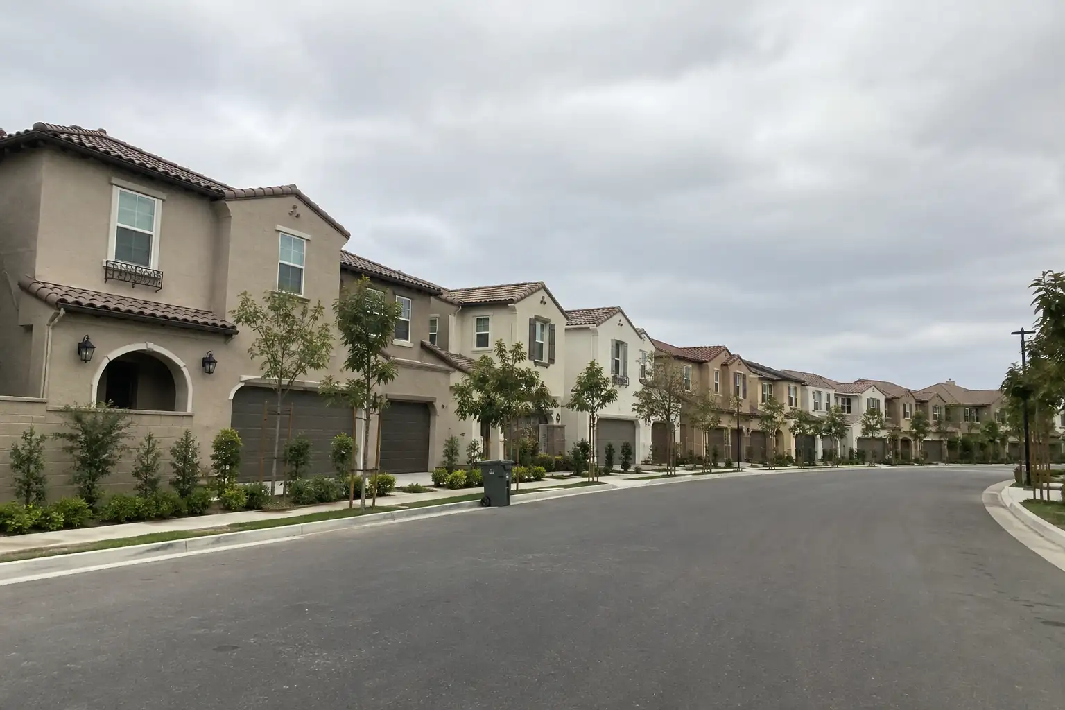
Began development in 1999 across roughly 23,000 acres east of I-805/SR-125; newer villages carry Mediterranean and Santa Barbara-influenced architecture.

Rancho del Rey

Established in 1989, one of the city's earlier east-side master-planned communities.

Millenia

Newer planned community in the eastern annexation area, among the most recently built in the city.

Rolling Hills Ranch

Planned community in east Chula Vista.

San Miguel Ranch

Planned community in east Chula Vista.

A day around here

Ordinary life in Chula Vista, the way it actually runs — not a highlight reel.

Morning

An early walk at Friendship Park, before the day starts properly.

Afternoon

An hour at Memorial Park, between the errands that never show up on a listing sheet.

Evening

Dinner at Famers Table, then a short drive back to whichever neighbourhood you call home.

Illustrative scenes, not photographs of the places named. Places from OpenStreetMap, © OpenStreetMap contributors, ODbL.

Homes near here

Real listings live in Chula Vista right now — not a wish list.

All Chula Vista listings →

Active listings, as of September 22. Photos are illustrative — not photographs of the address on the card.

Ready to see Chula Vista for yourself?

Ask the Insider desk what's new, what dropped, and what's worth a look near you.

Private request. No recurring email is sent automatically.



