


Outdoors
- Victoria ParkPublic park, in town.
- Sheridan ParkPublic park, in town.
- Our Lady of Guadalupe Prayer GardenPublic garden, in town.
- Joy ParkPublic park, in town.
- Merrill ParkPublic park, in town.
- Casa De VillaPublic park, in town.

Navigation
 Buy
Buy Photo unavailable2225 Indigo Hills Drive 3-$20,000Listing brokerageMint Real Estate
 Photo unavailable987 Chinotto-$20,100Listing brokerageKeller Williams Realty
 Sell
Sell Photo unavailable580 CalhounSoldListing brokerageAndy Nugen, Broker
 Photo unavailable1048 Explanada Street 101Active Under ContractListing brokerageNew Star Realty & Inv.
 InvestPhoto unavailable2225 Indigo Hills Drive 3-$20,000Listing brokerageMint Real EstatePhoto unavailable987 Chinotto-$20,100Listing brokerageKeller Williams Realty
 Inspector’s Eye
 Vault
Vault Learn
Learn AboutTalk to Zarko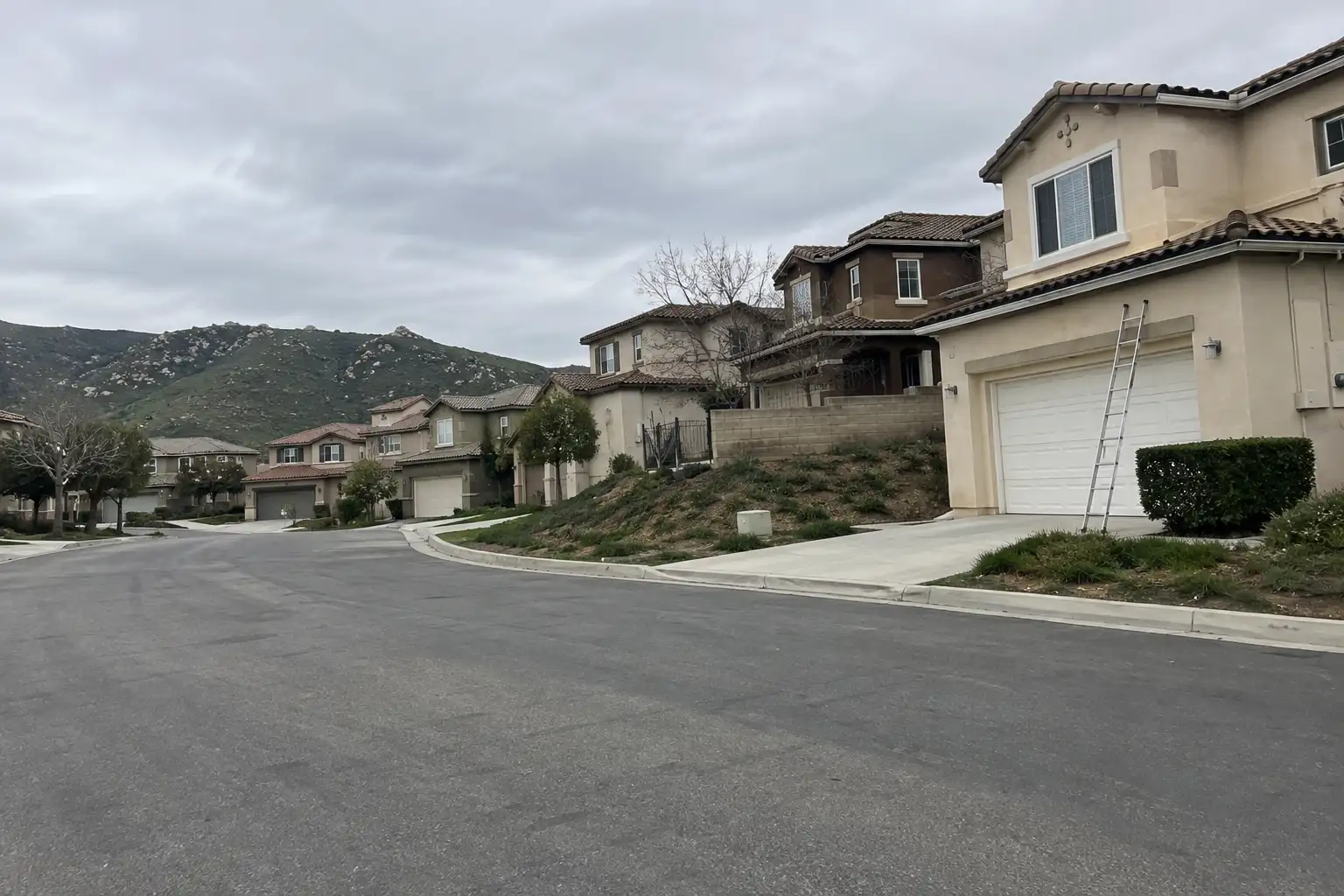
Around Corona
The neighbourhoods, the daily rhythm and the drive to everywhere else — the part of a home search a listing sheet never covers.
See homes near here →The desk is building a real map of Corona — outdoors, local flavor, the commute and daily errands — rather than printing a generic list.

The desk hasn't surveyed wine & local flavor around Corona yet — this card fills in as soon as it has, real names only.


Places from OpenStreetMap, September 10. © OpenStreetMap contributors. Distances are straight-line from the city centre, not drive times.
Where Corona actually breaks down, in the desk's own words.
Full neighbourhood file →Newer lifestyle-center-adjacent community with a strong HOA.
Golf-course community on the south side, larger lots and mature landscaping.
Eastern hillside foothill tracts closest to open space.
The original core around the old circular street grid, with the oldest housing stock in Corona.
Ordinary life in Corona, the way it actually runs — not a highlight reel.

An early walk at Our Lady of Guadalupe Prayer Garden, before the day starts properly.

An hour at Victoria Park, between the errands that never show up on a listing sheet.

Dinner at Circle City Tavern, then a short drive back to whichever neighbourhood you call home.
Illustrative scenes, not photographs of the places named. Places from OpenStreetMap, © OpenStreetMap contributors, ODbL.
Real listings live in Corona right now — not a wish list.
All Corona listings →



Active listings, as of September 22. Photos are illustrative — not photographs of the address on the card.
Ask the Insider desk what's new, what dropped, and what's worth a look near you.