


Outdoors
- Hillcrest ParkPublic park, in town.
- Garden Of WeedenPublic garden, in town.
- Hundred Oaks Trail Native GardenPublic garden, in town.
- Hiltscher ParkPublic park, in town.
- Brea Dam ParkPublic park, in town.
- Ford ParkPublic park, in town.

Navigation
 Buy
Buy Photo unavailable1941 Skyline Drive-$100,000Listing brokerageTime Realty
 Photo unavailable2260 Clark-$10,000Listing brokerageNew Star Realty & Investment
 Sell
Sell Photo unavailable3131 Laurel Avenue 9PendingListing brokerageRE/MAX TOP PRODUCERS
 Photo unavailable349 W FernPendingListing brokerageCOR Homes
 InvestPhoto unavailable1941 Skyline Drive-$100,000Listing brokerageTime RealtyPhoto unavailable2260 Clark-$10,000Listing brokerageNew Star Realty & Investment
 Inspector’s Eye
 Vault
Vault Learn
Learn AboutTalk to Zarko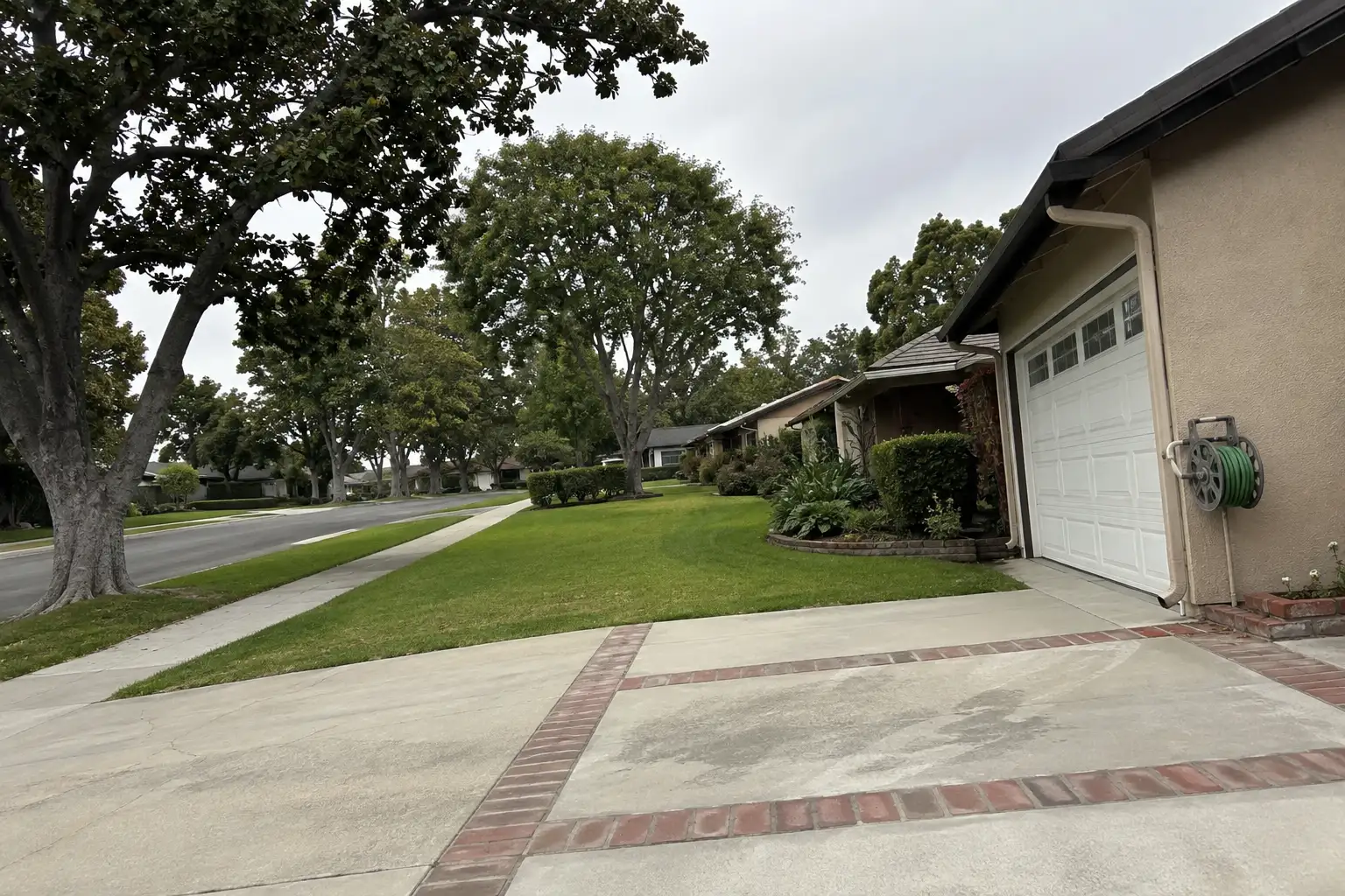
Around Fullerton
The neighbourhoods, the daily rhythm and the drive to everywhere else — the part of a home search a listing sheet never covers.
See homes near here →The desk is building a real map of Fullerton — outdoors, local flavor, the commute and daily errands — rather than printing a generic list.


Places from OpenStreetMap, September 10. © OpenStreetMap contributors. Distances are straight-line from the city centre, not drive times.
Where Fullerton actually breaks down, in the desk's own words.
Full neighbourhood file →A master-planned community built in the late 1990s and 2000s on the former Hughes Aircraft site in west Fullerton.
One of Fullerton's most established neighborhoods, with larger lots and long-standing single-family homes on tree-lined streets.
Custom and semi-custom estate homes in the hills near Craig Regional Park.
Developed mostly from the 1970s through the 2000s on the city's western edge, closest to open space.
Ordinary life in Fullerton, the way it actually runs — not a highlight reel.

Coffee at McClain's Coffeehouse, then whatever the day actually needs.

An hour at Hillcrest Park, between the errands that never show up on a listing sheet.

Dinner at Sizzler, then a short drive back to whichever neighbourhood you call home.
Illustrative scenes, not photographs of the places named. Places from OpenStreetMap, © OpenStreetMap contributors, ODbL.
Real listings live in Fullerton right now — not a wish list.
All Fullerton listings →



Active listings, as of September 22. Photos are illustrative — not photographs of the address on the card.
Ask the Insider desk what's new, what dropped, and what's worth a look near you.