


Outdoors
- Olberz ParkPublic park, in town.
- Memorial ParkPublic park, in town.
- Lilac GardenPublic garden, in town.
- Ancient ForestPublic garden, in town.
- Center CirclePublic garden, in town.
- Natures TablePublic garden, in town.

Navigation
 Buy
Buy Photo unavailable567 Meadow Grove Street-$455,000Listing brokerageColdwell Banker Realty
 Photo unavailable369 San Juan Way-$50,999Listing brokerageCirca Properties, Inc.
 Sell
Sell Photo unavailable4614 Crown AvenueActive Under ContractListing brokerageKeller Williams Realty
 Photo unavailable224 Starlight Crest DriveActive Under ContractListing brokerageKeller Williams Realty
 InvestPhoto unavailable567 Meadow Grove Street-$455,000Listing brokerageColdwell Banker RealtyPhoto unavailable369 San Juan Way-$50,999Listing brokerageCirca Properties, Inc.
 Inspector’s Eye
 Vault
Vault Learn
Learn AboutTalk to Zarko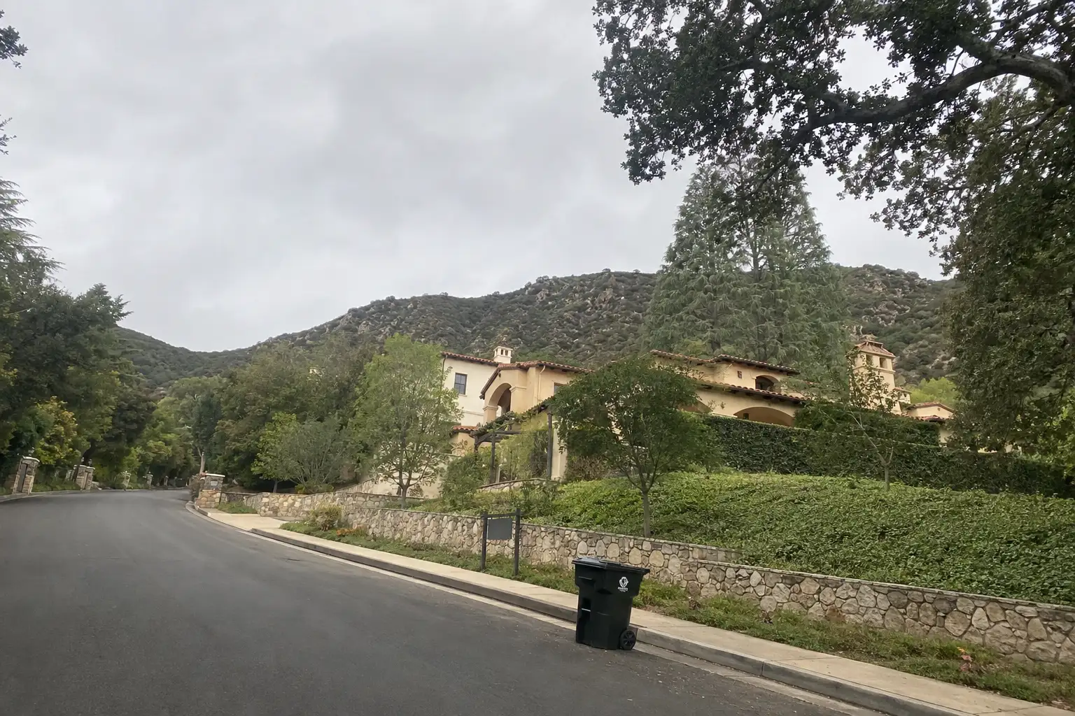
Around La Cañada Flintridge
The neighbourhoods, the daily rhythm and the drive to everywhere else — the part of a home search a listing sheet never covers.
See homes near here →The desk is building a real map of La Cañada Flintridge — outdoors, local flavor, the commute and daily errands — rather than printing a generic list.


Places from OpenStreetMap, September 10. © OpenStreetMap contributors. Distances are straight-line from the city centre, not drive times.
Where La Cañada Flintridge actually breaks down, in the desk's own words.
Full neighbourhood file →The valley's original Anglo settlement, built on the old Rancho La Cañada after Jacob Lanterman and Adolphus Williams purchased it in 1875; slow early growth, hampered by scarce water, gave way to orchards and a reputation as a clear-air refuge for tuberculosis sufferers before the 20th century.
The southern half of the city, platted by developer and U.S.
The city's main commercial spine opened as a $60 million, 2008 shopping development at Foothill Boulevard and Angeles Crest Highway; the former Sport Chalet corporate headquarters next door became the new City Hall in 2016 after the retailer's bankruptcy, replacing the original 1975 building.
NASA's Jet Propulsion Laboratory occupies the city's eastern edge along the upper Arroyo Seco, adjacent to Hahamongna Watershed Park (formerly Oak Grove Park) — though JPL's own mailing address reads Pasadena, the lab sits physically within La Cañada Flintridge and has its own dedicated county fire station.
A canyon neighborhood in the La Cañada Unified School District built around Paradise Canyon Elementary School, one of three K-6 campuses in a district that earned the second-highest Academic Performance Index score in California in 2010.
La Cañada Flintridge is the southern terminus of the Angeles Crest Highway, which climbs a steep two-mile grade into the San Gabriel Mountains from its intersection with Foothill Boulevard — a junction that has seen repeated runaway-truck and vehicle accidents, including fatal crashes in 2008 and 2009 that led California to ban heavy multi-axle trucks from the route in 2009.
Ordinary life in La Cañada Flintridge, the way it actually runs — not a highlight reel.

Coffee at Alto Boba, then whatever the day actually needs.

An hour at Olberz Park, between the errands that never show up on a listing sheet.

Dinner at Taylor's Steakhouse, then a short drive back to whichever neighbourhood you call home.
Illustrative scenes, not photographs of the places named. Places from OpenStreetMap, © OpenStreetMap contributors, ODbL.
Real listings live in La Cañada Flintridge right now — not a wish list.
All La Cañada Flintridge listings →



Active listings, as of September 22. Photos are illustrative — not photographs of the address on the card.
Ask the Insider desk what's new, what dropped, and what's worth a look near you.