

Skip to content
Insider Realty, powered by AXEN Realty
Talk to Zarko

Around La Puente

La Puente, beyond the house.

The neighbourhoods, the daily rhythm and the drive to everywhere else — the part of a home search a listing sheet never covers.

See homes near here

This guide covers

  • Downtown / Civic Core
  • The Donut Hole (Amar Road)
  • Skyranch tract
  • Rimgrove
  • San Angelo / Vineland corridor

The desk's real neighbourhood file for La Puente — not a citywide average.

What is actually here

The desk is building a real map of La Puente — outdoors, local flavor, the commute and daily errands — rather than printing a generic list.

Outdoors

  • La Puente ParkPublic park, in town.
  • Industry Hills Recreation CenterPublic park, in town.
  • Steinmetz ParkPublic park, about 2.1 km from the city centre, straight line.
  • Allen J Martin ParkPublic park, about 2.5 km from the city centre, straight line.
  • Hacienda Heights ParkPublic park, about 2.7 km from the city centre, straight line.
  • Manzanita ParkPublic park, about 2.9 km from the city centre, straight line.

Wine & Local Flavor

The desk hasn't surveyed wine & local flavor around La Puente yet — this card fills in as soon as it has, real names only.

Getting Around

  • CA 60Freeway through the area — the Pomona Freeway.
  • I 605Freeway through the area — the San Gabriel River Freeway.
  • I 10Freeway through the area — the San Bernardino Freeway.
  • Baldwin ParkRail station, about 7.4 km from the city centre, straight line.

  • IndustryRail station, about 9.8 km from the city centre, straight line.

  • CovinaRail station, about 9.8 km from the city centre, straight line.

Food & Daily Life

  • DomesticRestaurant, in town.
  • iGrillRestaurant, in town.
  • Casa Blanca Mexican RestaurantRestaurant, in town.
  • The Donut HoleCafe, about 1.9 km from the city centre, straight line.

  • Jim's BurgersRestaurant, about 2.6 km from the city centre, straight line.

  • Taco del RioRestaurant, about 2.6 km from the city centre, straight line.

Places from OpenStreetMap, September 10. © OpenStreetMap contributors. Distances are straight-line from the city centre, not drive times.

The neighbourhoods

Where La Puente actually breaks down, in the desk's own words.

Full neighbourhood file →

Downtown / Civic Core

Centered on Main Street around City Hall, built at 15900 E.

The Donut Hole (Amar Road)

Built in 1968 with two 26-foot doughnut-shaped drive-through portals — an example of Southern California's mimetic "programmatic" architecture style — it's the last of five original Donut Hole locations still standing and is recognized by the Los Angeles Conservancy.

Skyranch tract

Built over the site of a small private airfield that operated from 1944 to 1951, this residential tract replaced the runway after the airport closed and the land was subdivided for housing.

Rimgrove

A residential pocket in the city's north end anchored by Rimgrove Park on Rimgrove Drive.

San Angelo / Vineland corridor

San Angelo Park anchors this residential corridor along Vineland Avenue, in La Puente's 91746 ZIP on the city's western side.

A day around here

Ordinary life in La Puente, the way it actually runs — not a highlight reel.

Morning

Coffee at The Donut Hole, then whatever the day actually needs.

Afternoon

An hour at La Puente Park, between the errands that never show up on a listing sheet.

Evening

Dinner at Domestic, then a short drive back to whichever neighbourhood you call home.

Illustrative scenes, not photographs of the places named. Places from OpenStreetMap, © OpenStreetMap contributors, ODbL.

Homes near here

Real listings live in La Puente right now — not a wish list.

All La Puente listings →

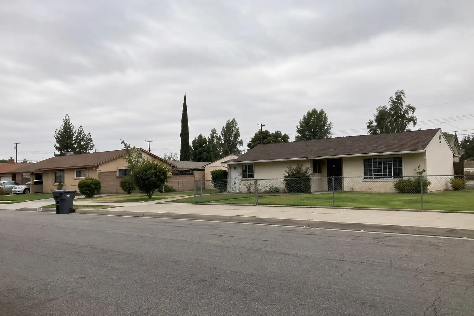
Active listings, as of September 22. Photos are illustrative — not photographs of the address on the card.

Ready to see La Puente for yourself?

Ask the Insider desk what's new, what dropped, and what's worth a look near you.

Private request. No recurring email is sent automatically.