

Skip to content
Insider Realty, powered by AXEN Realty
Talk to Zarko

Around Lancaster

Lancaster, beyond the house.

The neighbourhoods, the daily rhythm and the drive to everywhere else — the part of a home search a listing sheet never covers.

See homes near here

This guide covers

  • Downtown / BLVD Historic District
  • Westside
  • Eastside
  • North Lancaster

The desk's real neighbourhood file for Lancaster — not a citywide average.

What is actually here

The desk is building a real map of Lancaster — outdoors, local flavor, the commute and daily errands — rather than printing a generic list.

Outdoors

  • American Heroes ParkPublic park, in town.
  • Jane Reynolds ParkPublic park, in town.
  • Whit Carter ParkPublic park, about 1.5 km from the city centre, straight line.
  • Mariposa ParkPublic park, about 1.7 km from the city centre, straight line.
  • Antelope Valley FairgroundsPublic park, about 1.9 km from the city centre, straight line.
  • Deputy Pierre W. Bain Park/East Side PoolPublic park, about 2.1 km from the city centre, straight line.

Wine & Local Flavor

  • Antelope Valley WineryWinery, about 6.1 km from the city centre, straight line.

Getting Around

  • LancasterRail station, in town.
  • General William J. Fox AirfieldAirport, about 8.0 km from the city centre, straight line.

  • CA 138Highway through the area — the West Avenue D.
  • USAF Plant 42 / Palmdale Regional AirportAirport, about 9.6 km from the city centre, straight line.

  • CA 14Freeway through the area — the Antelope Valley Freeway.

Food & Daily Life

  • StarbucksCafe, in town.
  • AztecaRestaurant, in town.
  • Zelda's 750 WestRestaurant, in town.
  • Pueblo ViejoRestaurant, in town.
  • Giannini'sRestaurant, in town.
  • Thursday Evening MarketMarket, in town.

Places from OpenStreetMap, September 10. © OpenStreetMap contributors. Distances are straight-line from the city centre, not drive times.

The neighbourhoods

Where Lancaster actually breaks down, in the desk's own words.

Full neighbourhood file →

Downtown / BLVD Historic District

Lancaster's original core along West Lancaster Boulevard, with the city's oldest commercial and residential stock.

Westside

A more rural section of west Lancaster with larger lots and fewer subdivisions.

Eastside

Developed from the 1960s through the aerospace-industry boom, with a mix of midcentury ranches and newer two-story tracts.

North Lancaster

Newer subdivisions built out through the 2010s and still adding phases near Avenue J.

A day around here

Ordinary life in Lancaster, the way it actually runs — not a highlight reel.

Morning

An early walk at American Heroes Park, before the day starts properly.

Afternoon

An hour at Jane Reynolds Park, between the errands that never show up on a listing sheet.

Evening

Dinner at Azteca, then a short drive back to whichever neighbourhood you call home.

Illustrative scenes, not photographs of the places named. Places from OpenStreetMap, © OpenStreetMap contributors, ODbL.

Homes near here

Real listings live in Lancaster right now — not a wish list.

All Lancaster listings →

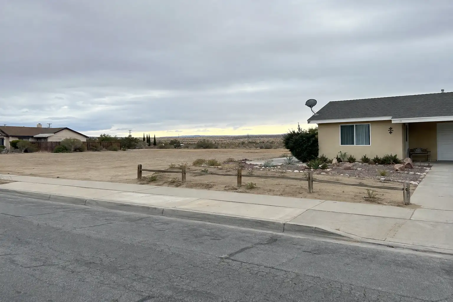
Active listings, as of September 22. Photos are illustrative — not photographs of the address on the card.

Ready to see Lancaster for yourself?

Ask the Insider desk what's new, what dropped, and what's worth a look near you.

Private request. No recurring email is sent automatically.




