

Skip to content
Insider Realty, powered by AXEN Realty
Talk to Zarko

Around Lawndale

Lawndale, beyond the house.

The neighbourhoods, the daily rhythm and the drive to everywhere else — the part of a home search a listing sheet never covers.

See homes near here

This guide covers

  • Civic Center
  • Hawthorne Boulevard Corridor
  • The 1905 Hopper Townsite
  • Lawndale Acres
  • Marine Avenue

The desk's real neighbourhood file for Lawndale — not a citywide average.

What is actually here

The desk is building a real map of Lawndale — outdoors, local flavor, the commute and daily errands — rather than printing a generic list.

Outdoors

  • Jane Addams ParkPublic park, in town.
  • Rogers-Anderson ParkPublic park, in town.
  • Ramona ParkPublic park, in town.
  • Jim Thorpe ParkPublic park, in town.
  • Glasgow ParkPublic park, about 1.8 km from the city centre, straight line.
  • Bodger ParkPublic park, about 1.9 km from the city centre, straight line.

Wine & Local Flavor

  • MB Wine CoWine shop, about 3.9 km from the city centre, straight line.
  • UncorkedWine shop, about 5.6 km from the city centre, straight line.

Getting Around

  • I 405Freeway through the area — the San Diego Freeway.
  • Redondo BeachRail station, in town.
  • DouglasRail station, about 2.8 km from the city centre, straight line.

  • Hawthorne Municipal AirportAirport, about 3.2 km from the city centre, straight line.

  • El SegundoRail station, about 3.6 km from the city centre, straight line.

  • CrenshawRail station, about 3.9 km from the city centre, straight line.

Food & Daily Life

  • Sprouts Farmers MarketSupermarket, in town.
  • #1 Buffet Chinese Buffet RestaurantRestaurant, in town.
  • Colombian DelicatessenRestaurant, in town.
  • Corner JointRestaurant, in town.
  • King & WingsRestaurant, in town.
  • Ocho Rios GrillRestaurant, in town.

Places from OpenStreetMap, September 10. © OpenStreetMap contributors. Distances are straight-line from the city centre, not drive times.

The neighbourhoods

Where Lawndale actually breaks down, in the desk's own words.

Full neighbourhood file →

Civic Center

City Hall sits at 14717 Burin Avenue; the County of Los Angeles Public Library's Lawndale branch next door reopened after renovation in 2009.

Hawthorne Boulevard Corridor

Once known as Railway Avenue for the Pacific Electric "Red Car" line that ran down its median until 1933, the boulevard (State Route 107) was rebuilt as the centerpiece of the city's 2003 "Beautify Lawndale" urban renewal project.

The 1905 Hopper Townsite

Developer Charles B.

Lawndale Acres

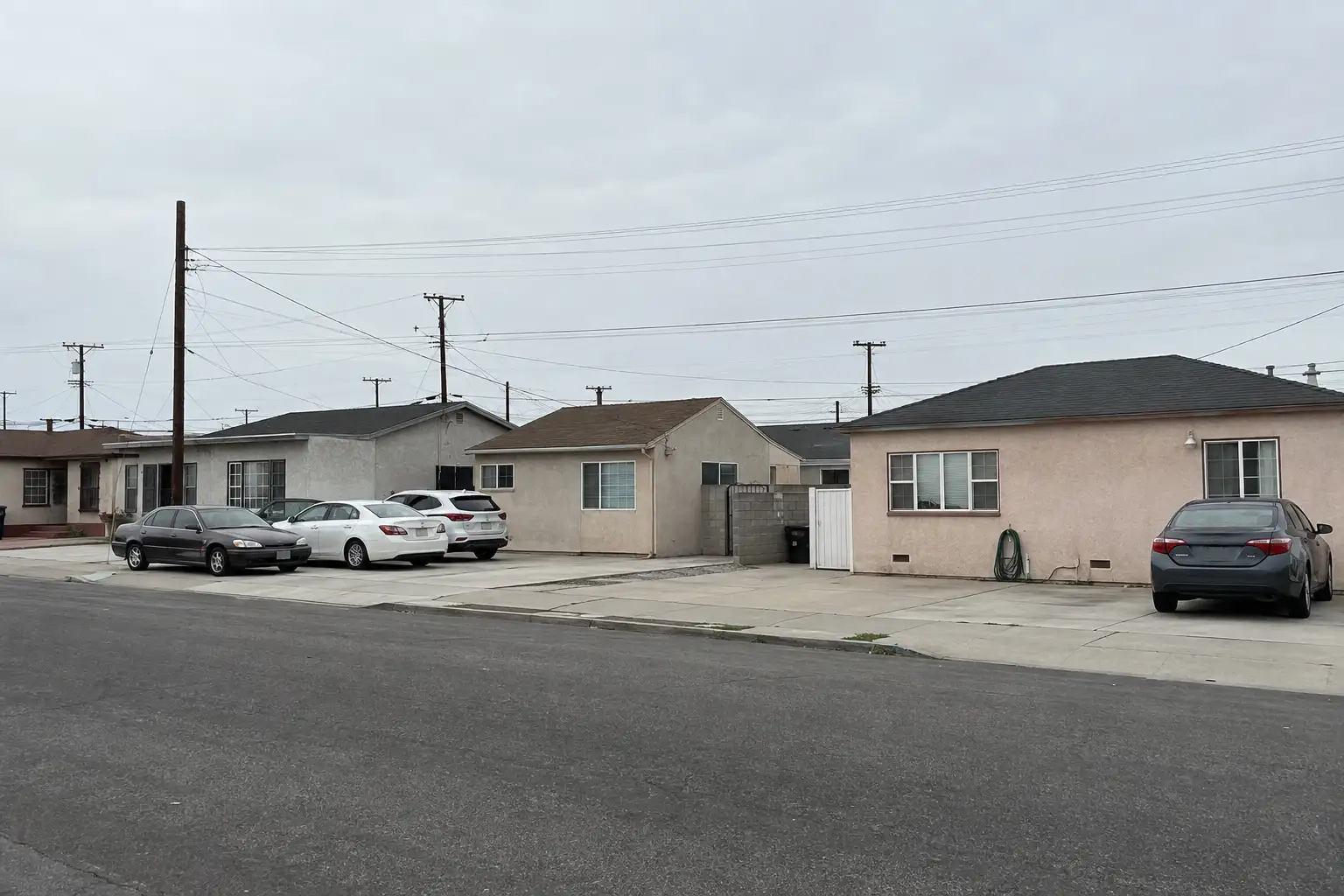
A residential tract in the city's northwest corner recognized by name on local real-estate listing sites, built out mostly with single-family and small multifamily housing between the 1940s and 1960s during Lawndale's postwar bedroom-community boom.

Marine Avenue

A secondary commercial spine anchored by the Lawndale Post Office at 4320 Marine Avenue, running through the tract housing that filled in after the city's 1959 incorporation.

A day around here

Ordinary life in Lawndale, the way it actually runs — not a highlight reel.

Morning

An early walk at Jane Addams Park, before the day starts properly.

Afternoon

An hour at Rogers-Anderson Park, between the errands that never show up on a listing sheet.

Evening

Dinner at #1 Buffet Chinese Buffet Restaurant, then a short drive back to whichever neighbourhood you call home.

Illustrative scenes, not photographs of the places named. Places from OpenStreetMap, © OpenStreetMap contributors, ODbL.

Homes near here

Real listings live in Lawndale right now — not a wish list.

All Lawndale listings →

Active listings, as of September 22. Photos are illustrative — not photographs of the address on the card.

Ready to see Lawndale for yourself?

Ask the Insider desk what's new, what dropped, and what's worth a look near you.

Private request. No recurring email is sent automatically.
