



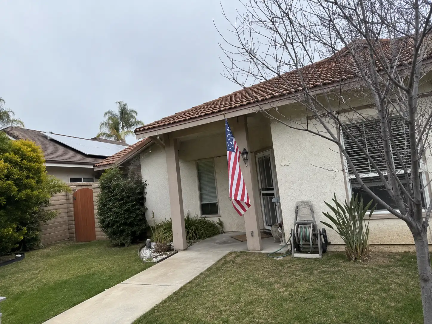
If you’re buying or selling a Bellflower home, the 2026 hazard plan gives you citywide information to read alongside the property’s natural hazard disclosure. Earthquake and extreme heat receive its highest rankings. It’s a planning and grant document, not a change to homeowner rules.
The Federal Emergency Management Agency (FEMA) approved Bellflower’s 2026 Local Hazard Mitigation Plan (LHMP) on September 15, 2026, and the plan “needs to be formally adopted by the City Council.” It was scheduled for adoption on October 26, 2026, under Resolution No. 26-40, superseding Resolution No. 18-55, as consideration item 14-A. As of October 27, 2026, the outcome had not been posted. Check the posted minutes on the City Council meetings page.
What is the plan for?
The LHMP describes natural threats and sets actions to reduce long-term risk, while supporting the city’s eligibility for federal disaster reimbursement and mitigation grants.
FEMA requires cities to keep a current LHMP to qualify for federal reimbursement in a disaster. After adoption, FEMA issues a Letter of Approval that makes the city eligible for mitigation-related grants for five years. Bellflower’s prior plan was approved in 2018.
The update took about a year and a half with Emergency Planning Consultants (EPC), including five Planning Team meetings with city staff and community stakeholders. Extreme heat is new as a natural hazard in this update.
You can read the staff report, proposed resolution and attached plan in the 197-page item 14-A packet on the City Council meetings page. The October 26 agenda records the scheduled consideration.
Which hazards rank highest?
Earthquake and extreme heat rank High in the Planning Team’s Calculated Priority Risk Index, shown in Table B.4.
| Hazard | Ranking | Score |
|---|---|---|
| Earthquake | High | 3.25 |
| Extreme Heat | High | 2.70 |
| Dam Inundation | Medium | 2.50 |
| Strong Wind | Medium | 2.35 |
| Flood | Medium | 2.25 |
| Drought | Low | 1.50 |
| Wildfire | Low | 1.50 |
Only Medium and High hazards were profiled. The plan says drought and wildfire were not profiled because their scores fell below the level of consideration.
For a purchase, read these citywide rankings alongside the natural hazard disclosure report. What does that document say about the property, and what questions does it leave for the Planning Department? Those are useful questions to carry into the address check.
What does it say about earthquakes?
The plan places Bellflower between fault zones and states that all of the city is vulnerable to liquefaction.
It identifies the Whittier-Elsinore Fault Zone to the northeast and the Newport-Inglewood Fault to the southwest. Bellflower also partly overlies the leading edge of the Santa Fe Springs segment of the Puente Hills blind thrust fault, which the plan says appears to underlie the northern portion of the city.
Citing the Safety Element, the plan explains that liquefaction typically occurs where groundwater is less than 30 feet below the surface and soils are mostly poorly consolidated fine sand. Its citywide statement is direct: “All of the City is vulnerable to liquefaction.”
For related reading, see the earthquake retrofits guide. The LHMP’s earthquake discussion provides citywide context for questions about a particular property.
What does it say about flooding?
The plan reports no current Special Flood Hazard Areas on FEMA’s maps for Bellflower, while also documenting urban flooding and limitations in the maps.
The Flood Insurance Rate Maps were last updated on September 26, 2008. The listed panels are 06037C1820F and 06037C1840F. The plan cautions that the maps are not entirely accurate and that human-caused and natural environmental changes have changed stormwater dynamics since then.
Its historical urban flooding locations include Flora Vista Street at California Avenue, Grand Avenue and Rendalia Street; Bellflower Boulevard at the 91 Freeway westbound exit ramp and at Rosecrans Avenue; and Woodruff Avenue at Artesia Boulevard. It also says storm drains often back up with vegetative debris.
Look up the address on FEMA’s flood map and ask the Planning Department about it. The citywide map statement doesn’t answer the address question for you.
How does the plan describe the rivers and dams?
The plan describes river channel studies and dam inundation scenarios separately from the current FEMA map designation.
The San Gabriel River channel lies adjacent to and east of Bellflower and is designed to contain a 100-year flood. The plan cites U.S. Army Corps of Engineers (USACE) studies finding no deficiencies along that river near the city. It also cites a June 1992 USACE review placing Bellflower in the Los Angeles River’s 100-year floodplain because of channel deficiencies west of the city. The current FEMA maps show no Special Flood Hazard Areas.
The Safety Element identifies Whittier Narrows Dam and Hansen Dam as potentially affecting Bellflower. The plan reports a “high” hazard potential classification for Whittier Narrows Dam and a “high” risk classification in USACE’s August 2019 safety study. It describes failure scenarios as “unlikely” and tied to “rare, extremely high rainfall events.”
USACE is designing a long-term solution and monitoring the dam. The plan’s failure scenario gives fifteen hours for water to reach Bellflower and a depth of 4 feet. Read the related Whittier Narrows Dam safety project guide.
What should you check for a purchase or sale?
Start with the address, the natural hazard disclosure and the council’s posted adoption record.
- Look up the address on FEMA’s flood map.
- Ask the Planning Department, where the Planning Director serves as floodplain administrator, about the address and map.
- Read the natural hazard disclosure in a purchase.
- Read the item 14-A packet and check the posted council minutes for the adoption vote.
Bellflower participates in the National Flood Insurance Program. The city’s floodplain management ordinance is Bellflower Municipal Code 15.36.010. The city reviews each building permit and discretionary land use permit for its location on the flood maps.
A Bellflower homeowner showed me the folder she keeps for insurance renewals, repair receipts, and emergency information. She wanted to add the city’s 2026 hazard plan but was not sure what the document could tell her about her particular house. We talked about using the plan to identify the hazards and mitigation work the city is planning for, without treating it as a property-specific inspection. She came away with a better question: not whether the plan declared her home safe, but which risks the city was preparing for.
What happens with the Safety Element?
State law requires Bellflower to review its General Plan Safety Element each time it revises the LHMP.
The staff report cites Government Code 65302(g)(4) and 65302.15. The Safety Element was last reviewed in 2017. Its update must add a climate-change vulnerability assessment, evacuation routes and new hazard information, including extreme heat and strong winds. The report says the 2026 LHMP is the first revision that triggers the evacuation-route requirement for Bellflower.
EPC’s added cost is $124,000. The city expects to bring the Safety Element update to the council in August 2027.
This is separate from the permit condition covered in the Bellflower remodel utility undergrounding guide.
The short version
Bellflower’s 2026 LHMP ranks earthquake and extreme heat highest and gives you citywide context for flood and dam questions.
As of October 27, 2026, the adoption outcome had not been posted. Check the council minutes, read the property’s natural hazard disclosure and ask the Planning Department about its FEMA map location.
This guide is educational, not legal or tax advice.
For a separate home value question, use the home value tool.
Common questions
Did Bellflower adopt the 2026 hazard plan?
The plan was scheduled for adoption on October 26, 2026. As of October 27, 2026, the outcome had not been posted. Check the posted City Council minutes.
Which hazards received the highest rankings?
The Planning Team ranked earthquake High at 3.25 and extreme heat High at 2.70. Dam inundation, strong wind and flood received Medium rankings.
Does the plan put a Bellflower home in a flood zone?
The plan states that Bellflower currently has no Special Flood Hazard Areas on FEMA's maps. Look up the address on FEMA's flood map and ask the Planning Department about it.
Does the plan change rules for homeowners?
It is a planning and grant document. A separate General Plan Safety Element update is expected to reach the council in August 2027.
