

Skip to content
Insider Realty, powered by AXEN Realty
Talk to Zarko

Around Lomita

Lomita, beyond the house.

The neighbourhoods, the daily rhythm and the drive to everywhere else — the part of a home search a listing sheet never covers.

See homes near here

This guide covers

  • Harbor Hills
  • Narbonne Avenue Civic Corridor
  • Eshelman Tract
  • Lomita Railroad Museum District
  • Nishiyamato Academy Area

The desk's real neighbourhood file for Lomita — not a citywide average.

What is actually here

The desk is building a real map of Lomita — outdoors, local flavor, the commute and daily errands — rather than printing a generic list.

Outdoors

  • Takaishi Japanese GardenPublic garden, in town.
  • Lomita ParkPublic park, in town.
  • Irene Lewis ParkPublic park, in town.
  • Sur La Brea ParkPublic park, in town.
  • Hathaway ParkPublic park, about 1.6 km from the city centre, straight line.
  • Torrance ParkPublic park, about 2.0 km from the city centre, straight line.

Wine & Local Flavor

  • UncorkedWine shop, about 9.8 km from the city centre, straight line.

Getting Around

  • Zamperini FieldAirport, about 1.8 km from the city centre, straight line.

  • Mary K. Giordano Regional Transit CenterBus station, about 4.3 km from the city centre, straight line.

  • CA 1Highway through the area — the Pacific Coast Highway.
  • Harbor Gateway Transit CenterBus station, about 7.8 km from the city centre, straight line.

  • Redondo Beach Transit CenterBus station, about 7.9 km from the city centre, straight line.

  • CA 91Freeway through the area — the Gardena Freeway.

Food & Daily Life

  • Rizzo's PizzaRestaurant, in town.
  • Cream PanCafe, in town.
  • Bonello'sRestaurant, in town.
  • Cara MiaCafe, in town.
  • Suki Time Thai KitchenRestaurant, in town.
  • Monster KimbapRestaurant, in town.

Places from OpenStreetMap, September 10. © OpenStreetMap contributors. Distances are straight-line from the city centre, not drive times.

The neighbourhoods

Where Lomita actually breaks down, in the desk's own words.

Full neighbourhood file →

Harbor Hills

A 1940-41 Los Angeles County Housing Authority public housing project — only the county's second — with 300 units on 27 of its 102 acres overlooking San Pedro Bay, designed by architect Reginald D.

Narbonne Avenue Civic Corridor

City Hall and the City Clerk's office sit at 24300 Narbonne Avenue, the government and commercial spine that anchors Lomita's roughly 2-square-mile street grid.

Eshelman Tract

Named for M.M.

Lomita Railroad Museum District

Built in 1966 on land donated by Irene Lewis and modeled on the Boston & Maine's Greenwood Station in Massachusetts, the museum displays a 1901 Baldwin locomotive and a 1910 Union Pacific caboose alongside a small public park.

Nishiyamato Academy Area

Home since 1993 to the Nishiyamato Academy of California, a Japanese elementary and junior high school founded by former Diet member Ryotaro Tanose as a sister school to Nishiyamato Gakuen in Nara Prefecture, Japan.

A day around here

Ordinary life in Lomita, the way it actually runs — not a highlight reel.

Morning

Coffee at Cream Pan, then whatever the day actually needs.

Afternoon

An hour at Lomita Park, between the errands that never show up on a listing sheet.

Evening

Dinner at Rizzo's Pizza, then a short drive back to whichever neighbourhood you call home.

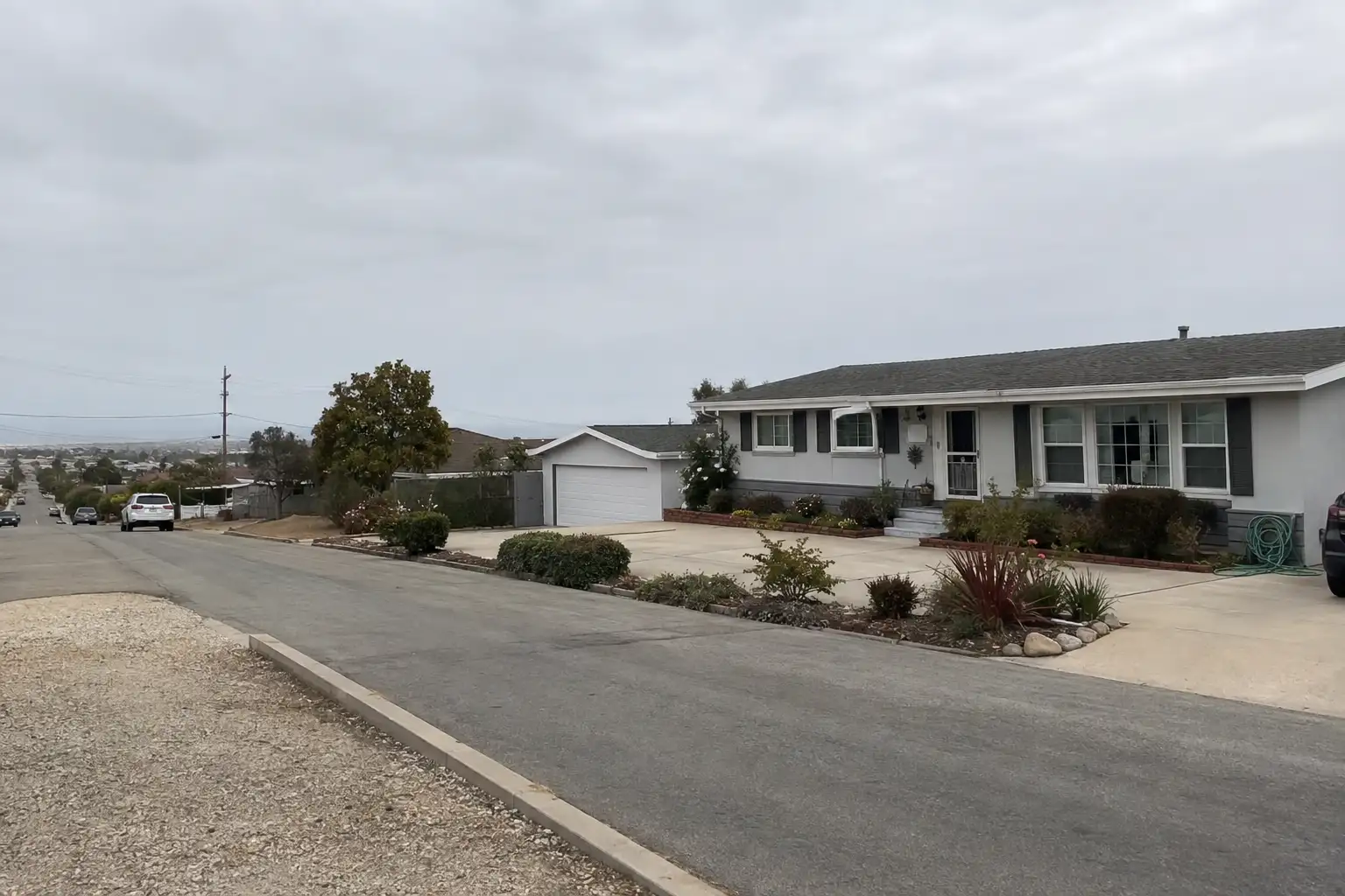
Illustrative scenes, not photographs of the places named. Places from OpenStreetMap, © OpenStreetMap contributors, ODbL.

Homes near here

Real listings live in Lomita right now — not a wish list.

All Lomita listings →

Active listings, as of September 22. Photos are illustrative — not photographs of the address on the card.

Ready to see Lomita for yourself?

Ask the Insider desk what's new, what dropped, and what's worth a look near you.

Private request. No recurring email is sent automatically.

