

Skip to content
Insider Realty, powered by AXEN Realty
Talk to Zarko

Around Lynwood

Lynwood, beyond the house.

The neighbourhoods, the daily rhythm and the drive to everywhere else — the part of a home search a listing sheet never covers.

See homes near here

This guide covers

  • Civic Center
  • Plaza México
  • Rancho San Antonio Tract
  • St. Paul's Lutheran Church District
  • Imperial Highway Corridor

The desk's real neighbourhood file for Lynwood — not a citywide average.

What is actually here

The desk is building a real map of Lynwood — outdoors, local flavor, the commute and daily errands — rather than printing a generic list.

Outdoors

  • Veterans Memorial GardenPublic garden, in town.
  • Lynwood ParkPublic park, in town.
  • Ricardo Lara Linear ParkPublic park, in town.
  • Camphor Tree ParkPublic park, in town.
  • Yvonne Burke-John D. Ham ParkPublic park, about 1.7 km from the city centre, straight line.
  • Los Amigos East ParkPublic park, about 1.7 km from the city centre, straight line.

Wine & Local Flavor

  • Wine Stop DTLAWine shop, about 12 km from the city centre, straight line.

Getting Around

  • LynwoodRail station, in town.
  • I 710Freeway through the area — the Long Beach Freeway.
  • Fronteras Del NorteBus station, about 3.4 km from the city centre, straight line.

  • Willowbrook/Rosa Parks StationBus station, about 3.6 km from the city centre, straight line.

  • Willowbrook/Rosa ParksRail station, about 3.7 km from the city centre, straight line.

  • ComptonRail station, about 3.9 km from the city centre, straight line.

Food & Daily Life

  • Tom's Famous Burgers 5Restaurant, in town.
  • La PastaRestaurant, in town.
  • BALAM Mexican KitchenRestaurant, in town.
  • Hacienda MarinaRestaurant, in town.
  • BIRRIERIA JALISCO LYNWOODRestaurant, in town.
  • El Gallo GiroRestaurant, in town.

Places from OpenStreetMap, September 10. © OpenStreetMap contributors. Distances are straight-line from the city centre, not drive times.

The neighbourhoods

Where Lynwood actually breaks down, in the desk's own words.

Full neighbourhood file →

Civic Center

City Hall sits at 11330 Bullis Road, the seat of government since Lynwood's 1921 incorporation on land once part of the 29,514-acre Rancho San Antonio.

Plaza México

A roughly 400,000-square-foot Mexican-themed retail and cultural center on Imperial Highway, designed by SCI-Arc-trained architect David Hidalgo and opened in 2002 on the former Lynwood Marketplace site; it sold for $165 million at a 2022 bankruptcy auction.

Rancho San Antonio Tract

The historic core of the 1810 land grant to Don Antonio María Lugo, whose partitioned acreage also underlies neighboring Bell, Bell Gardens, Commerce, Cudahy, Huntington Park, Maywood, Montebello, South Gate, Vernon, and Walnut Park.

St. Paul's Lutheran Church District

Centered on the historic St.

Imperial Highway Corridor

The city's main east-west commercial spine, home to Plaza México and much of Lynwood's retail base, running through a city whose average household size ranks among the largest in Los Angeles County.

A day around here

Ordinary life in Lynwood, the way it actually runs — not a highlight reel.

Morning

An early walk at Veterans Memorial Garden, before the day starts properly.

Afternoon

An hour at Lynwood Park, between the errands that never show up on a listing sheet.

Evening

Dinner at Tom's Famous Burgers 5, then a short drive back to whichever neighbourhood you call home.

Illustrative scenes, not photographs of the places named. Places from OpenStreetMap, © OpenStreetMap contributors, ODbL.

Homes near here

Real listings live in Lynwood right now — not a wish list.

All Lynwood listings →

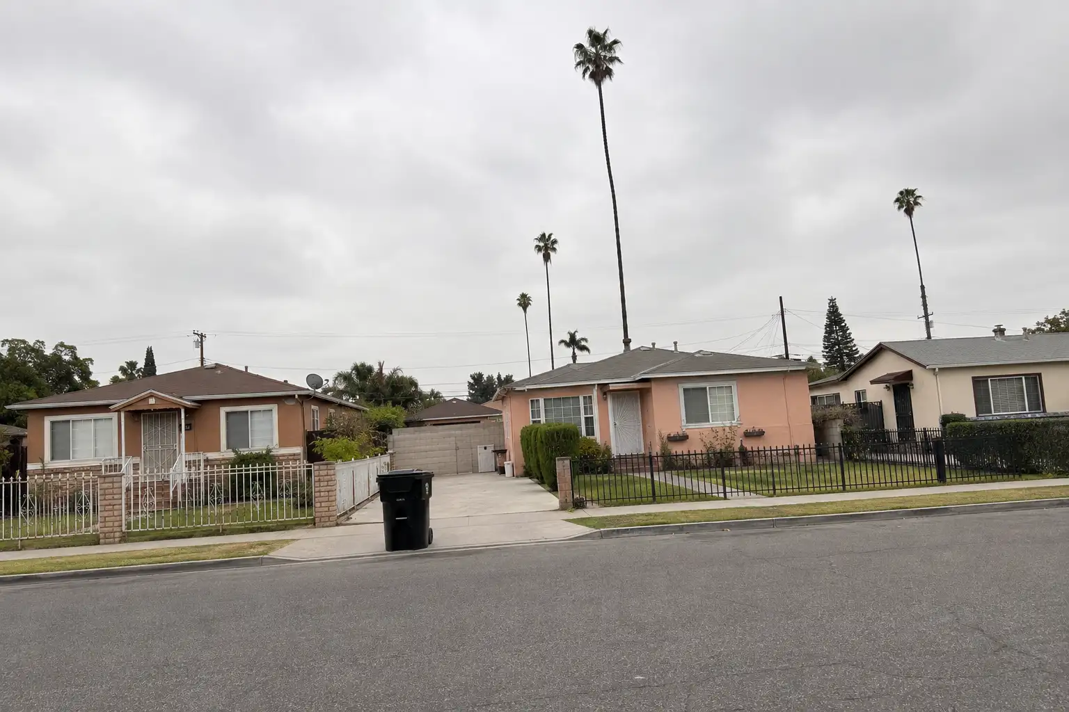
Active listings, as of September 22. Photos are illustrative — not photographs of the address on the card.

Ready to see Lynwood for yourself?

Ask the Insider desk what's new, what dropped, and what's worth a look near you.

Private request. No recurring email is sent automatically.


