


Outdoors
- Rotary ParkPublic park, in town.
- Library ParkPublic park, in town.
- Julian Fisher ParkPublic park, in town.
- Recreation ParkPublic park, in town.
- Lucinda Garcia ParkPublic park, in town.
- Grand Avenue ParkPublic park, in town.

Navigation
 Buy
Buy Photo unavailable122 E El Norte-$66,999Listing brokerage168 Realty Inc.
 Photo unavailable1016 Briarcliff Road-$288,750Listing brokerageKeller Williams Realty
 Sell
Sell Photo unavailable785 Norumbega DriveBack on marketListing brokerageColdwell Banker Realty
 Photo unavailable127 ShrodeSoldListing brokerageKeller Williams Realty
 InvestPhoto unavailable122 E El Norte-$66,999Listing brokerage168 Realty Inc.Photo unavailable1016 Briarcliff Road-$288,750Listing brokerageKeller Williams Realty
 Inspector’s Eye
 Vault
Vault Learn
Learn AboutTalk to Zarko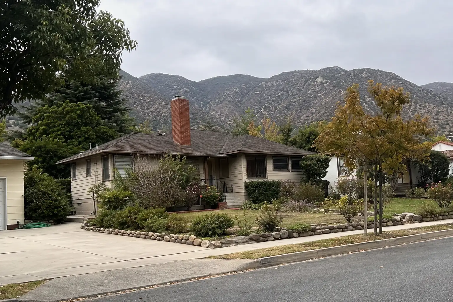
Around Monrovia
The neighbourhoods, the daily rhythm and the drive to everywhere else — the part of a home search a listing sheet never covers.
See homes near here →The desk is building a real map of Monrovia — outdoors, local flavor, the commute and daily errands — rather than printing a generic list.

The desk hasn't surveyed wine & local flavor around Monrovia yet — this card fills in as soon as it has, real names only.


Places from OpenStreetMap, September 10. © OpenStreetMap contributors. Distances are straight-line from the city centre, not drive times.
Where Monrovia actually breaks down, in the desk's own words.
Full neighbourhood file →The original 1886 townsite along Myrtle Avenue between Foothill Boulevard and Duarte Road, laid out by founder William N.
A historic residential district between Colorado Boulevard and Foothill Boulevard built out between 1910 and 1940, predominantly Craftsman, Spanish Colonial Revival, and Tudor homes on wide, jacaranda- and oak-lined streets.
Designated by the Monrovia City Council in February 2008 and formally dedicated March 17, 2009, this district covers the 300 block of Wildrose Avenue between Canyon Boulevard and California Avenue and lists 18 properties, 15 of them historic contributors.
Monrovia's second local historic district, created April 4, 2017 and dedicated that July 27, spans the 100 and 200 blocks of North Encinitas Avenue between Foothill Boulevard and Greystone Avenue, with 64 properties and 38 listed as contributors.
The hillside area north of Foothill Boulevard climbs directly into the San Gabriel Mountains on lots typically 7,000 to 15,000-plus square feet, along streets like Canyon Boulevard, Norumbega Drive, and Mountain Avenue — the part of the city closest to the wildland-urban interface.
At the end of Canyon Boulevard, Monrovia Canyon Park's nature center and the 1.6-mile round-trip trail to Monrovia Canyon Falls mark the city's boundary with Angeles National Forest; the trail continues past the falls toward 5,409-foot Monrovia Peak.
Ordinary life in Monrovia, the way it actually runs — not a highlight reel.

An early walk at Rotary Park, before the day starts properly.

An hour at Library Park, between the errands that never show up on a listing sheet.

Dinner at Wang's Place, then a short drive back to whichever neighbourhood you call home.
Illustrative scenes, not photographs of the places named. Places from OpenStreetMap, © OpenStreetMap contributors, ODbL.
Real listings live in Monrovia right now — not a wish list.
All Monrovia listings →



Active listings, as of September 22. Photos are illustrative — not photographs of the address on the card.
Ask the Insider desk what's new, what dropped, and what's worth a look near you.