


Outdoors
- Hoffman ParkPublic park, in town.
- Golden Girls Softball FieldPublic park, in town.
- Saratoga ParkPublic park, in town.
- Sunrise ParkPublic park, in town.
- Kingsley ParkPublic park, in town.
- Wilderness Basin ParkPublic park, in town.

Navigation
 Buy
Buy Photo unavailable10593 Mills-$39,999Listing brokerageehomes
 Photo unavailable10477 Yosemite-$66,000Listing brokerageeXp of Greater Los Angeles
 Sell
Sell Photo unavailable4765 HarvardSoldListing brokerageCORNERSTONE PROP MANG & INVEST
 Photo unavailable4963 Laurel Street CSoldListing brokerageTreelane Realty Group Inc.
 InvestPhoto unavailable10593 Mills-$39,999Listing brokerageehomesPhoto unavailable10477 Yosemite-$66,000Listing brokerageeXp of Greater Los Angeles
 Inspector’s Eye
 Vault
Vault Learn
Learn AboutTalk to Zarko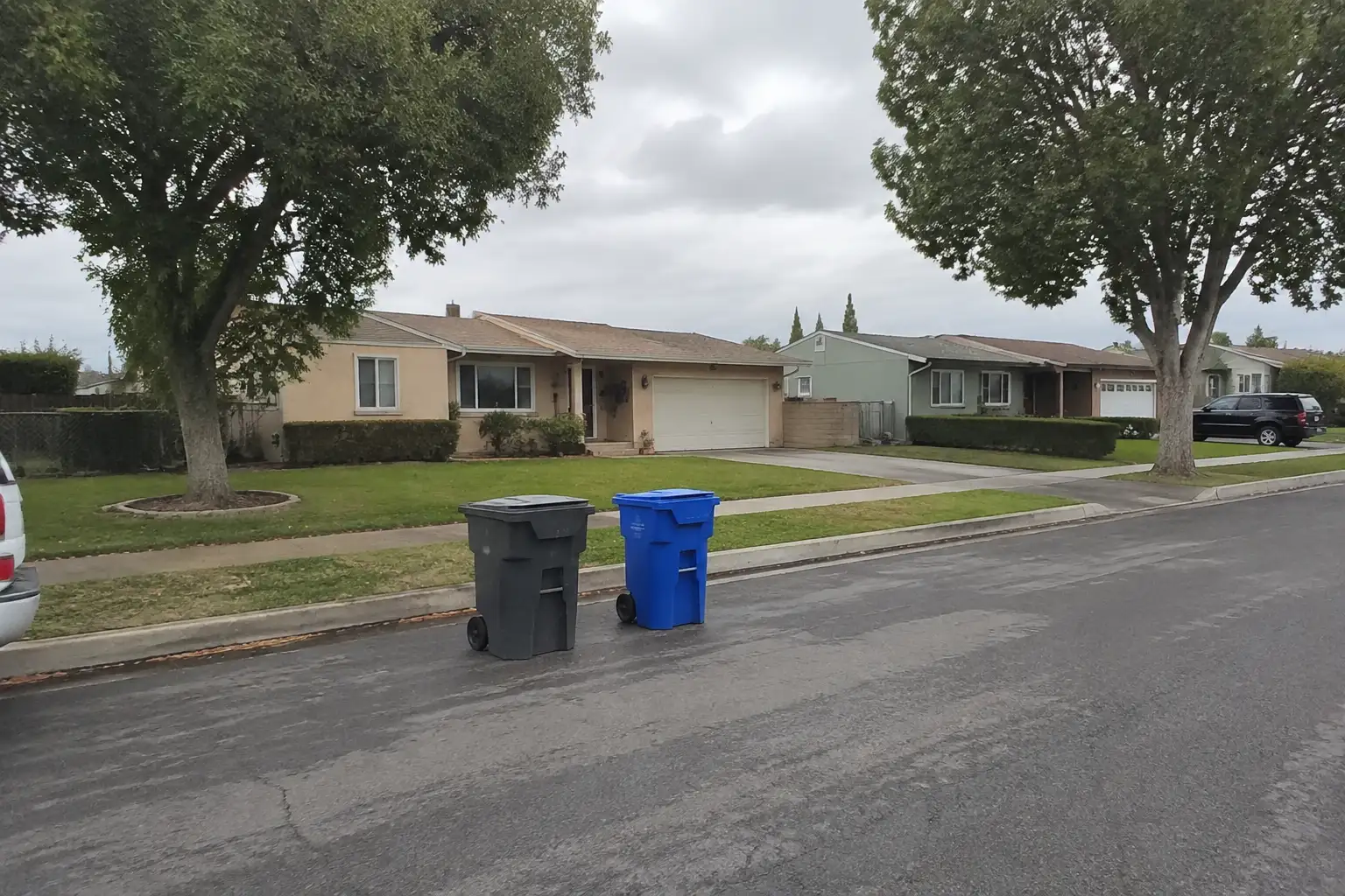
Around Montclair
The neighbourhoods, the daily rhythm and the drive to everywhere else — the part of a home search a listing sheet never covers.
See homes near here →The desk is building a real map of Montclair — outdoors, local flavor, the commute and daily errands — rather than printing a generic list.


Places from OpenStreetMap, September 10. © OpenStreetMap contributors. Distances are straight-line from the city centre, not drive times.
Where Montclair actually breaks down, in the desk's own words.
Full neighbourhood file →The city's transit-oriented downtown core near the Montclair Transcenter, rezoned under a form-based code into Town Center, Corridor Residential, and Neighborhood Residential districts.
The regional shopping district built around Montclair Place, which opened in 1968 as San Bernardino County's first indoor mall and was developed by Ernest W.
The area west and south of the San Antonio Channel Creek, rezoned under the Arrow Highway Mixed-Use Specific Plan for new residential development alongside corridor enhancements.
The corridor along the north and south sides of Arrow Highway toward Central Avenue, planned for new mixed-use development, a public park, and greenway open space.
The original 1907 subdivision platted by developer Emil Firth and the city's name at its 1956 incorporation, before the 1958 rename forced by a U.S.
Ordinary life in Montclair, the way it actually runs — not a highlight reel.

An early walk at Hoffman Park, before the day starts properly.

An hour at Golden Girls Softball Field, between the errands that never show up on a listing sheet.

Dinner at The Taco Man, then a short drive back to whichever neighbourhood you call home.
Illustrative scenes, not photographs of the places named. Places from OpenStreetMap, © OpenStreetMap contributors, ODbL.
Real listings live in Montclair right now — not a wish list.
All Montclair listings →



Active listings, as of September 22. Photos are illustrative — not photographs of the address on the card.
Ask the Insider desk what's new, what dropped, and what's worth a look near you.