

Skip to content
Insider Realty, powered by AXEN Realty
Talk to Zarko

Around Newport Beach

Newport Beach, beyond the house.

The neighbourhoods, the daily rhythm and the drive to everywhere else — the part of a home search a listing sheet never covers.

See homes near here

This guide covers

  • Balboa Island
  • Balboa Peninsula
  • Corona del Mar
  • Newport Coast
  • Newport Heights
  • Dover Shores / Eastbluff / Big Canyon

The desk's real neighbourhood file for Newport Beach — not a citywide average.

What is actually here

The desk is building a real map of Newport Beach — outdoors, local flavor, the commute and daily errands — rather than printing a generic list.

Outdoors

  • Civic Center ParkPublic park, in town.
  • Sherman Library & GardensPublic garden, in town.
  • San Joaquin Hills Park & Lawn Bowling CenterPublic park, in town.
  • Grant Howald ParkPublic park, in town.
  • Jasmine Creek ParkPublic park, in town.
  • Begonia ParkPublic park, in town.

Wine & Local Flavor

  • Balboa WineWine shop, about 2.7 km from the city centre, straight line.

Getting Around

  • Newport Transportation CenterBus station, in town.
  • Balboa PierBus station, about 2.8 km from the city centre, straight line.
  • CA 1Highway through the area — the Pacific Coast Highway.
  • CA 55Highway through the area — the Costa Mesa Freeway.
  • John Wayne AirportAirport, about 7.3 km from the city centre, straight line.
  • CA 73 TollFreeway through the area — the San Joaquin Hills Transportation Corridor.

Food & Daily Life

  • Bristol FarmsSupermarket, in town.
  • Tommy BahamaRestaurant, in town.
  • GulfstreamRestaurant, in town.
  • CdMRestaurant, in town.
  • Rothschild'sRestaurant, in town.
  • The BungalowRestaurant, in town.

Places from OpenStreetMap, September 10. © OpenStreetMap contributors. Distances are straight-line from the city centre, not drive times.

The neighbourhoods

Where Newport Beach actually breaks down, in the desk's own words.

Full neighbourhood file →

Balboa Island

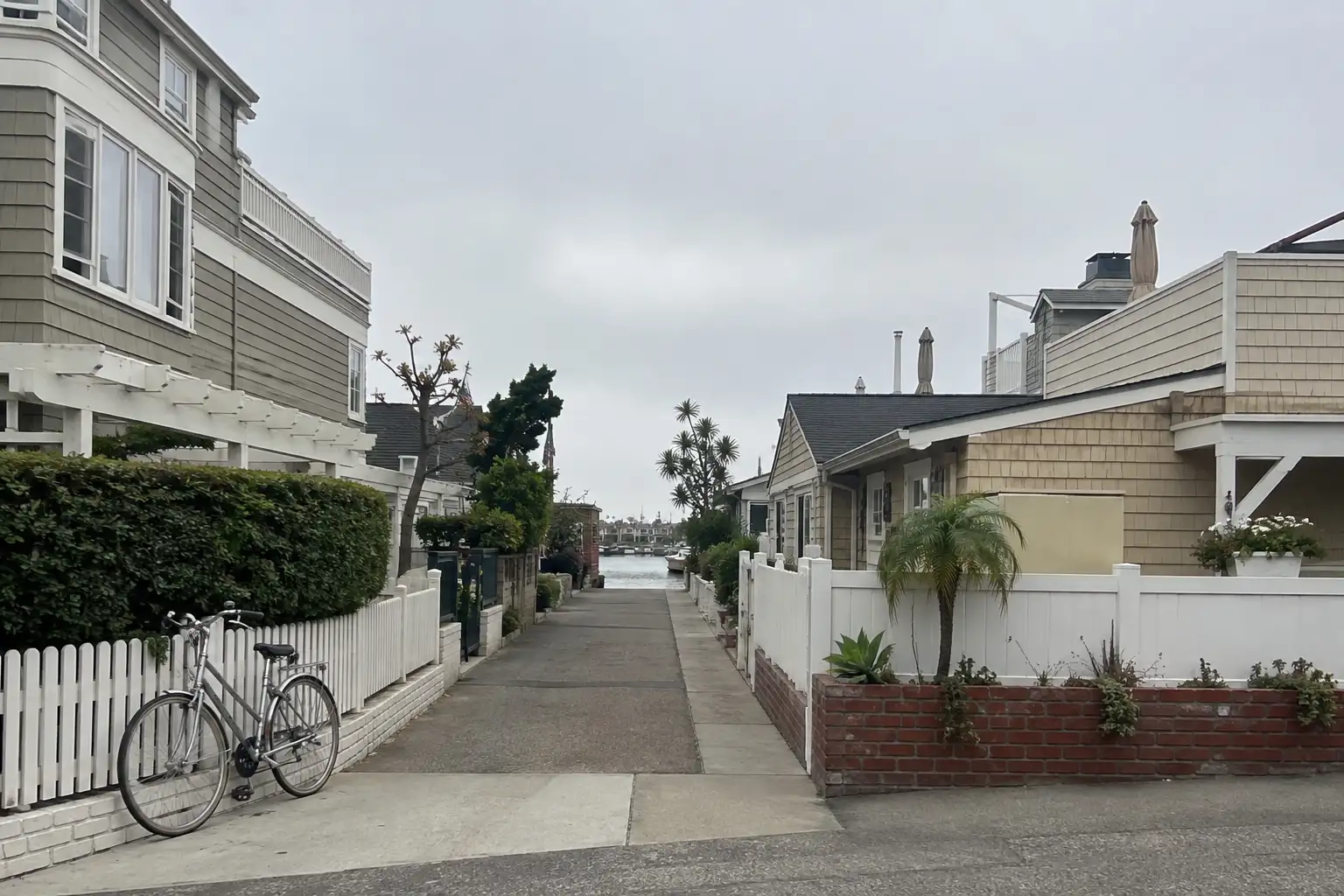
Three artificial islands in the harbor — Balboa Island, Little Balboa Island and Collins Isle — ringed by a public boardwalk, with bridge and ferry access.

Balboa Peninsula

The older oceanfront residential and commercial strip, developed from the 1900s McFadden-era wharf district.

Corona del Mar

Bluff-top coastal neighborhood carrying its own ZIP (92625), adjacent to Crystal Cove State Park.

Newport Coast

A separate community until it was annexed into the city in 2001; hillside and canyon terrain near Crystal Cove.

Newport Heights

Bounded by Pacific Coast Highway, Dover Drive, 16th Street and Newport Boulevard.

Dover Shores / Eastbluff / Big Canyon

Established residential tracts named as distinct statistical areas in the city's own municipal code.

A day around here

Ordinary life in Newport Beach, the way it actually runs — not a highlight reel.

Morning

An early walk at Sherman Library & Gardens, before the day starts properly.

Afternoon

An hour at Civic Center Park, between the errands that never show up on a listing sheet.

Evening

Dinner at Tommy Bahama, then a short drive back to whichever neighbourhood you call home.

Illustrative scenes, not photographs of the places named. Places from OpenStreetMap, © OpenStreetMap contributors, ODbL.

Homes near here

Real listings live in Newport Beach right now — not a wish list.

All Newport Beach listings →

Active listings, as of September 22. Photos are illustrative — not photographs of the address on the card.

Ready to see Newport Beach for yourself?

Ask the Insider desk what's new, what dropped, and what's worth a look near you.

Private request. No recurring email is sent automatically.





