


Outdoors
- Fruitvale Bridge ParkPublic park, in town.
- Fruitvale PlazaPublic park, in town.
- Lazear Mini ParkPublic park, in town.
- César Chávez Mini ParkPublic park, in town.
- Josie de la Cruz ParkPublic park, in town.
- Rose GardenPublic garden, in town.


Navigation
 Buy
 Photo unavailable9873 Macarthur Boulevard F-$70,000Listing brokerageBorn Real Estate, Inc.
 Photo unavailable3042 Eastman Ave-$1,000Listing brokerageCompass
 Sell
 Photo unavailable3768 Harrison St 307PendingListing brokerageRedfin
 Photo unavailable978 63rd STPendingListing brokerageVanguard Properties
 InvestPhoto unavailable9873 Macarthur Boulevard F-$70,000Listing brokerageBorn Real Estate, Inc.Photo unavailable3042 Eastman Ave-$1,000Listing brokerageCompass
 Inspector’s Eye
 Vault
 Learn
 Blog
 AboutTalk to Zarko
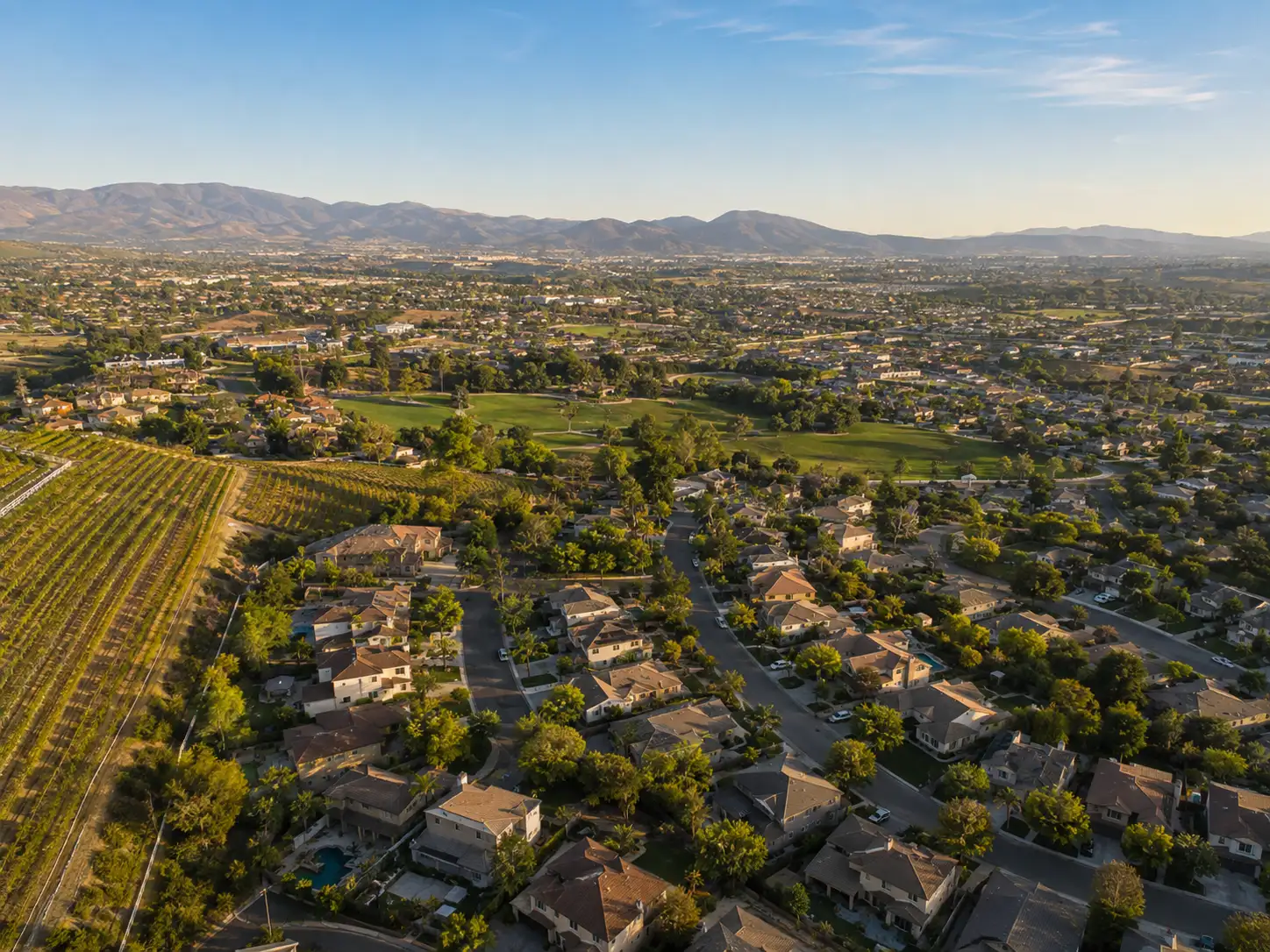
Around Oakland
The neighbourhoods, the daily rhythm and the drive to everywhere else — the part of a home search a listing sheet never covers.
See homes near here →The desk is building a real map of Oakland — outdoors, local flavor, the commute and daily errands — rather than printing a generic list.


Places from OpenStreetMap, November 3. © OpenStreetMap contributors. Distances are straight-line from the city centre, not drive times.
Where Oakland actually breaks down, in the desk's own words.
Full neighbourhood file →The West Oakland Specific Plan places Oak Center generally between 10th and 18th Streets and between Mandela Parkway and I-980, and calls it the center of West Oakland.
The plan says Acorn is centered along 7th Street between Mandela Parkway and I-980, which separates it from downtown Oakland.
The plan places Prescott and South Prescott in the southwest of West Oakland, nearest the Port, the West Oakland BART station and the Union Pacific tracks, with homes centered between Mandela Parkway on the east and industrial uses to the north and west.
Ordinary life in Oakland, the way it actually runs — not a highlight reel.
Coffee at Powderface, then whatever the day actually needs.
An hour at Fruitvale Bridge Park, between the errands that never show up on a listing sheet.
Dinner at Hashi Gawa, then a short drive back to whichever neighbourhood you call home.
Illustrative scenes, not photographs of the places named. Places from OpenStreetMap, © OpenStreetMap contributors, ODbL.
Real listings live in Oakland right now — not a wish list.
All Oakland listings →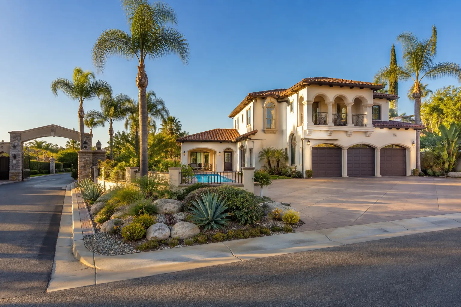
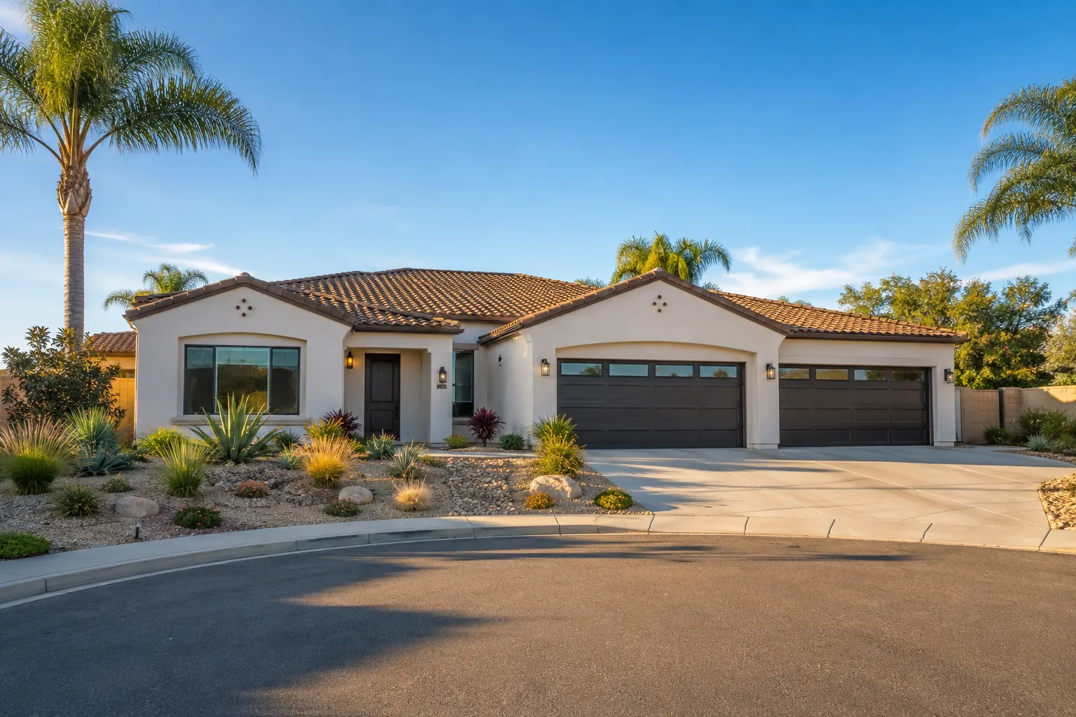
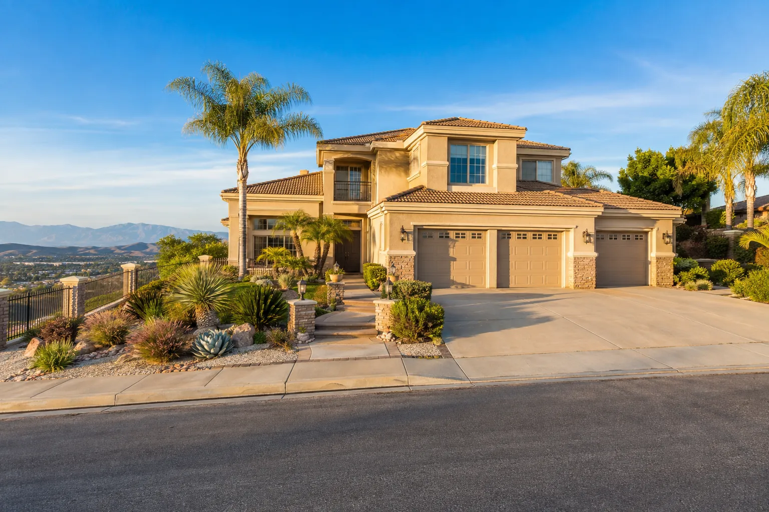
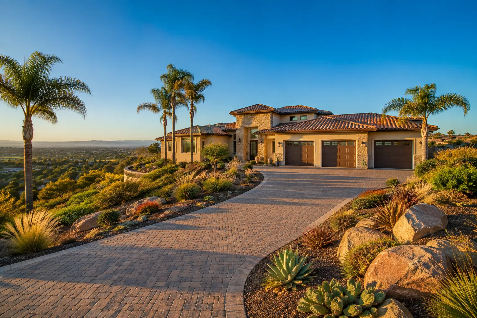
Active listings, as of November 8. Photos are illustrative — not photographs of the address on the card.
Ask the Insider desk what's new, what dropped, and what's worth a look near you.