


Outdoors
- Rotary ParkPublic park, in town.
- Pacific Street Linear ParkPublic park, in town.
- Tyson Street ParkPublic park, in town.
- Balderama ParkPublic park, in town.
- Recreation ParkPublic park, in town.
- Snowy Plover EnclosureNature reserve, in town.

Navigation
 Buy
Buy Photo unavailable1727 Avenida Vista Labera-$10,000Listing brokerageHoward West Coast Realty
 Photo unavailable355 N Cleveland St 211-$50,900Listing brokerageClinton McKinnon, Broker
 Sell
Sell Photo unavailable5062 DassiaComing SoonListing brokerageJ & S Realty
 Photo unavailable3433 Los Mochis wayBack on marketListing brokerageCentury Homes
 InvestPhoto unavailable1727 Avenida Vista Labera-$10,000Listing brokerageHoward West Coast RealtyPhoto unavailable355 N Cleveland St 211-$50,900Listing brokerageClinton McKinnon, Broker
 Inspector’s Eye
 Vault
Vault Learn
Learn AboutTalk to Zarko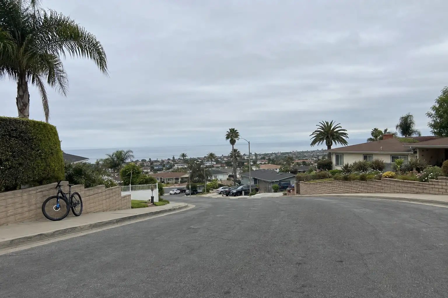
Around Oceanside
The neighbourhoods, the daily rhythm and the drive to everywhere else — the part of a home search a listing sheet never covers.
See homes near here →The desk is building a real map of Oceanside — outdoors, local flavor, the commute and daily errands — rather than printing a generic list.


Places from OpenStreetMap, September 10. © OpenStreetMap contributors. Distances are straight-line from the city centre, not drive times.
Where Oceanside actually breaks down, in the desk's own words.
Full neighbourhood file →Walkable coastal core near the pier and harbor, older housing stock.
Established hillside neighborhood with ocean-view lots.
Newer inland community near Camp Pendleton's edge, standard HOA and predictable layouts.
Ordinary life in Oceanside, the way it actually runs — not a highlight reel.

Coffee at Dino's, then whatever the day actually needs.

An hour at Rotary Park, between the errands that never show up on a listing sheet.

Dinner at The LAB Collaborative, then a short drive back to whichever neighbourhood you call home.
Illustrative scenes, not photographs of the places named. Places from OpenStreetMap, © OpenStreetMap contributors, ODbL.
Real listings live in Oceanside right now — not a wish list.
All Oceanside listings →



Active listings, as of September 22. Photos are illustrative — not photographs of the address on the card.
Ask the Insider desk what's new, what dropped, and what's worth a look near you.