

Skip to content
Insider Realty, powered by AXEN Realty
Talk to Zarko

Around Palmdale

Palmdale, beyond the house.

The neighbourhoods, the daily rhythm and the drive to everywhere else — the part of a home search a listing sheet never covers.

See homes near here

This guide covers

  • Rancho Vista
  • Desert View Highlands
  • The Highlands
  • Anaverde

The desk's real neighbourhood file for Palmdale — not a citywide average.

What is actually here

The desk is building a real map of Palmdale — outdoors, local flavor, the commute and daily errands — rather than printing a generic list.

Outdoors

  • Courson ParkPublic park, in town.
  • Poncitlán SquarePublic park, in town.
  • Doctor Robert C Saint Clair ParkwayPublic park, about 1.6 km from the city centre, straight line.
  • McAdam ParkPublic park, about 2.2 km from the city centre, straight line.
  • Avenue S ParkPublic park, about 2.6 km from the city centre, straight line.
  • Desert Sands ParkPublic park, about 2.8 km from the city centre, straight line.

Wine & Local Flavor

  • Antelope Valley WineryWinery, about 9.5 km from the city centre, straight line.

Getting Around

  • PalmdaleRail station, about 2.0 km from the city centre, straight line.

  • CR N2Highway through the area — the West Palmdale Boulevard.
  • US 6 HistHighway through the area — the Sierra Highway.
  • USAF Plant 42 / Palmdale Regional AirportAirport, about 5.2 km from the city centre, straight line.

  • CA 138Highway through the area — the East Palmdale Boulevard.
  • CA 14Freeway through the area — the Antelope Valley Freeway.

Food & Daily Life

  • Super GrocersSupermarket, in town.
  • Las Islas Marias MariscosRestaurant, in town.
  • Palmdale International Shopping MallMarket, about 1.6 km from the city centre, straight line.

  • VallartaSupermarket, about 2.0 km from the city centre, straight line.

  • Jasmine ThaiRestaurant, about 2.1 km from the city centre, straight line.

  • El CarboneroRestaurant, about 2.4 km from the city centre, straight line.

Places from OpenStreetMap, September 10. © OpenStreetMap contributors. Distances are straight-line from the city centre, not drive times.

The neighbourhoods

Where Palmdale actually breaks down, in the desk's own words.

Full neighbourhood file →

Rancho Vista

A 1970s-90s golf-adjacent community with some newer infill.

Desert View Highlands

A hillside tract on Palmdale's western edge, closer to the San Gabriel foothills than the valley floor.

The Highlands

Adjacent to Desert View Highlands on the city's northwest edge, with similar hillside terrain and the same fire-interface considerations.

Anaverde

A 2000s master-planned community on Palmdale's west side with its own HOA and CFD layer.

A day around here

Ordinary life in Palmdale, the way it actually runs — not a highlight reel.

Morning

An early walk at Courson Park, before the day starts properly.

Afternoon

An hour at Poncitlán Square, between the errands that never show up on a listing sheet.

Evening

Dinner at Las Islas Marias Mariscos, then a short drive back to whichever neighbourhood you call home.

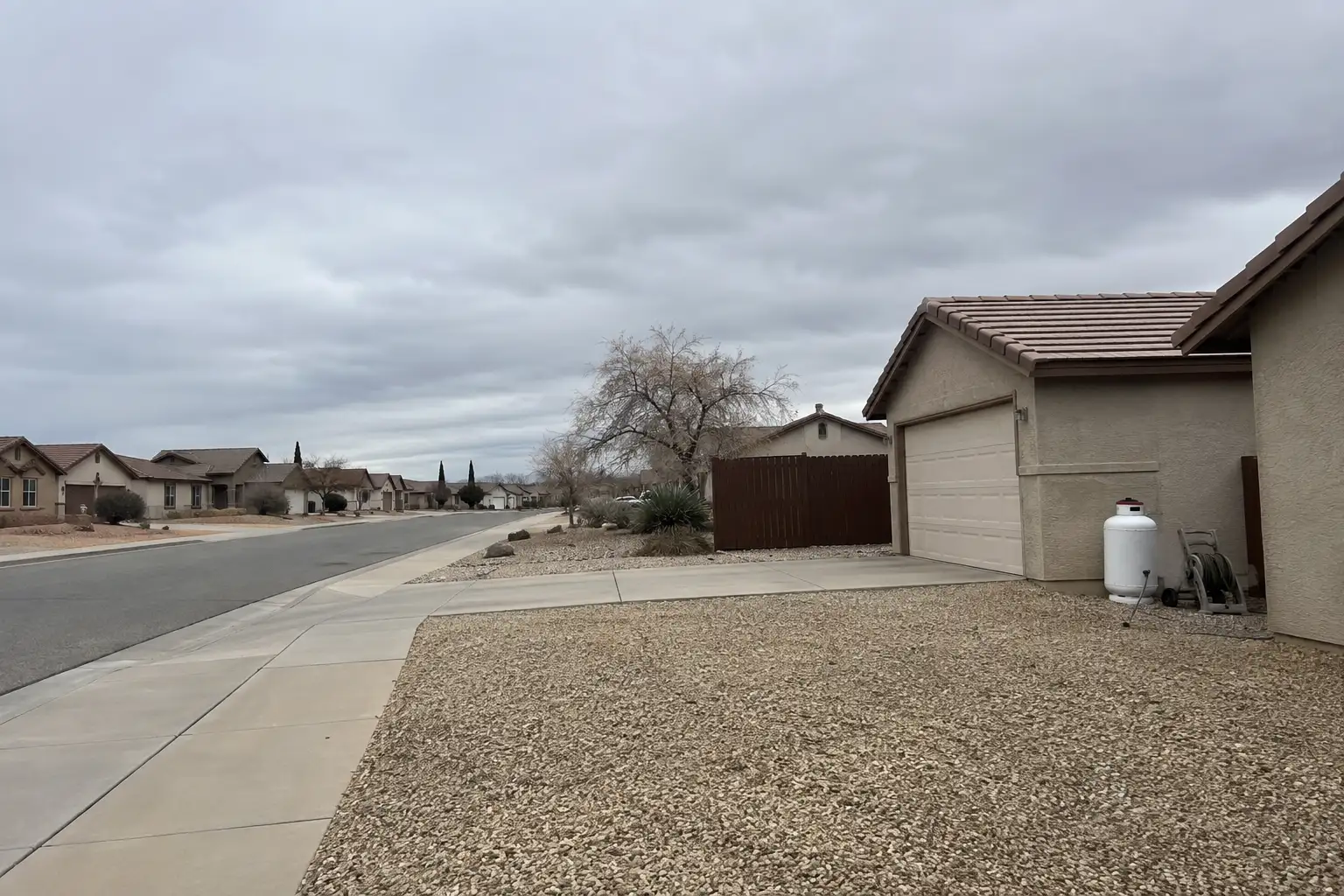
Illustrative scenes, not photographs of the places named. Places from OpenStreetMap, © OpenStreetMap contributors, ODbL.

Homes near here

Real listings live in Palmdale right now — not a wish list.

All Palmdale listings →

Active listings, as of September 22. Photos are illustrative — not photographs of the address on the card.

Ready to see Palmdale for yourself?

Ask the Insider desk what's new, what dropped, and what's worth a look near you.

Private request. No recurring email is sent automatically.