

Skip to content
Insider Realty, powered by AXEN Realty
Talk to Zarko

Around Pico Rivera

Pico Rivera, beyond the house.

The neighbourhoods, the daily rhythm and the drive to everywhere else — the part of a home search a listing sheet never covers.

See homes near here

This guide covers

  • Pico (north)
  • Rivera (south)
  • Pico Rivera Towne Center (former Ford / Northrop B-2 site)
  • Whittier Boulevard corridor
  • Montebello Gardens
  • Rio Hondo / San Gabriel River Parkway

The desk's real neighbourhood file for Pico Rivera — not a citywide average.

What is actually here

The desk is building a real map of Pico Rivera — outdoors, local flavor, the commute and daily errands — rather than printing a generic list.

Outdoors

  • Smith ParkPublic park, in town.
  • Pío Pico State Historic ParkPublic park, about 2.0 km from the city centre, straight line.
  • Rivera ParkPublic park, about 2.3 km from the city centre, straight line.
  • Guirado ParkPublic park, about 2.6 km from the city centre, straight line.
  • Amigo ParkPublic park, about 2.6 km from the city centre, straight line.

  • Sorensen ParkPublic park, about 2.6 km from the city centre, straight line.

Wine & Local Flavor

The desk hasn't surveyed wine & local flavor around Pico Rivera yet — this card fills in as soon as it has, real names only.

Getting Around

  • Montebello/CommerceRail station, about 4.4 km from the city centre, straight line.

  • CommerceRail station, about 5.2 km from the city centre, straight line.

  • Downey Depot Transportation CenterBus station, about 6.4 km from the city centre, straight line.

  • CA 60Freeway through the area — the Pomona Freeway.
  • NorwalkRail station, about 7.8 km from the city centre, straight line.

  • Norwalk/Santa Fe SpringsRail station, about 7.8 km from the city centre, straight line.

Food & Daily Life

  • Dal-RaeRestaurant, in town.
  • SizzlerRestaurant, in town.
  • El RodeoRestaurant, in town.
  • Hong Kong ExpressRestaurant, in town.
  • Tierra Mia CoffeeCafe, about 1.8 km from the city centre, straight line.
  • Food 4 LessSupermarket, about 2.1 km from the city centre, straight line.

Places from OpenStreetMap, September 10. © OpenStreetMap contributors. Distances are straight-line from the city centre, not drive times.

The neighbourhoods

Where Pico Rivera actually breaks down, in the desk's own words.

Full neighbourhood file →

Pico (north)

The northern half of the merged city, named for Pío Pico and centered on the old Jimtown area; the Los Angeles and Salt Lake Railroad (later Union Pacific) ran through here by the late 1890s, and local children fed into Pico School before Whittier Union High School.

Rivera (south)

The southern half of the merged city, Spanish for "riverbank"; the Atchison, Topeka and Santa Fe Railway reached Rivera by the late 19th century and the Pacific Electric Whittier Line arrived in 1902, with the Los Nietos Townsite Company selling off former Rancho Paso de Bartolo land here starting in 1887.

Pico Rivera Towne Center (former Ford / Northrop B-2 site)

A 60-acre open-air shopping complex built on the former 157-acre Ford Los Angeles Assembly plant, later used by Northrop Grumman from 1982 to 2001 to develop the B-2 Spirit stealth bomber under a classified black-project program employing roughly 13,000 workers at its height.

Whittier Boulevard corridor

The city's historic commercial spine has seen significant redevelopment in recent years, including the $22 million Pico Rivera Village Walk at the southwest corner of Whittier and Paramount boulevards.

Montebello Gardens

A section of the city zoned into the Montebello Unified School District rather than the El Rancho Unified School District that serves most of Pico Rivera, reflecting the area's historic ties to neighboring Montebello.

Rio Hondo / San Gabriel River Parkway

The alluvial plain between the Rio Hondo and San Gabriel River that gives the city its name and its low, flat terrain; the San Gabriel River Freeway (I-605) runs along the southeastern edge, and the city sits directly below the Whittier Narrows flood-control gap that classifies it as one of the county's Gateway Cities.

A day around here

Ordinary life in Pico Rivera, the way it actually runs — not a highlight reel.

Morning

Coffee at Tierra Mia Coffee, then whatever the day actually needs.

Afternoon

An hour at Smith Park, between the errands that never show up on a listing sheet.

Evening

Dinner at Dal-Rae, then a short drive back to whichever neighbourhood you call home.

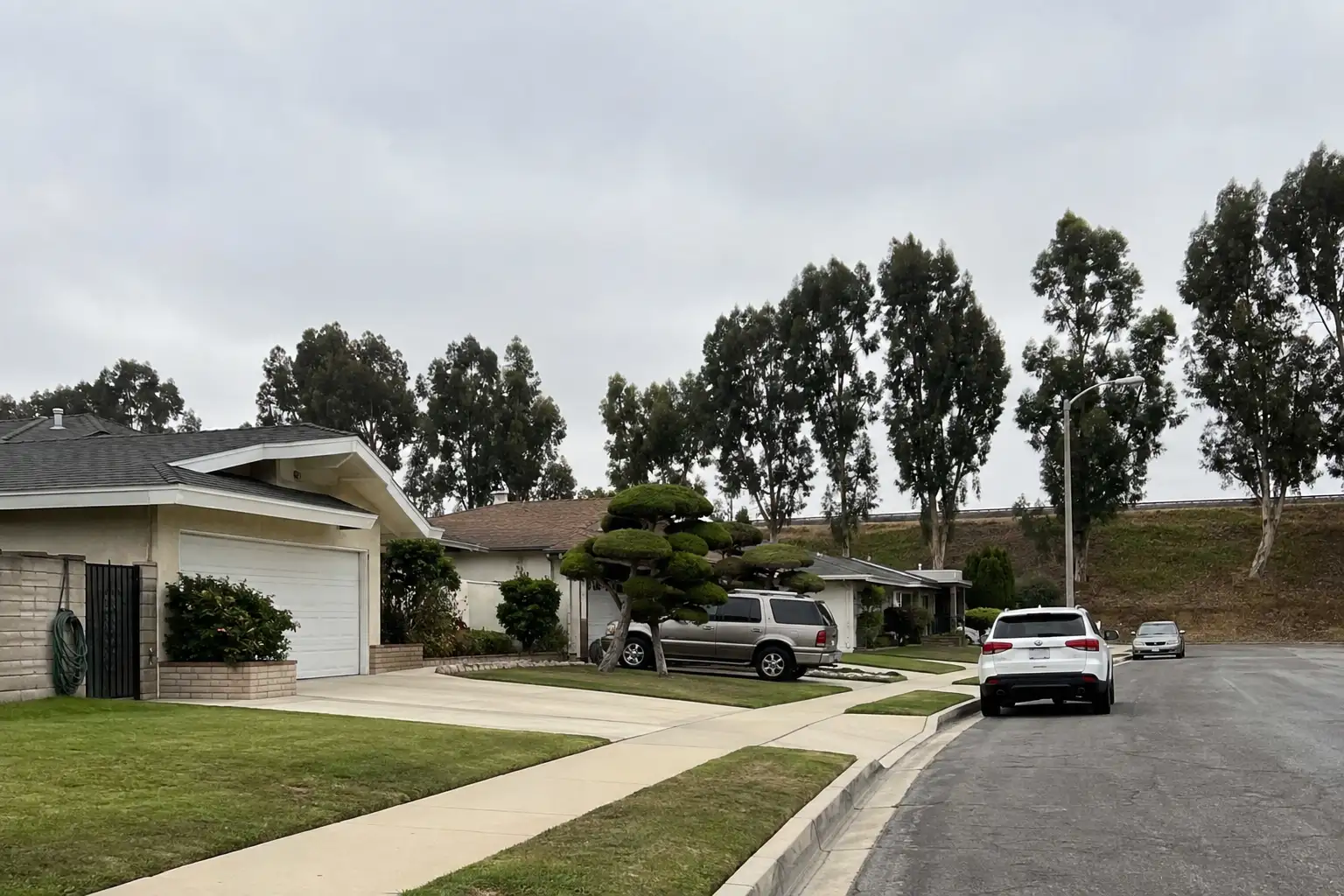
Illustrative scenes, not photographs of the places named. Places from OpenStreetMap, © OpenStreetMap contributors, ODbL.

Homes near here

Real listings live in Pico Rivera right now — not a wish list.

All Pico Rivera listings →

Active listings, as of September 22. Photos are illustrative — not photographs of the address on the card.

Ready to see Pico Rivera for yourself?

Ask the Insider desk what's new, what dropped, and what's worth a look near you.

Private request. No recurring email is sent automatically.