

Skip to content
Insider Realty, powered by AXEN Realty
Talk to Zarko

Around Rowland Heights

Rowland Heights, beyond the house.

The neighbourhoods, the daily rhythm and the drive to everywhere else — the part of a home search a listing sheet never covers.

See homes near here

This guide covers

  • Colima Road / Nogales Street business district
  • Rowland Homestead area
  • Schabarum Park area
  • Fullerton Road corridor
  • Pathfinder Road hillside tracts
  • East Rowland Heights (Rancho Rincón de la Brea)

The desk's real neighbourhood file for Rowland Heights — not a citywide average.

What is actually here

The desk is building a real map of Rowland Heights — outdoors, local flavor, the commute and daily errands — rather than printing a generic list.

Outdoors

  • Carolyn Rosas ParkPublic park, in town.
  • Rowland Heights ParkPublic park, about 1.7 km from the city centre, straight line.
  • Pathfinder ParkPublic park, about 2.3 km from the city centre, straight line.
  • Gloria Heer ParkPublic park, about 2.4 km from the city centre, straight line.
  • Pathfinder Community Regional ParkPublic park, about 2.5 km from the city centre, straight line.

  • Trailview ParkPublic park, about 3.0 km from the city centre, straight line.

Wine & Local Flavor

The desk hasn't surveyed wine & local flavor around Rowland Heights yet — this card fills in as soon as it has, real names only.

Getting Around

  • CA 60Freeway through the area — the Pomona Freeway.
  • CA 60 ALTFreeway through the area.
  • IndustryRail station, about 5.3 km from the city centre, straight line.

  • CA 57 EXPRFreeway through the area.
  • CA 90Highway through the area — the East Imperial Highway.
  • I 10Freeway through the area — the San Bernardino Freeway.

Food & Daily Life

  • Duo-PotRestaurant, about 1.9 km from the city centre, straight line.

  • Tofu KingRestaurant, about 1.9 km from the city centre, straight line.

  • Stater Bros. MarketsSupermarket, about 1.9 km from the city centre, straight line.

  • 168 MarketSupermarket, about 2.0 km from the city centre, straight line.
  • Eat Joy FoodRestaurant, about 2.0 km from the city centre, straight line.
  • Colima BurgersRestaurant, about 2.1 km from the city centre, straight line.

Places from OpenStreetMap, September 10. © OpenStreetMap contributors. Distances are straight-line from the city centre, not drive times.

The neighbourhoods

Where Rowland Heights actually breaks down, in the desk's own words.

Full neighbourhood file →

Colima Road / Nogales Street business district

The community's commercial spine, lined with Asian supermarkets, strip-mall restaurants, and import businesses that grew alongside the 1990s wave of Taiwanese and mainland Chinese settlement that gave the area its "Little Taipei" nickname.

Rowland Homestead area

Built over what was originally a working pig farm and orange groves on the Rowland family's own share of Rancho La Puente; the family still owns and leases part of the property near Gale Avenue and Nogales Street, behind today's 99 Ranch Market.

Schabarum Park area

The hillside tract surrounding Peter F.

Fullerton Road corridor

A north-south commercial and residential corridor that became one of the region's busiest streets after Harbor Boulevard opened a direct 1992 connection to northern Orange County and the city of La Habra.

Pathfinder Road hillside tracts

Later-built hillside residential tracts along Pathfinder Road toward the Diamond Bar border, briefly the 2012 parking spot for the 340-ton Levitated Mass granite boulder on its journey to LACMA.

East Rowland Heights (Rancho Rincón de la Brea)

The section between Nogales Street and Brea Canyon Road that falls within the separate Rancho Rincón de la Brea land grant rather than Rancho La Puente, bordering La Habra Heights and Brea to the south.

A day around here

Ordinary life in Rowland Heights, the way it actually runs — not a highlight reel.

Morning

An early walk at Carolyn Rosas Park, before the day starts properly.

Afternoon

An hour at Rowland Heights Park, between the errands that never show up on a listing sheet.

Evening

Dinner at Duo-Pot, then a short drive back to whichever neighbourhood you call home.

Illustrative scenes, not photographs of the places named. Places from OpenStreetMap, © OpenStreetMap contributors, ODbL.

Homes near here

Real listings live in Rowland Heights right now — not a wish list.

All Rowland Heights listings →

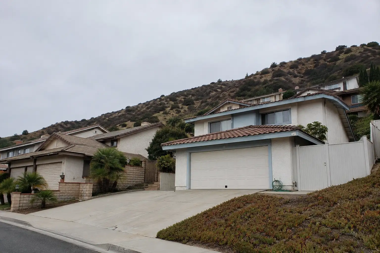
Active listings, as of September 22. Photos are illustrative — not photographs of the address on the card.

Ready to see Rowland Heights for yourself?

Ask the Insider desk what's new, what dropped, and what's worth a look near you.

Private request. No recurring email is sent automatically.