


Outdoors
- Civic Center ParkPublic park, in town.
- Freedom ParkPublic park, in town.
- Marchant ParkPublic park, in town.
- Rhoads ParkPublic park, in town.
- Pioneer ParkPublic park, in town.
- Kiwanis KornerPublic park, in town.

Navigation
 Buy
Buy Photo unavailable607 Santa Cruz Court-$11,000Listing brokerageThe Boutique Real Estate Group
 Photo unavailable1939 Fernridge-$50,000Listing brokerageREAL BROKERAGE TECHNOLOGIES
 Sell
Sell Photo unavailable508 N San DimasComing SoonListing brokerageColdwell Banker Realty
 Photo unavailable1245 W Cienega Ave 125SoldListing brokerageLocal Professional Realty
 InvestPhoto unavailable607 Santa Cruz Court-$11,000Listing brokerageThe Boutique Real Estate GroupPhoto unavailable1939 Fernridge-$50,000Listing brokerageREAL BROKERAGE TECHNOLOGIES
 Inspector’s Eye
 Vault
Vault Learn
Learn AboutTalk to Zarko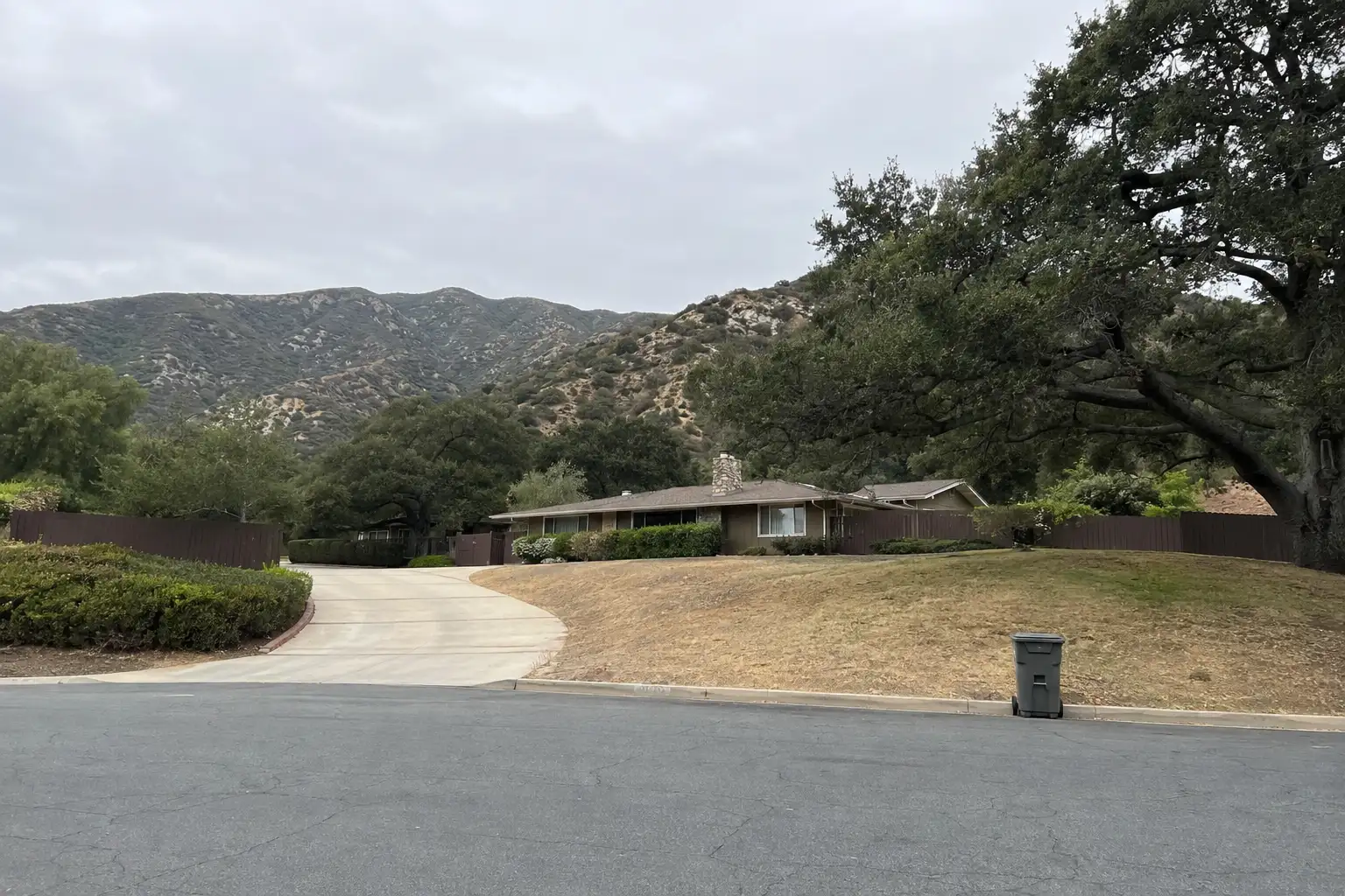
Around San Dimas
The neighbourhoods, the daily rhythm and the drive to everywhere else — the part of a home search a listing sheet never covers.
See homes near here →The desk is building a real map of San Dimas — outdoors, local flavor, the commute and daily errands — rather than printing a generic list.


Places from OpenStreetMap, September 10. © OpenStreetMap contributors. Distances are straight-line from the city centre, not drive times.
Where San Dimas actually breaks down, in the desk's own words.
Full neighbourhood file →The Bonita Avenue and San Dimas Avenue commercial core, rebuilt in the 1970s in a deliberate Western-village style with wooden storefronts; it hosts the city's annual Western Days and Rodeo, a tradition that once included the Miss Rodeo California pageant.
A hillside neighborhood on the city's south side built around the Via Verde Country Club, with winding streets, larger lots, and views back across the San Gabriel Valley.
A roughly 0.33-square-mile unincorporated enclave inside San Dimas's own boundaries, where Covina is the USPS-listed city name for home addresses even though the area is not part of Covina; it hosts the U.S.
The southern edge of the city bordering Frank G.
The foothill area at the mouth of San Dimas Canyon, the namesake landform for the city itself, where Cinnamon Creek runs roughly parallel to Arrow Highway before reaching Cinnamon Falls near San Dimas Avenue.
Land once worked by Ygnacio Palomares and Ricardo Vejar under their 1837 Rancho San José grant, now the city's more recently built residential corridor along San Dimas Avenue and Cienega Avenue.
Ordinary life in San Dimas, the way it actually runs — not a highlight reel.

Coffee at Butter Bakery and Cafe, then whatever the day actually needs.

An hour at Civic Center Park, between the errands that never show up on a listing sheet.

Dinner at Kahu Hawaiian BBQ, then a short drive back to whichever neighbourhood you call home.
Illustrative scenes, not photographs of the places named. Places from OpenStreetMap, © OpenStreetMap contributors, ODbL.
Real listings live in San Dimas right now — not a wish list.
All San Dimas listings →



Active listings, as of September 22. Photos are illustrative — not photographs of the address on the card.
Ask the Insider desk what's new, what dropped, and what's worth a look near you.