

Skip to content
Insider Realty, powered by AXEN Realty
Talk to Zarko

Around San Fernando

San Fernando, beyond the house.

The neighbourhoods, the daily rhythm and the drive to everywhere else — the part of a home search a listing sheet never covers.

See homes near here

This guide covers

  • Downtown / San Fernando Mall
  • López Adobe District
  • Huntington Estates
  • Las Palmas
  • Truman Street Corridor

The desk's real neighbourhood file for San Fernando — not a citywide average.

What is actually here

The desk is building a real map of San Fernando — outdoors, local flavor, the commute and daily errands — rather than printing a generic list.

Outdoors

  • Senator Tom Carrell Memorial CourtPublic park, in town.
  • El Paseo de San FernandoPublic park, in town.
  • Casa de LópezPublic park, in town.
  • César Estrada Chávez Memorial ParkPublic park, in town.
  • San Fernando Recreation ParkPublic park, in town.
  • Layne ParkPublic park, in town.

Wine & Local Flavor

The desk hasn't surveyed wine & local flavor around San Fernando yet — this card fills in as soon as it has, real names only.

Getting Around

  • Sylmar/San FernandoRail station, in town.
  • GreyhoundBus station, in town.
  • Santiago Express - PacoimaBus station, about 2.8 km from the city centre, straight line.
  • I 405 TruckFreeway through the area.
  • I 5Freeway through the area — the Golden State Freeway.
  • I 5 TruckFreeway through the area.

Food & Daily Life

  • U CraveRestaurant, in town.
  • Lola's KitchenRestaurant, in town.
  • Maggie's TamalesRestaurant, in town.
  • HanzoRestaurant, in town.
  • Teriyaki HouseRestaurant, in town.
  • Alicia's BirrieríaRestaurant, in town.

Places from OpenStreetMap, September 10. © OpenStreetMap contributors. Distances are straight-line from the city centre, not drive times.

The neighbourhoods

Where San Fernando actually breaks down, in the desk's own words.

Full neighbourhood file →

Downtown / San Fernando Mall

A roughly 60-block, 185-acre historic core centered on San Fernando Road and Maclay Avenue, built up after the Southern Pacific Railroad arrived and San Fernando became the San Fernando Valley's first incorporated city in 1911.

López Adobe District

Centered on Valentin López's 1882-83 two-story adobe at Maclay Avenue and Pico Street, one of the two oldest private residences in the San Fernando Valley and the site of the valley's first general store and English-language school; listed on the National Register of Historic Places in 1971.

Huntington Estates

One of the city's best-kept residential pockets, laid out along Huntington Street, which was named in 1874 to honor railroad magnate Collis Potter Huntington.

Las Palmas

A neighborhood park district anchored by Las Palmas Park at 505 South Huntington Street, one of several small neighborhood parks the city's Recreation and Community Services Department maintains alongside Layne, Pioneer, and Rudy Ortega Sr.

Truman Street Corridor

A small industrial and packing pocket near Truman Street and Maclay Avenue that has held commercial buildings, including a packing house, since around 1900, reflecting the city's early citrus- and produce-shipping economy.

A day around here

Ordinary life in San Fernando, the way it actually runs — not a highlight reel.

Morning

An early walk at Senator Tom Carrell Memorial Court, before the day starts properly.

Afternoon

An hour at El Paseo de San Fernando, between the errands that never show up on a listing sheet.

Evening

Dinner at U Crave, then a short drive back to whichever neighbourhood you call home.

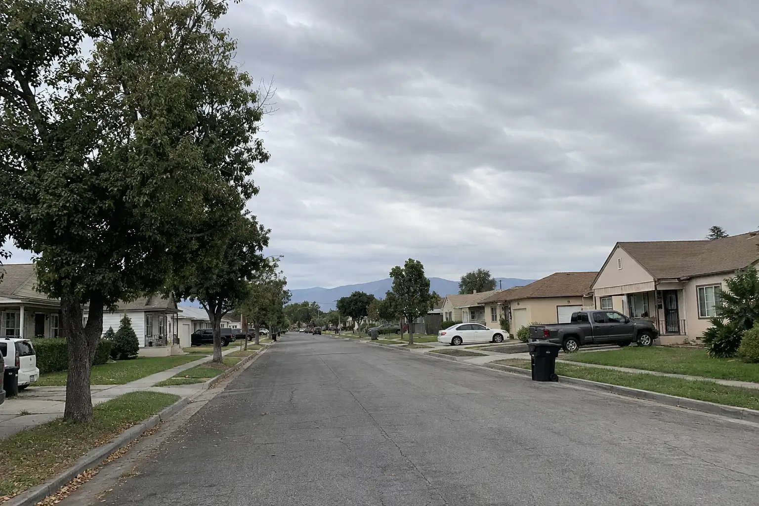
Illustrative scenes, not photographs of the places named. Places from OpenStreetMap, © OpenStreetMap contributors, ODbL.

Ready to see San Fernando for yourself?

Ask the Insider desk what's new, what dropped, and what's worth a look near you.

Private request. No recurring email is sent automatically.


