


Outdoors
- Veterans Memorial ParkPublic park, in town.
- Moreton Bay Fig Tree ParkPublic park, in town.
- Railroad Plaza ParkPublic park, in town.
- Ebell ParkPublic park, in town.
- Harding ParkPublic park, in town.
- Las Piedras ParkPublic park, in town.

Navigation
 Buy
Buy Photo unavailable1000 Cadway Street-$40,000Listing brokerageExpert's Of Real Estate
 Photo unavailable129 S Olive Street-$20,000Listing brokerageCentury 21 Masters
 Sell
Sell Photo unavailable346 Tirre CourtComing SoonListing brokerageeXp Realty of California Inc
 Photo unavailable905 917 Corporation StreetSoldListing brokerageRE/MAX Gold Coast-Beach Marina Office
 InvestPhoto unavailable1000 Cadway Street-$40,000Listing brokerageExpert's Of Real EstatePhoto unavailable129 S Olive Street-$20,000Listing brokerageCentury 21 Masters
 Inspector’s Eye
 Vault
Vault Learn
Learn AboutTalk to Zarko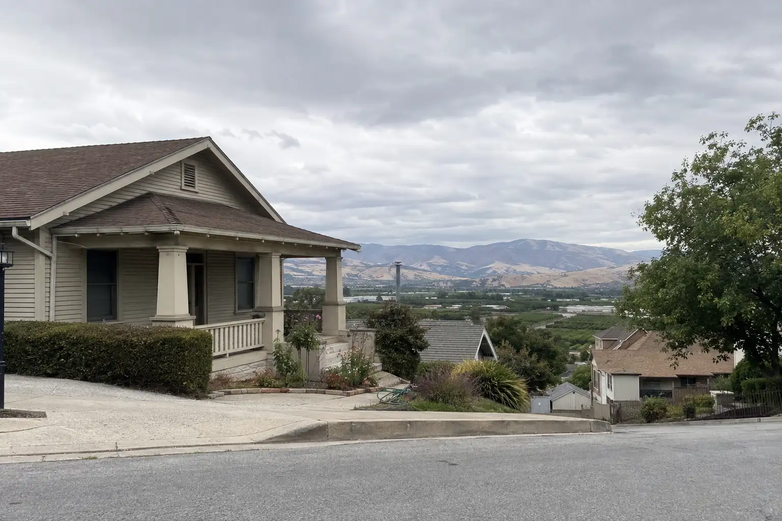
Around Santa Paula
The neighbourhoods, the daily rhythm and the drive to everywhere else — the part of a home search a listing sheet never covers.
See homes near here →The desk is building a real map of Santa Paula — outdoors, local flavor, the commute and daily errands — rather than printing a generic list.


Places from OpenStreetMap, September 10. © OpenStreetMap contributors. Distances are straight-line from the city centre, not drive times.
Where Santa Paula actually breaks down, in the desk's own words.
Full neighbourhood file →A six-block core around Main Street holds the 1890 Union Oil Company Building, now the California Oil Museum, and the 1911 Glen Tavern Inn, a Tudor-Craftsman hotel funded by twenty-five local businessmen and listed on the National Register of Historic Places in 1984.
Santa Paula's first subdivision, laid out in 1920 on winding, sloped streets and named for the McKevett family — Alice Stowell McKevett donated the land that became Ebell Park nearby.
An established neighborhood of more than 200 homes dating to the 1940s, known locally for mature shade trees and landscaping that predates most of the city's postwar tracts.
A roughly 500-acre master-planned community on former Limoneira citrus and avocado ranchland on the city's eastern edge, approved by the city in 2015 and broken ground in 2017, building out toward a planned 1,500-plus homes alongside a school site and more than 60 acres of parks and open space.
Hillside streets on the north side of the valley, developed for their elevated sightlines over the citrus groves and the Santa Clara River below.
Ordinary life in Santa Paula, the way it actually runs — not a highlight reel.

An early walk at Veterans Memorial Park, before the day starts properly.

An hour at Moreton Bay Fig Tree Park, between the errands that never show up on a listing sheet.

Dinner at Hampton Ranch Restaurant, then a short drive back to whichever neighbourhood you call home.
Illustrative scenes, not photographs of the places named. Places from OpenStreetMap, © OpenStreetMap contributors, ODbL.
Real listings live in Santa Paula right now — not a wish list.
All Santa Paula listings →


Active listings, as of September 22. Photos are illustrative — not photographs of the address on the card.
Ask the Insider desk what's new, what dropped, and what's worth a look near you.