


Outdoors
- Fremont ParkPublic park, in town.
- North ParkPublic park, in town.
- Garden of HealingPublic garden, in town.
- Reading GardenPublic garden, in town.
- Old Courthouse SquarePublic park, in town.
- Rae ParkPublic park, in town.


Navigation
 Buy
 Photo unavailable487 Hearn Ave-$14,000Listing brokerageUnited Brokers Real Estate
 Sell
 Photo unavailable965 Doubles Dr 316Active Under ContractListing brokerageAlliance Bay Realty
 Photo unavailable711 Brigham AvenueActive Under ContractListing brokerageFiduciary Real Estate Services
 InvestPhoto unavailable487 Hearn Ave-$14,000Listing brokerageUnited Brokers Real Estate
 Inspector’s Eye
 Vault
 Learn
 Blog
 AboutTalk to Zarko
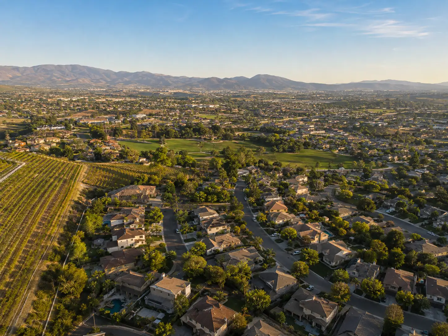
Around Santa Rosa
The neighbourhoods, the daily rhythm and the drive to everywhere else — the part of a home search a listing sheet never covers.
See homes near here →The desk is building a real map of Santa Rosa — outdoors, local flavor, the commute and daily errands — rather than printing a generic list.


Places from OpenStreetMap, November 3. © OpenStreetMap contributors. Distances are straight-line from the city centre, not drive times.
Where Santa Rosa actually breaks down, in the desk's own words.
Full neighbourhood file →The city says the City Council adopted the Roseland Area and Sebastopol Road Specific Plan in November 2016 to support a unified, vital, healthy and livable Roseland community.
The city says the City Council adopted an updated Downtown Station Area Specific Plan in October 2020 to address land use, transportation and infrastructure needs tied to more housing in the Downtown.
The city lists Fountaingrove among the neighborhoods inside the Very High Fire Hazard Severity Zone, along with Skyhawk, Bennett Valley and Oakmont, and its planning review names Fountaingrove Parkway among the arterials in the wildland urban interface where evacuation route upgrades are planned.
Ordinary life in Santa Rosa, the way it actually runs — not a highlight reel.
Coffee at SoCo Coffee, then whatever the day actually needs.
An hour at Fremont Park, between the errands that never show up on a listing sheet.
Dinner at Chelino's Mexican Restaurant, then a short drive back to whichever neighbourhood you call home.
Illustrative scenes, not photographs of the places named. Places from OpenStreetMap, © OpenStreetMap contributors, ODbL.
Real listings live in Santa Rosa right now — not a wish list.
All Santa Rosa listings →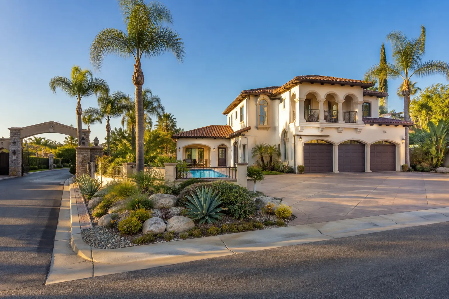
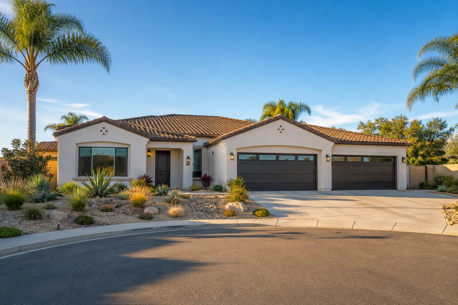
Active listings, as of November 8. Photos are illustrative — not photographs of the address on the card.
Ask the Insider desk what's new, what dropped, and what's worth a look near you.