

Skip to content
Insider Realty, powered by AXEN Realty
Talk to Zarko

Around Seal Beach

Seal Beach, beyond the house.

The neighbourhoods, the daily rhythm and the drive to everywhere else — the part of a home search a listing sheet never covers.

See homes near here

This guide covers

  • Old Town
  • Leisure World
  • College Park East
  • College Park West
  • Bridgeport
  • Surfside Colony

The desk's real neighbourhood file for Seal Beach — not a citywide average.

What is actually here

The desk is building a real map of Seal Beach — outdoors, local flavor, the commute and daily errands — rather than printing a generic list.

Outdoors

  • Eisenhower ParkPublic park, in town.
  • Marina Community ParkPublic park, in town.
  • River's End ParkPublic park, in town.
  • Alamitos ParkPublic park, in town.
  • Gum Grove ParkPublic park, in town.
  • Naples PlazaPublic park, about 2.2 km from the city centre, straight line.

Wine & Local Flavor

  • Art Du VinWine shop, about 6.6 km from the city centre, straight line.

Getting Around

  • CA 1Highway through the area — the Pacific Coast Highway.
  • I 405 EXPRFreeway through the area.
  • I 605Freeway through the area — the San Gabriel River Freeway.
  • I 405Freeway through the area — the San Diego Freeway.
  • CA 22 EastFreeway through the area — the Garden Grove Freeway.
  • CA 22Freeway through the area — the Garden Grove Freeway.

Food & Daily Life

  • Walt's WharfRestaurant, in town.
  • Avila's El RanchitoRestaurant, in town.
  • Paradis Ice CreamRestaurant, in town.
  • Nick'sCafe, in town.
  • Waki SushiRestaurant, in town.
  • Old Town CafeCafe, in town.

Places from OpenStreetMap, September 10. © OpenStreetMap contributors. Distances are straight-line from the city centre, not drive times.

The neighbourhoods

Where Seal Beach actually breaks down, in the desk's own words.

Full neighbourhood file →

Old Town

The walkable, pedestrian-oriented historic core along Main Street and the pier, bounded by the Pacific Ocean, Pacific Coast Highway, the San Gabriel River and Huntington Beach.

Leisure World

Age-restricted retirement community built by Ross Cortese starting in 1957, home to nearly a third of the city's residents.

College Park East

Built 1967-1972 by S&S Homes on former Bixby Rancho land, with streets named after universities like Purdue, Tulane and Stanford; originally single-story ranch homes, later two-story models were added.

College Park West

Located northwest of Leisure World and northeast of Old Town and the Hill; a suburban tract distinct from College Park East on the other side of the city.

Bridgeport

Small neighborhood just south of Pacific Coast Highway, west of 5th Street and north of Marina Drive, within blocks of the beach and the marina.

Surfside Colony

Gated colony begun in 1929 as an oceanside resort, incorporated with the state in 1930; about 256 homes in three rows lettered A, B and C, none more than 75 feet from the beach.

A day around here

Ordinary life in Seal Beach, the way it actually runs — not a highlight reel.

Morning

Coffee at Nick's, then whatever the day actually needs.

Afternoon

An hour at Eisenhower Park, between the errands that never show up on a listing sheet.

Evening

Dinner at Walt's Wharf, then a short drive back to whichever neighbourhood you call home.

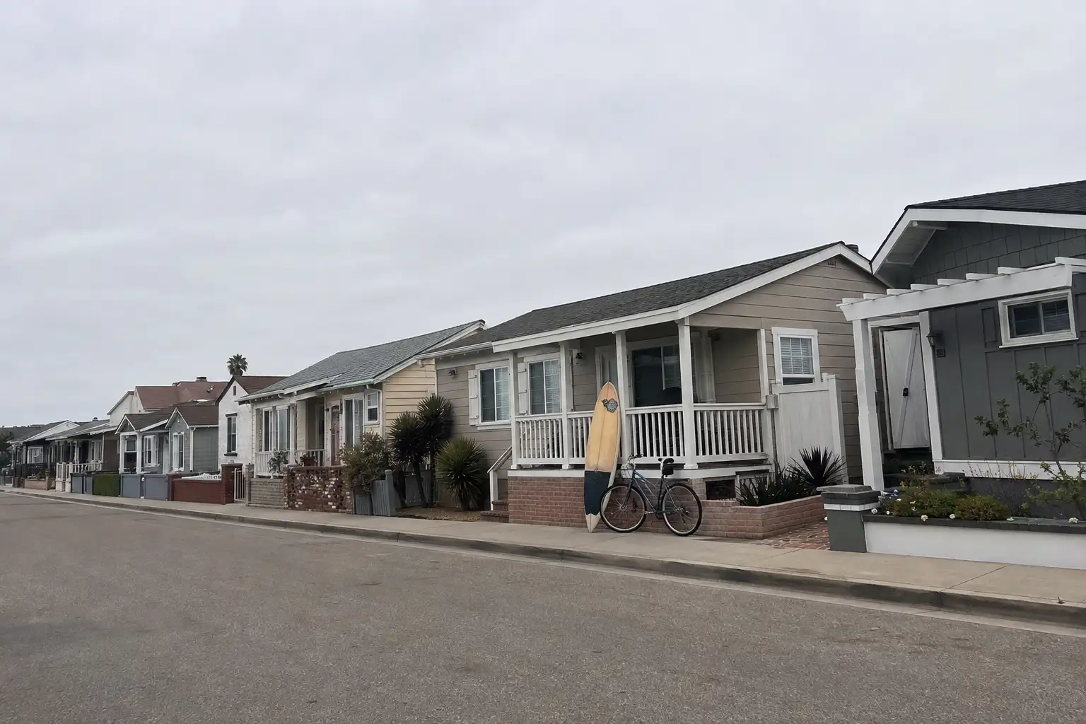
Illustrative scenes, not photographs of the places named. Places from OpenStreetMap, © OpenStreetMap contributors, ODbL.

Homes near here

Real listings live in Seal Beach right now — not a wish list.

All Seal Beach listings →

Active listings, as of September 22. Photos are illustrative — not photographs of the address on the card.

Ready to see Seal Beach for yourself?

Ask the Insider desk what's new, what dropped, and what's worth a look near you.

Private request. No recurring email is sent automatically.






