

Skip to content
Insider Realty, powered by AXEN Realty
Talk to Zarko

Around South Pasadena

South Pasadena, beyond the house.

The neighbourhoods, the daily rhythm and the drive to everywhere else — the part of a home search a listing sheet never covers.

See homes near here

This guide covers

  • Oaklawn
  • South Pasadena Historic District (Downtown / Mission Street)
  • Mission West / Route 66 corridor
  • Via del Rey / Monterey Hills
  • Arroyo Seco / Flores Adobe area
  • Fair Oaks Avenue / Arroyo Seco Parkway gateway

The desk's real neighbourhood file for South Pasadena — not a citywide average.

What is actually here

The desk is building a real map of South Pasadena — outdoors, local flavor, the commute and daily errands — rather than printing a generic list.

Outdoors

  • Garfield ParkPublic park, in town.
  • Orange Grove ParkPublic park, in town.
  • Arroyo ParkPublic park, in town.
  • San Pascual ParkPublic park, about 1.6 km from the city centre, straight line.
  • Busch GardensPublic park, about 1.9 km from the city centre, straight line.
  • Singer ParkPublic park, about 2.2 km from the city centre, straight line.

Wine & Local Flavor

  • Mission WinesWine shop, in town.
  • VisionariumWine shop, in town.
  • Titta InnWine shop, about 2.5 km from the city centre, straight line.

  • La CaveWine shop, about 3.2 km from the city centre, straight line.

  • Monopole by Wine RxWinery, about 3.5 km from the city centre, straight line.

  • Flask Highland ParkWine shop, about 3.6 km from the city centre, straight line.

Getting Around

  • South PasadenaRail station, in town.
  • FillmoreRail station, about 2.0 km from the city centre, straight line.

  • Del MarRail station, about 2.9 km from the city centre, straight line.

  • Memorial ParkRail station, about 3.6 km from the city centre, straight line.
  • Highland ParkRail station, about 3.7 km from the city centre, straight line.
  • LakeRail station, about 4.4 km from the city centre, straight line.

Food & Daily Life

  • Two KidsCafe, in town.
  • ShiroRestaurant, in town.
  • Canoe HouseRestaurant, in town.
  • Berry OperaCafe, in town.
  • Fiore Market CafeCafe, in town.
  • Hawaiian BBQRestaurant, in town.

Places from OpenStreetMap, September 10. © OpenStreetMap contributors. Distances are straight-line from the city centre, not drive times.

The neighbourhoods

Where South Pasadena actually breaks down, in the desk's own words.

Full neighbourhood file →

Oaklawn

South Pasadena's grandest subdivision, laid out starting in 1904 with entrance gate portals, a fence, and the arched Oaklawn Bridge and waiting station — built from Arroyo Seco stone — all designed by architects Charles and Henry Greene, the only bridge the Greene brothers ever built.

South Pasadena Historic District (Downtown / Mission Street)

Listed on the National Register of Historic Places in 1982, the district runs roughly between Mission and El Centro streets and Fairview and Meridian avenues, with Early Commercial and Revival-style buildings spanning three distinct construction periods from 1875 to 1949.

Mission West / Route 66 corridor

This stretch of Mission Street carried the original alignment of U.S.

Via del Rey / Monterey Hills

A hillside tract along Via del Rey, home to Monterey Hills Elementary School, where the city built a two-foot wall across the road in the mid-1970s to control traffic and noise from neighboring El Sereno; the barrier, long seen by some neighbors as exclusionary, was finally removed in July 2024.

Arroyo Seco / Flores Adobe area

The Flores Adobe, built in 1836 and listed on the National Register, sits near the former site of Las Flores Elementary School along the Arroyo Seco, which still holds a few unchannelized stretches with small populations of duck, fish, and frogs just south of Devil's Gate Dam.

Fair Oaks Avenue / Arroyo Seco Parkway gateway

The Arroyo Seco Parkway, California's first freeway and formerly the Pasadena Freeway, has two South Pasadena exits at Fair Oaks Avenue and Orange Grove Avenue — the same Fair Oaks Avenue that carries the Metro A Line's South Pasadena station at Mission Street, in the heart of downtown.

A day around here

Ordinary life in South Pasadena, the way it actually runs — not a highlight reel.

Morning

Coffee at Two Kids, then whatever the day actually needs.

Afternoon

An hour at Garfield Park, between the errands that never show up on a listing sheet.

Evening

Dinner at Shiro, then a short drive back to whichever neighbourhood you call home.

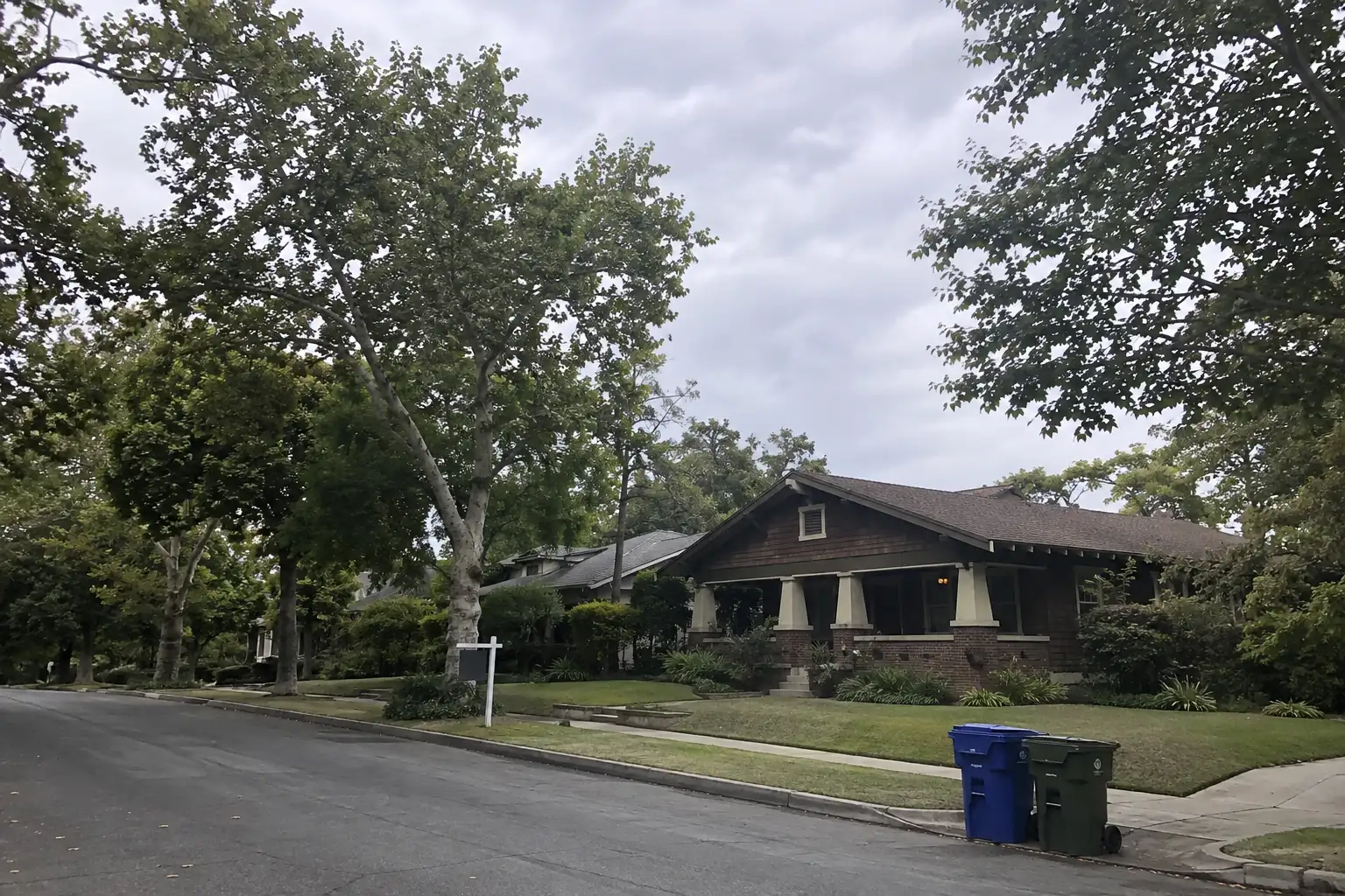
Illustrative scenes, not photographs of the places named. Places from OpenStreetMap, © OpenStreetMap contributors, ODbL.

Homes near here

Real listings live in South Pasadena right now — not a wish list.

All South Pasadena listings →

Active listings, as of September 22. Photos are illustrative — not photographs of the address on the card.

Ready to see South Pasadena for yourself?

Ask the Insider desk what's new, what dropped, and what's worth a look near you.

Private request. No recurring email is sent automatically.