

Skip to content
Insider Realty, powered by AXEN Realty
Talk to Zarko

Around Ventura

Ventura, beyond the house.

The neighbourhoods, the daily rhythm and the drive to everywhere else — the part of a home search a listing sheet never covers.

See homes near here

This guide covers

  • Midtown Ventura
  • Westside
  • Downtown / Old Town Ventura
  • Pierpont
  • Ondulando
  • East Ventura

The desk's real neighbourhood file for Ventura — not a citywide average.

What is actually here

The desk is building a real map of Ventura — outdoors, local flavor, the commute and daily errands — rather than printing a generic list.

Outdoors

  • Downtown Mini ParkPublic park, in town.
  • California Street Mini ParkPublic park, in town.
  • Mission ParkPublic park, in town.
  • Albinger Archeological MuseumPublic park, in town.
  • Valdez Alley ParkPublic park, in town.
  • Chilean Cactus and SucculentsPublic garden, in town.

Wine & Local Flavor

  • vom FassWine shop, in town.
  • Deep Sea Wine Tasting RoomWine shop, about 5.1 km from the city centre, straight line.

Getting Around

  • VenturaRail station, in town.
  • CA 33Freeway through the area — the Ojai Freeway.
  • Ventura Tansit CenterBus station, about 4.2 km from the city centre, straight line.
  • CA 126Freeway through the area — the Santa Paula Freeway.
  • East VenturaRail station, about 9.0 km from the city centre, straight line.
  • US 101Freeway through the area — the Ventura Freeway.

Food & Daily Life

  • Bank Of Italy Cocktail VaultRestaurant, in town.
  • Strange BeastRestaurant, in town.
  • Rice By MamaRestaurant, in town.
  • Casa BellaRestaurant, in town.
  • Rice Thai CuisineRestaurant, in town.
  • Kaapicat CafeCafe, in town.

Places from OpenStreetMap, September 10. © OpenStreetMap contributors. Distances are straight-line from the city centre, not drive times.

The neighbourhoods

Where Ventura actually breaks down, in the desk's own words.

Full neighbourhood file →

Midtown Ventura

A collection of residential neighborhoods built around the city's central commercial spine, home to the Pacific View mall, area schools and two hospitals.

Westside

Known locally as "The Avenue," the Westside sits between the Ventura River, the Pacific Ocean and the Ventura hills, one of the city's oldest and most culturally diverse working-class districts.

Downtown / Old Town Ventura

The historic core built up around Mission San Buenaventura and Main Street, anchored by the 1912 Ventura County Courthouse building that now serves as City Hall.

Pierpont

The city's beachfront neighborhood south of the Ventura Harbor entrance, developed with a dense mix of beach cottages and larger homes along the sand.

Ondulando

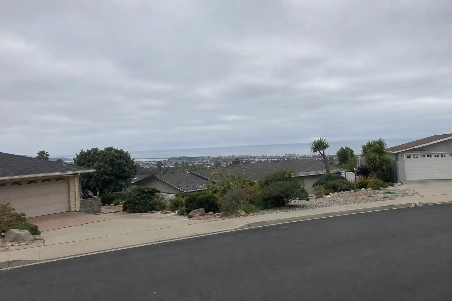
An upscale hillside neighborhood offering panoramic views of the city and coastline, known for larger lots and more spacious homes than the flatland districts below.

East Ventura

The newer, largely post-1970s residential area east of Victoria Avenue, built out alongside the city's growth toward the Santa Clara River valley.

A day around here

Ordinary life in Ventura, the way it actually runs — not a highlight reel.

Morning

Coffee at Kaapicat Cafe, then whatever the day actually needs.

Afternoon

An hour at Downtown Mini Park, between the errands that never show up on a listing sheet.

Evening

Dinner at Bank Of Italy Cocktail Vault, then a short drive back to whichever neighbourhood you call home.

Illustrative scenes, not photographs of the places named. Places from OpenStreetMap, © OpenStreetMap contributors, ODbL.

Homes near here

Real listings live in Ventura right now — not a wish list.

All Ventura listings →

Active listings, as of September 22. Photos are illustrative — not photographs of the address on the card.

Ready to see Ventura for yourself?

Ask the Insider desk what's new, what dropped, and what's worth a look near you.

Private request. No recurring email is sent automatically.






