

Skip to content
Insider Realty, powered by AXEN Realty
Talk to Zarko

Around Walnut

Walnut, beyond the house.

The neighbourhoods, the daily rhythm and the drive to everywhere else — the part of a home search a listing sheet never covers.

See homes near here

This guide covers

  • The Terraces
  • South Pointe
  • Timberline
  • Snow Creek
  • Mt. SAC district

The desk's real neighbourhood file for Walnut — not a citywide average.

What is actually here

The desk is building a real map of Walnut — outdoors, local flavor, the commute and daily errands — rather than printing a generic list.

Outdoors

  • Walnut Ridge ParkPublic park, in town.
  • Suzanne ParkPublic park, in town.
  • Snow Creek ParkPublic park, in town.
  • Mt. SAC Wildlife SanctuaryNature reserve, about 1.7 km from the city centre, straight line.
  • Diamond Bar Pony Baseball FieldsPublic park, about 2.2 km from the city centre, straight line.
  • Heidelberg ParkPublic park, about 2.3 km from the city centre, straight line.

Wine & Local Flavor

  • 3rd Street Wine ShopWine shop, about 11 km from the city centre, straight line.

Getting Around

  • IndustryRail station, about 2.0 km from the city centre, straight line.

  • CA 57 EXPRFreeway through the area.
  • CA 60 ALTFreeway through the area.
  • I-10Freeway through the area — the San Bernardino Freeway.
  • CA 57Freeway through the area — the Orange Freeway.
  • I 10Freeway through the area — the San Bernardino Freeway.

Food & Daily Life

  • Hong Kong CafeRestaurant, about 2.0 km from the city centre, straight line.

  • Mazesoba HeroRestaurant, about 2.1 km from the city centre, straight line.

  • R&B Tea HouseCafe, about 2.1 km from the city centre, straight line.

  • Hey ChickenRestaurant, about 2.2 km from the city centre, straight line.

  • Taco NazoRestaurant, about 2.2 km from the city centre, straight line.

  • New York PizzeriaRestaurant, about 2.2 km from the city centre, straight line.

Places from OpenStreetMap, September 10. © OpenStreetMap contributors. Distances are straight-line from the city centre, not drive times.

The neighbourhoods

Where Walnut actually breaks down, in the desk's own words.

Full neighbourhood file →

The Terraces

Walnut's only guard-gated, 24-hour-patrolled community, styled after Mediterranean hilltop villages, with both townhomes and single-family houses.

South Pointe

Built out starting in 1981 around South Pointe Middle School, this is one of Walnut's larger-home neighborhoods, with an average home value above $1.3 million.

Timberline

A mid-1980s tract north of the South San Jose Hills, mixing mid-century modern, Spanish Mediterranean, and ranch-style houses on quarter-acre-and-smaller lots.

Snow Creek

Named for one of the two creeks — with Lemon Creek — that drain south from the San Jose Hills toward San Jose Creek and, eventually, the San Gabriel River.

Mt. SAC district

Anchored by Mt.

A day around here

Ordinary life in Walnut, the way it actually runs — not a highlight reel.

Morning

Coffee at R&B Tea House, then whatever the day actually needs.

Afternoon

An hour at Walnut Ridge Park, between the errands that never show up on a listing sheet.

Evening

Dinner at Hong Kong Cafe, then a short drive back to whichever neighbourhood you call home.

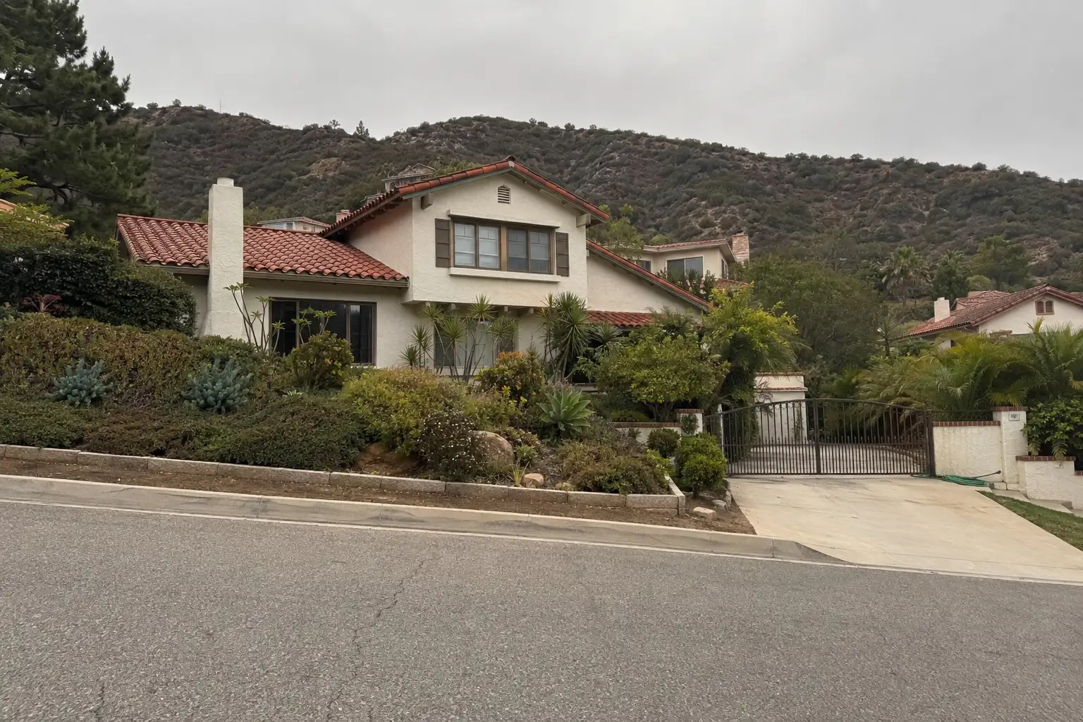
Illustrative scenes, not photographs of the places named. Places from OpenStreetMap, © OpenStreetMap contributors, ODbL.

Homes near here

Real listings live in Walnut right now — not a wish list.

All Walnut listings →

Active listings, as of September 22. Photos are illustrative — not photographs of the address on the card.

Ready to see Walnut for yourself?

Ask the Insider desk what's new, what dropped, and what's worth a look near you.

Private request. No recurring email is sent automatically.