


Outdoors
- Friends ParkPublic park, in town.
- Central ParkPublic park, in town.
- Lee & Erika Owens ParkPublic park, in town.
- John Greenleaf Whittier ParkPublic park, in town.
- William Penn ParkPublic park, in town.
- Broadway ParkPublic park, in town.

Navigation
 Buy
Buy Photo unavailable10550 Dunlap Crossing 141-$12,500Listing brokerage1st Class Realty Group
 Photo unavailable4140 Workman Mill 165-$18,260Listing brokerageTrinity Realty & Investments
 Sell
Sell Photo unavailable9563 GreeningSoldListing brokerageBetter Homes, BHR Whittier Inc
 Photo unavailable10842 Amber HillPendingListing brokerageEstate Properties
 InvestPhoto unavailable10550 Dunlap Crossing 141-$12,500Listing brokerage1st Class Realty GroupPhoto unavailable4140 Workman Mill 165-$18,260Listing brokerageTrinity Realty & Investments
 Inspector’s Eye
 Vault
Vault Learn
Learn AboutTalk to Zarko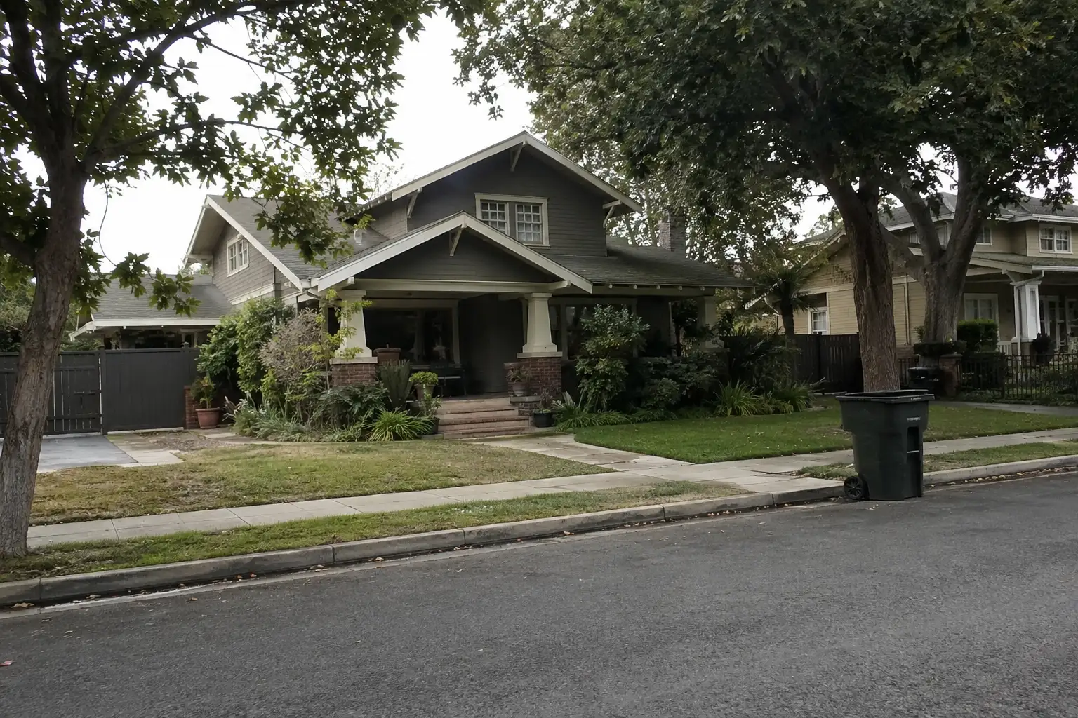
Around Whittier
The neighbourhoods, the daily rhythm and the drive to everywhere else — the part of a home search a listing sheet never covers.
See homes near here →The desk is building a real map of Whittier — outdoors, local flavor, the commute and daily errands — rather than printing a generic list.

The desk hasn't surveyed wine & local flavor around Whittier yet — this card fills in as soon as it has, real names only.


Places from OpenStreetMap, September 10. © OpenStreetMap contributors. Distances are straight-line from the city centre, not drive times.
Where Whittier actually breaks down, in the desk's own words.
Full neighbourhood file →The area around Philadelphia Street and Greenleaf Avenue forms the city's traditional central business core, lined with early-1900s commercial buildings including the Hoover Hotel and the former Southern Pacific Railroad depot.
Just north of Uptown, this designated historic district is heavy with Craftsman and Spanish Colonial Revival homes and forms most of the Whittier Historic Neighborhood Association area.
A city-designated historic district adjoining Central Park, sharing the same concentration of early-20th-century Craftsman and Spanish Colonial Revival architecture.
The neighborhood surrounding Whittier College, designated a historic district, developed on hillside terrain above the flatter valley core.
A hillside neighborhood in and abutting the hills north of the historic Uptown districts.
The area east of College Avenue was unincorporated agricultural land until the postwar era; Richard Nixon grew up here before it was annexed into the city.
Ordinary life in Whittier, the way it actually runs — not a highlight reel.

An early walk at Friends Park, before the day starts properly.

An hour at Central Park, between the errands that never show up on a listing sheet.

Dinner at Portsmouth, then a short drive back to whichever neighbourhood you call home.
Illustrative scenes, not photographs of the places named. Places from OpenStreetMap, © OpenStreetMap contributors, ODbL.
Real listings live in Whittier right now — not a wish list.
All Whittier listings →



Active listings, as of September 22. Photos are illustrative — not photographs of the address on the card.
Ask the Insider desk what's new, what dropped, and what's worth a look near you.