

Skip to content
Insider Realty, powered by AXEN Realty
Talk to Zarko

Around Yucaipa

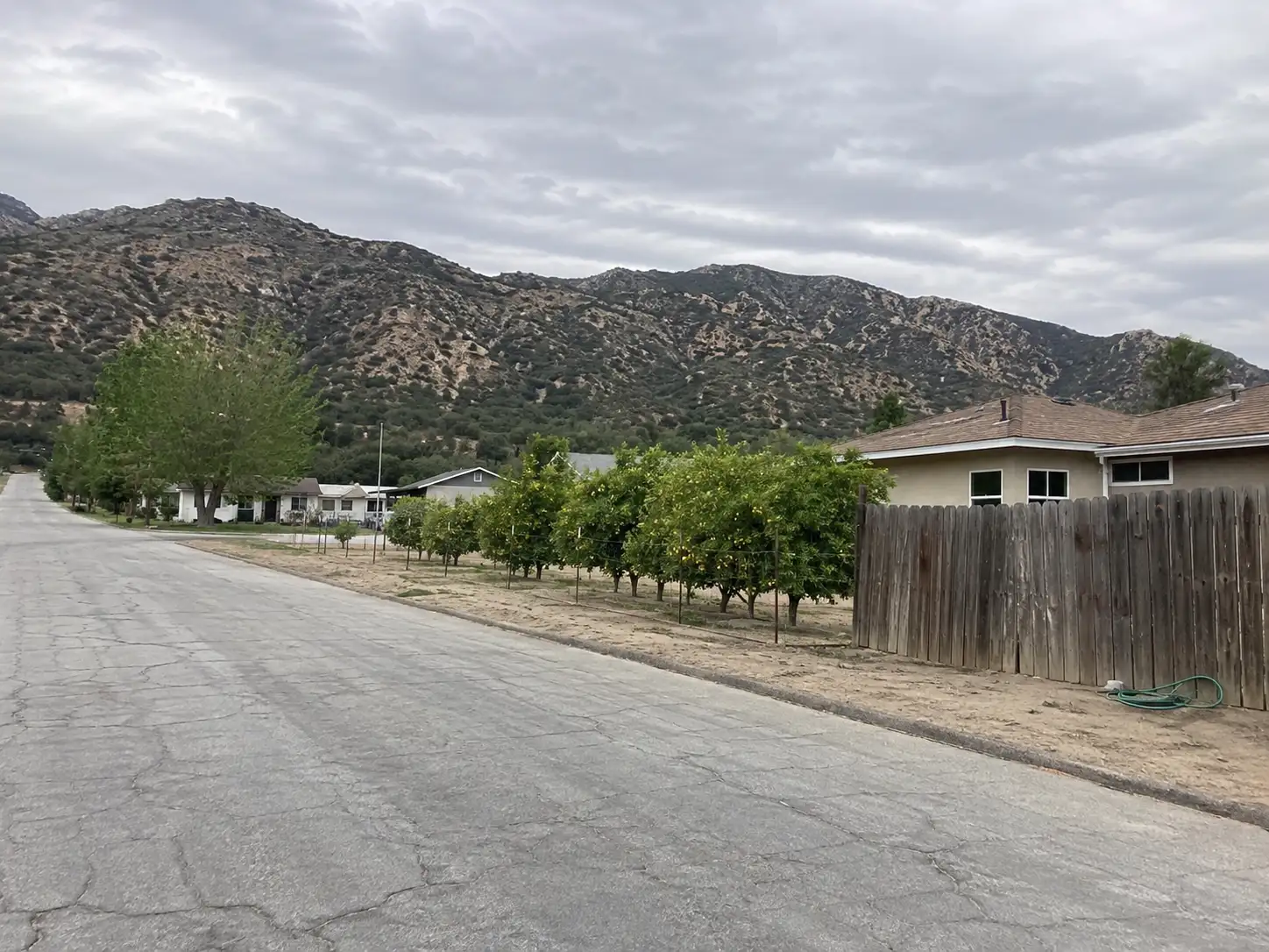
Yucaipa, beyond the house.

The neighbourhoods, the daily rhythm and the drive to everywhere else — the part of a home search a listing sheet never covers.

See homes near here

This guide covers

  • Chapman Heights
  • Wildwood Canyon
  • Dunlap Acres
  • North Bench
  • Uptown
  • Oak Glen Road corridor

The desk's real neighbourhood file for Yucaipa — not a citywide average.

What is actually here

The desk is building a real map of Yucaipa — outdoors, local flavor, the commute and daily errands — rather than printing a generic list.

Outdoors

  • Lillian Eaton ParkPublic park, in town.
  • John Tooker Civic ParkPublic park, in town.
  • 7th Street ParkPublic park, in town.
  • Crafton Hills ParkPublic park, about 1.5 km from the city centre, straight line.
  • Center ParkPublic park, about 1.5 km from the city centre, straight line.
  • Avenue A ParkPublic park, about 1.8 km from the city centre, straight line.

Wine & Local Flavor

The desk hasn't surveyed wine & local flavor around Yucaipa yet — this card fills in as soon as it has, real names only.

Getting Around

  • Yucaipa Transit CenterBus station, in town.
  • I 10Freeway through the area — the Pearl Harbor Memorial Highway.
  • Redlands–DowntownRail station, about 12 km from the city centre, straight line.

  • CA 60Freeway through the area — the Moreno Valley Freeway.
  • US 99 HistFreeway through the area — the 6th Street.
  • CA 79Highway through the area — the Beaumont Avenue.

Food & Daily Life

  • ALDISupermarket, in town.
  • VonsSupermarket, in town.
  • StarbucksCafe, in town.
  • Jose's Mexican FoodRestaurant, in town.
  • Denny'sRestaurant, in town.
  • Taco VillageRestaurant, about 1.7 km from the city centre, straight line.

Places from OpenStreetMap, September 10. © OpenStreetMap contributors. Distances are straight-line from the city centre, not drive times.

The neighbourhoods

Where Yucaipa actually breaks down, in the desk's own words.

Full neighbourhood file →

Chapman Heights

A planned residential area near the Yucaipa Valley Golf Club, close to parks, schools and retail.

Wildwood Canyon

A foothill neighborhood of ranch-style, estate and custom-built homes on larger lots near Wildwood Canyon State Park.

Dunlap Acres

An older, more affordable Yucaipa tract; the Dunlap family name also carries an elementary school in the Yucaipa-Calimesa Joint Unified School District.

North Bench

A foothill-area neighborhood along Bryant Street, home to one of Cal Fire's three Yucaipa fire stations.

Uptown

The city's central core, anchored by the 16,200-square-foot performing arts center that broke ground in 2016 on 2.7 acres at Acacia Avenue and California Street.

Oak Glen Road corridor

The Yucaipa city stretch of Oak Glen Road leading toward the unincorporated Oak Glen apple-orchard community, which sits outside city limits.

A day around here

Ordinary life in Yucaipa, the way it actually runs — not a highlight reel.

Morning

An early walk at Lillian Eaton Park, before the day starts properly.

Afternoon

An hour at John Tooker Civic Park, between the errands that never show up on a listing sheet.

Evening

Dinner at Jose's Mexican Food, then a short drive back to whichever neighbourhood you call home.

Illustrative scenes, not photographs of the places named. Places from OpenStreetMap, © OpenStreetMap contributors, ODbL.

Homes near here

Real listings live in Yucaipa right now — not a wish list.

All Yucaipa listings →

Active listings, as of September 22. Photos are illustrative — not photographs of the address on the card.

Ready to see Yucaipa for yourself?

Ask the Insider desk what's new, what dropped, and what's worth a look near you.

Private request. No recurring email is sent automatically.




