

Skip to content
Insider Realty, powered by AXEN Realty
Talk to Zarko

Around Yucca Valley

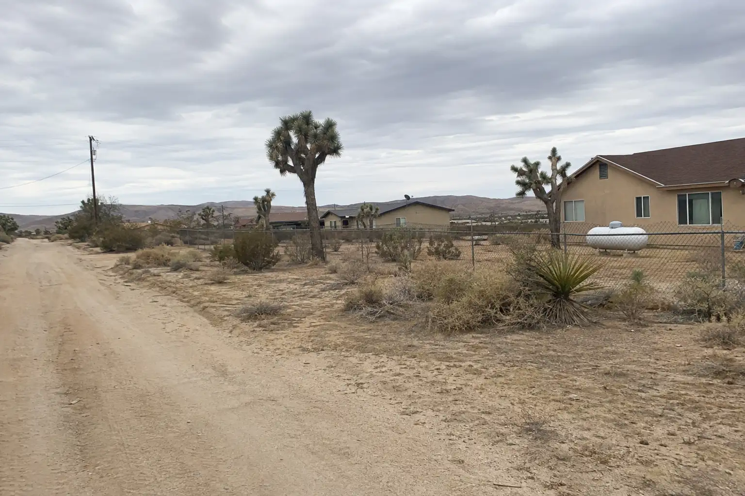
Yucca Valley, beyond the house.

The neighbourhoods, the daily rhythm and the drive to everywhere else — the part of a home search a listing sheet never covers.

See homes near here

This guide covers

  • Old Town Yucca Valley
  • Yucca Mesa
  • Sky Harbor
  • Desert Christ Park area
  • Pioneertown Road corridor
  • Yucca Trail / Onaga area

The desk's real neighbourhood file for Yucca Valley — not a citywide average.

What is actually here

The desk is building a real map of Yucca Valley — outdoors, local flavor, the commute and daily errands — rather than printing a generic list.

Outdoors

  • Triangle ParkPublic park, in town.
  • Youth Sports ParkPublic park, in town.
  • Brehm ParkPublic park, in town.
  • Joshua Drive ParkPublic park, in town.
  • Hi Desert ParkPublic park, about 1.7 km from the city centre, straight line.
  • Community Center ParkPublic park, about 1.7 km from the city centre, straight line.

Wine & Local Flavor

The desk hasn't surveyed wine & local flavor around Yucca Valley yet — this card fills in as soon as it has, real names only.

Getting Around

The desk hasn't surveyed getting around around Yucca Valley yet — this card fills in as soon as it has, real names only.

Food & Daily Life

  • John's PlaceRestaurant, in town.
  • Jelly DonutRestaurant, in town.
  • Kasa MarketRestaurant, in town.
  • Alamilla's Taco ShopRestaurant, in town.
  • Aki SushiRestaurant, in town.
  • Frontier CaféCafe, in town.

Places from OpenStreetMap, September 10. © OpenStreetMap contributors. Distances are straight-line from the city centre, not drive times.

The neighbourhoods

Where Yucca Valley actually breaks down, in the desk's own words.

Full neighbourhood file →

Old Town Yucca Valley

Centered on Highway 62 at Pioneertown Road, Old Town is the original commercial core of the town, now home to antique malls and the historic retail strip that predates the 1991 incorporation.

Yucca Mesa

An elevated residential area on the eastern edge of town known for large parcels and desert privacy, served by its own Yucca Mesa Elementary School within the Morongo Unified School District.

Sky Harbor

A residential subdivision dating to around 1970, straddling the 92252/92284 zip boundary, built out mostly with midsize single-family homes on individual wells.

Desert Christ Park area

The hillside above Sunnyslope Drive is home to Desert Christ Park, opened in the late 1940s and holding more than 40 large-scale concrete sculptures by artist Frank Antoine Martin.

Pioneertown Road corridor

The route running northwest out of Old Town toward Pioneertown, the 1946 Roy Rogers-era movie-set town four miles away, lined with rural residential parcels at the edge of Yucca Valley's town limits.

Yucca Trail / Onaga area

A residential district near Onaga Elementary School, one of three neighborhood elementary campuses the Morongo Unified School District operates within Yucca Valley town limits.

A day around here

Ordinary life in Yucca Valley, the way it actually runs — not a highlight reel.

Morning

Coffee at Frontier Café, then whatever the day actually needs.

Afternoon

An hour at Triangle Park, between the errands that never show up on a listing sheet.

Evening

Dinner at John's Place, then a short drive back to whichever neighbourhood you call home.

Illustrative scenes, not photographs of the places named. Places from OpenStreetMap, © OpenStreetMap contributors, ODbL.

Homes near here

Real listings live in Yucca Valley right now — not a wish list.

All Yucca Valley listings →

Active listings, as of September 22. Photos are illustrative — not photographs of the address on the card.

Ready to see Yucca Valley for yourself?

Ask the Insider desk what's new, what dropped, and what's worth a look near you.

Private request. No recurring email is sent automatically.






