

Skip to content
Insider Realty, powered by AXEN Realty
Talk to Zarko

Around Encinitas

Encinitas, beyond the house.

The neighbourhoods, the daily rhythm and the drive to everywhere else — the part of a home search a listing sheet never covers.

See homes near here

This guide covers

  • Old Encinitas
  • New Encinitas
  • Village Park
  • Leucadia
  • Cardiff-by-the-Sea
  • Olivenhain
  • Quail Gardens

The desk's real neighbourhood file for Encinitas — not a citywide average.

What is actually here

The desk is building a real map of Encinitas — outdoors, local flavor, the commute and daily errands — rather than printing a generic list.

Outdoors

  • Encinitas Viewpoint ParkPublic park, in town.
  • Moonlight State BeachPublic park, in town.
  • Cottonwood Creek ParkPublic park, in town.
  • H Street Viewpoint ParkPublic park, in town.
  • Mildred Macpherson ParkPublic park, in town.
  • I Street Viewpoint ParkPublic park, in town.

Wine & Local Flavor

The desk hasn't surveyed wine & local flavor around Encinitas yet — this card fills in as soon as it has, real names only.

Getting Around

  • Encinitas StationBus station, in town.
  • EncinitasRail station, in town.
  • Solana BeachRail station, about 6.2 km from the city centre, straight line.
  • Carlsbad PoinsettiaRail station, about 7.5 km from the city centre, straight line.
  • I 5Freeway through the area — the San Diego Freeway.
  • CR S12Highway through the area — the Palomar Airport Road.

Food & Daily Life

  • Vigilucci's TrattoriaRestaurant, in town.
  • Plumeria Vegetarian FoodRestaurant, in town.
  • The RoxyRestaurant, in town.
  • SAGORestaurant, in town.
  • Gelato 101Restaurant, in town.
  • Filiberto'sRestaurant, in town.

Places from OpenStreetMap, September 10. © OpenStreetMap contributors. Distances are straight-line from the city centre, not drive times.

The neighbourhoods

Where Encinitas actually breaks down, in the desk's own words.

Full neighbourhood file →

Old Encinitas

The small beachside core along historic Coast Highway 101, home to the Encinitas welcome arch, the Swami's surf break and the early 20th-century La Paloma Theatre.

New Encinitas

The area east of the coastal ridge that divides it from Old Encinitas, one of the five communities that merged to form the city at its 1986 incorporation.

Village Park

A named residential district within New Encinitas, one of the sub-areas the city's own incorporation history groups under the New Encinitas community.

Leucadia

A coastal community of tree-lined streets, art galleries and beaches including Beacons and Grandview, one of the five founding communities of Encinitas.

Cardiff-by-the-Sea

The city's southernmost oceanfront community, with streets named after British cities and classical composers and its own USPS ZIP code, 92007.

Olivenhain

A semi-rural district in eastern Encinitas settled by German immigrants under the Homestead Act of 1862, still home to private equestrian facilities.

A day around here

Ordinary life in Encinitas, the way it actually runs — not a highlight reel.

Morning

An early walk at Encinitas Viewpoint Park, before the day starts properly.

Afternoon

An hour at Moonlight State Beach, between the errands that never show up on a listing sheet.

Evening

Dinner at Vigilucci's Trattoria, then a short drive back to whichever neighbourhood you call home.

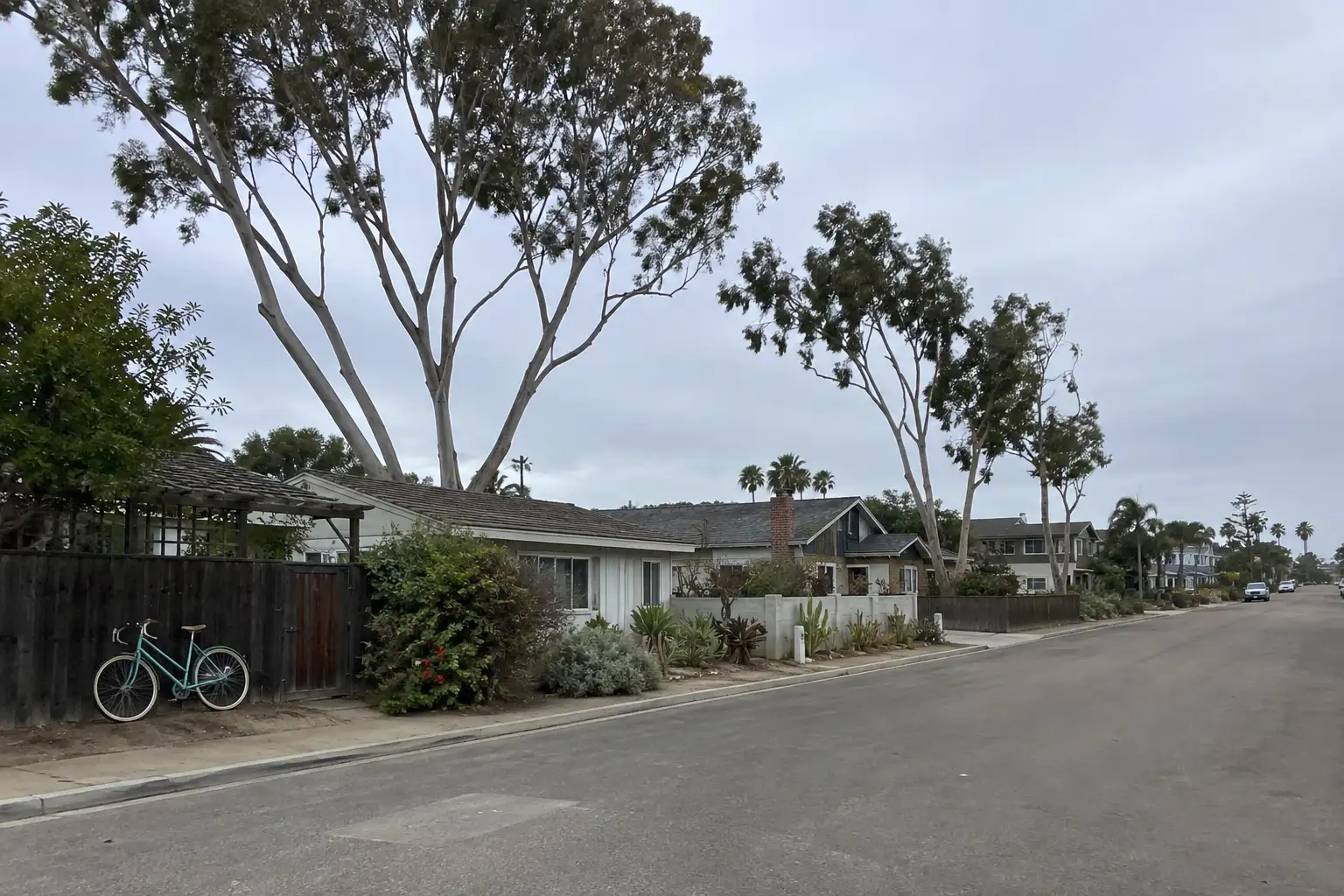
Illustrative scenes, not photographs of the places named. Places from OpenStreetMap, © OpenStreetMap contributors, ODbL.

Homes near here

Real listings live in Encinitas right now — not a wish list.

All Encinitas listings →

Active listings, as of September 22. Photos are illustrative — not photographs of the address on the card.

Ready to see Encinitas for yourself?

Ask the Insider desk what's new, what dropped, and what's worth a look near you.

Private request. No recurring email is sent automatically.






