



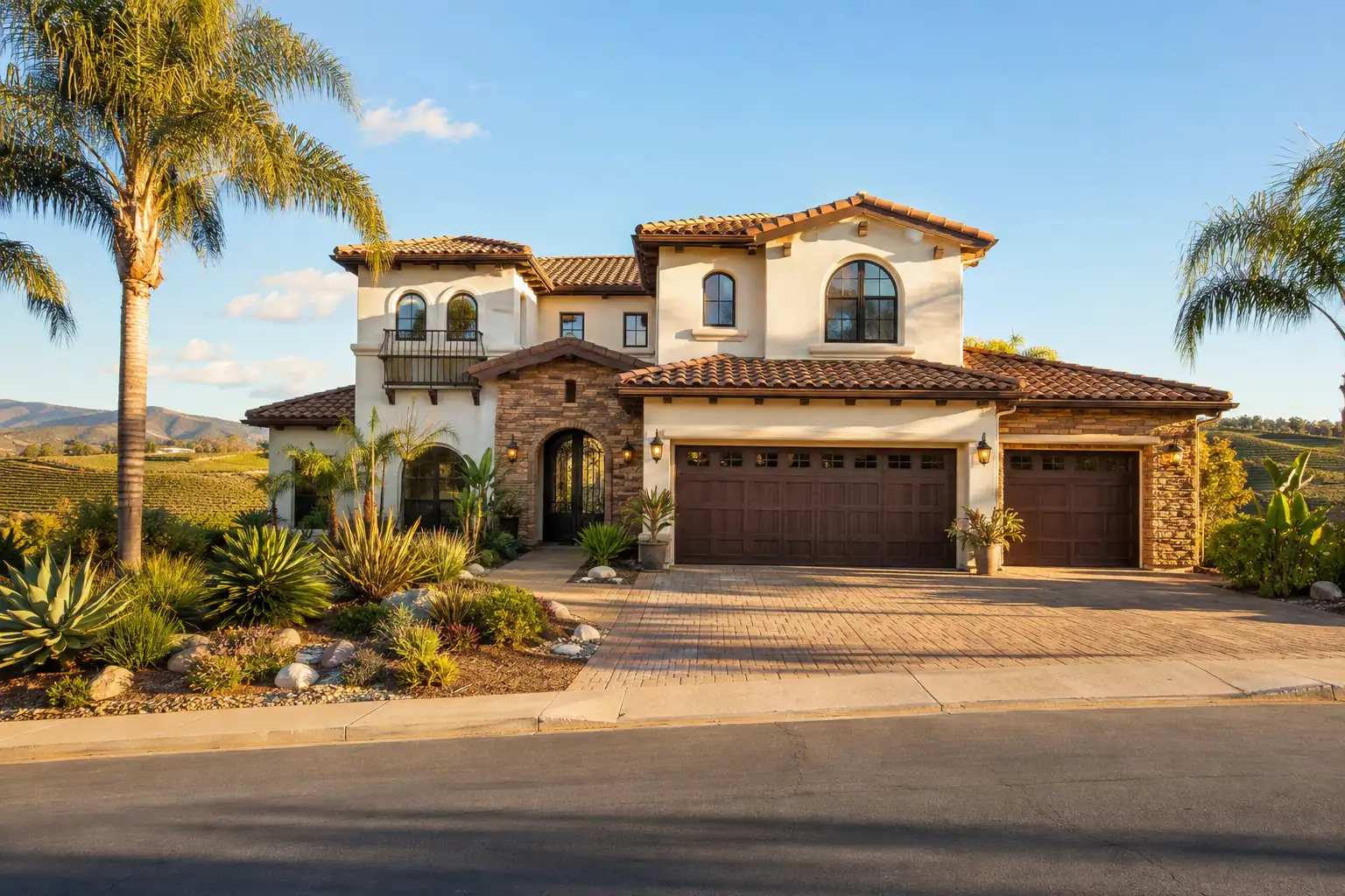
On September 21, 2026, the Calimesa City Council voted 4-1 to approve the Mesa Verde Specific Plan Area 2 Amendment 2 project and give two related ordinances their first reading. For future Mesa Verde buyers and owners near County Line Road, the approval provides specific documents and construction milestones to check. It doesn’t give a home sales date.
This is general information, not legal or tax advice.
The News Mirror story covers the approval. The details below come from the city’s documents.
What did the council approve?
The council approved the environmental report, subdivision maps, General Plan changes and six industrial buildings, while the development agreement and zoning ordinances received their first reading.
The September 21 Action Minutes record adoption of Resolutions 2026-53 through 2026-57. These include certification of the Subsequent Environmental Impact Report, a revised Tentative Tract Map 33931 dividing 1,463.1 acres into 114 lots, six residential tract maps and the industrial approvals.
Ordinance No. 424 covers Development Agreement 25-4. Ordinance No. 425 covers Specific Plan Amendment 23-01 and Zone Change 23-01. Both were scheduled for second reading on the October 5, 2026 consent calendar.
The October 5 minutes were not posted when checked on October 22. Confirm adoption and the effective date with the City Clerk before treating the ordinances as effective.
How many homes and warehouses does the plan allow?
The development program includes up to 3,650 residential units, with 549 single-family lots across the six residential tract maps approved in September.
The 3,650 units describe the broader development program, while the 549 lots belong to the six approved maps in Planning Areas 13, 14, 15, 16, 18 and 19. The 2017 plan also allowed 3,650 residential units. According to the staff report, none of that plan’s components had been implemented.
The business park approval covers six industrial buildings totaling approximately 4,105,800 gross square feet on approximately 222.91 gross acres, to be developed in four phases.
For a buyer, approval is a starting point for checking a particular home offering. The reviewed documents provide no home prices, homebuilder names, sales dates or construction start dates. A tract map alone doesn’t answer when a home will be available.
What changed in the fault and evacuation maps?
General Plan Amendment 23-1 changes the city’s Fault Zones and Evacuation Routes figures for the Mesa Verde area.
Figure SAF-1, Fault Zones, is changed to indicate that the fault depicted within the plan area has been determined inactive pursuant to on-site geotechnical studies. That is the city’s stated basis for the map change. If you’re evaluating a property, check the applicable map and supporting studies rather than extending that finding beyond the fault described.
Figure SAF-7, Evacuation Routes, is changed to show routes from Mesa Verde along County Line Road, Sandalwood Drive and Roberts Road.
The city’s Mesa Verde page provides environmental documents, notices and recordings. You can use those materials alongside the property disclosures discussed in the NHD report guide to identify questions about a specific parcel.
What environmental findings came with approval?
The Subsequent Environmental Impact Report found significant and unavoidable impacts for aesthetics, air quality, greenhouse gas emissions and noise.
The staff report says approval required a Statement of Overriding Considerations.
For property research, start with the report and its responses to comments on the city’s project page. Insider’s guide to buying near warehouses covers the same kind of question in Perris.
What does the agreement require on County Line Road?
The development agreement requires County Line Road improvements before the first residential certificate of occupancy, with separate earlier and later emergency-access milestones.
The required road work runs from County Line Lane to the development boundary. Emergency access must exist before the first building permit. Permanent emergency access via Live Oak Canyon Road is required before occupancy of the 200th residential unit.
The September 21 staff report says off-site work would occur within the existing public right-of-way, which ranges from 60 to 80 feet. East of West County Line Lane, the road would be 38 feet curb to curb with 5-foot paved sidewalks.
Residents along County Line Road raised traffic and right-of-way concerns. If you own nearby, check the improvement plans against your parcel and ask the city how the approved work relates to its frontage.
Say an owner along County Line Road is preparing to sell a nearby property. The owner would compare the improvement plans with the parcel’s frontage and ask the city how the work relates to the existing public right-of-way. If adopted, the development agreement would require road improvements before the first residential certificate of occupancy, with emergency access required before the first building permit. Those separate milestones would give the owner specific questions to research without supplying a construction start date or establishing how the project affects the property’s value.
What housing and public-facility commitments are included?
The agreement requires 183 units restricted to low-income households and an offer to dedicate about 5.3 acres for public-facility purposes.
The restricted units must be addressed with the first discretionary application in Planning Areas 9 through 12. The land dedication belongs with the first final subdivision map and concerns Planning Area 56, at no cost to the city.
The agreement also sets developer contributions at single-family building permits and business park occupancy. These are developer payments, not a homebuyer tax. Its initial term is fifteen years from the effective date, with two possible five-year extensions tied to milestones.
What should a future Mesa Verde buyer check?
A future buyer should confirm the ordinances’ status, the home’s tract and the Public Services CFD special tax disclosure.
The agreement requires the developer to initiate annexation into the City’s Public Services CFD within 12 months and complete it before the first certificate of occupancy. Homes would be in the district once annexed. No special tax amount was found in the reviewed documents, so ask for the actual disclosure and read the Mello-Roos guide.
Say a buyer is considering a future Mesa Verde home. The buyer would identify its tract, confirm the ordinances’ adoption and effective date with the City Clerk, and request the CFD special tax disclosure. If the home is offered before required road work is complete, the buyer would ask how the first-occupancy milestone applies. The approval would support those questions, but it would not supply a sales date or the home’s special tax amount.
The short version
Mesa Verde’s approval establishes specific land-use approvals and obligations you can check against a future home or nearby property.
Use the agendas portal to confirm subsequent council action. Buyers should request the CFD disclosure and check access milestones. Nearby owners can review the County Line Road plans and right-of-way details with the city.
Curious what your home is worth today? Try the home value tool.
Common questions
What did Calimesa approve for Mesa Verde?
On September 21, 2026, the council voted 4-1 to approve the environmental report, subdivision maps, General Plan changes and six industrial buildings, and gave two ordinances their first reading.
Were the Mesa Verde ordinances adopted on October 5?
Ordinances No. 424 and 425 were scheduled for second reading on October 5, 2026. Confirm adoption and their effective date with the City Clerk.
How many homes does the Mesa Verde plan allow?
The development program includes up to 3,650 residential units. The six approved residential tract maps cover 549 single-family lots.
Will Mesa Verde homes have a CFD special tax?
The development agreement requires annexation into the City's Public Services CFD before the first certificate of occupancy. Homes would be in the district once annexed, but the reviewed documents did not provide a special tax amount.
