



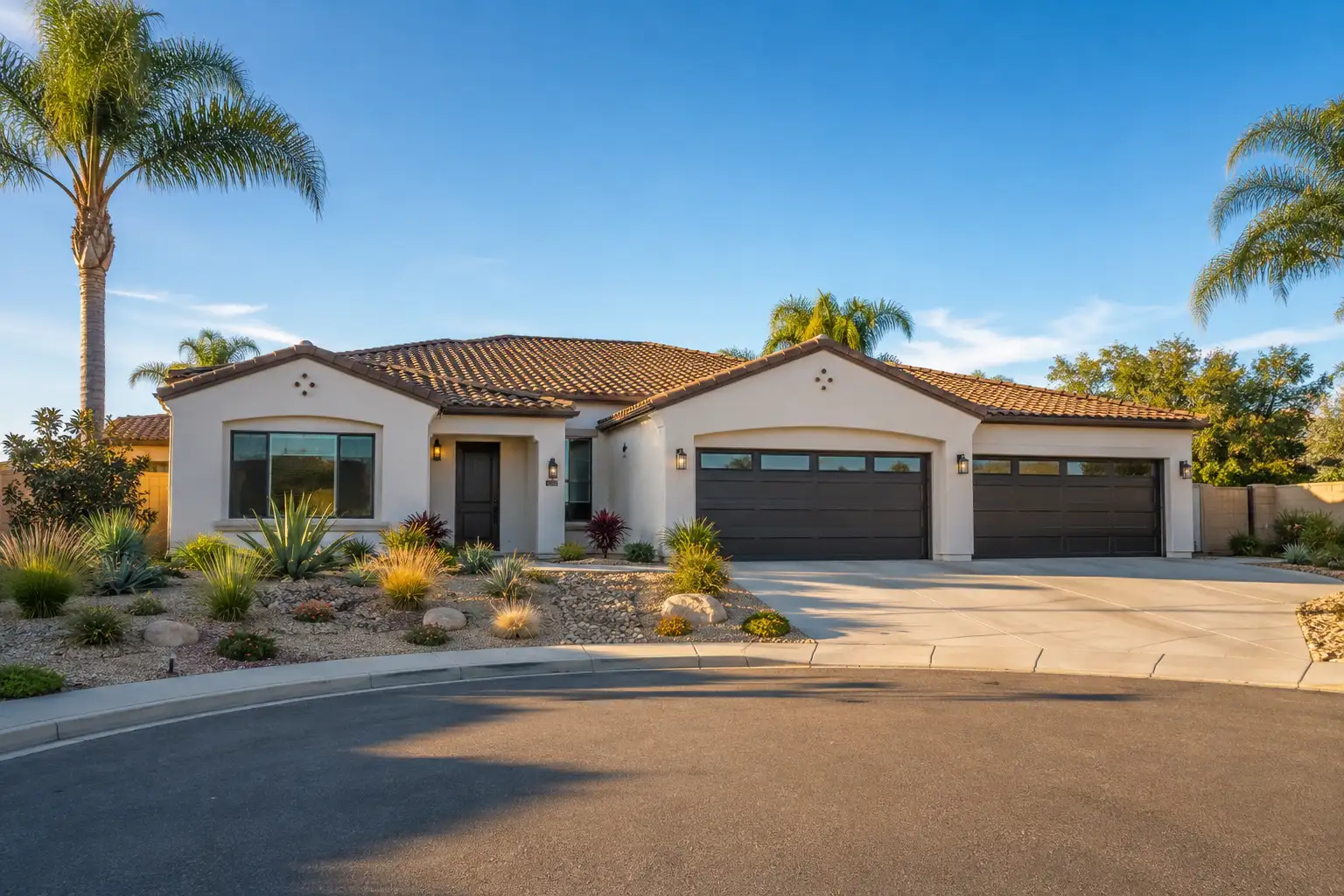
You may be considering an El Cajon property with a steep yard, a retaining wall or visible grading and wondering what the letter “H” means on the zoning map. It means the parcel may be subject to the Hillside Overlay Zone, a set of standards added on top of the property’s normal zoning.
The overlay does not decide which uses are allowed. It addresses matters such as grading, drainage, constructed slopes, planting and development-plan review. This is general information and not legal advice.
The rules below come from the El Cajon Municipal Code, Chapter 17.170, and its referenced landscaping provision in Section 17.195.160. The code text was read as published on GoCodebook, a code-publishing site, in its 2026-10 edition updated October 4, 2026. The City’s official code host was not checked.
Does the H zone change what you can do with the property?
The H zone does not add or remove permitted uses, but it adds standards to the rules of the underlying zone.
The El Cajon Municipal Code lists the H zone as an overlay zone and says it contains no uses of its own. A use permitted by the underlying zone remains subject to that zone’s requirements, along with the restrictions and regulations of the H overlay.
The Code says the chapter is intended to allow reasonable use of hillside areas while minimizing dangers involving soil erosion, slippage, flooding and fire. It also aims to minimize disturbance of natural terrain and conserve the area’s aesthetic qualities. The Code recognizes that hillsides do not lend themselves to the same development standards as predominantly level land.
What limits apply to grading and constructed slopes?
The El Cajon Municipal Code limits the steepness, height and arrangement of cut and fill slopes created by grading.
Cut and fill slopes may be no steeper than two horizontal to one vertical. A cut slope, fill slope or combination may not exceed 30 feet when measured vertically. The natural terrain may not be lowered or raised by more than 30 feet.
Constructed slopes higher than 15 feet must be separated by a building pad or street. If a natural slope provides the separation, the Code requires at least 30 feet. Tops and vertical corners of constructed slopes must be rounded with a minimum curvature radius of five feet.
The Code also addresses lot layout. Where applicable, lot lines are to be placed at the top of slopes so that downhill slopes become part of the lot at the lower elevation.
Every slope created by grading must have adequate provision to carry water from the site to a natural drainage course, drainage channel or public right-of-way. The guide to the Santee San Diego River flood zone shows why location-specific rules should be checked with the correct city.
When are planting and irrigation required?
The El Cajon Municipal Code requires planting on certain constructed slopes and sets related tree, shrub and irrigation standards.
The requirement applies to constructed slopes that are steeper than six horizontal to one vertical and higher than three feet. The Code says the planting is intended to prevent raveling and erosion of the ground surface and to serve as a fire-retardant.
For a slope at least ten feet high, the Code requires at least one tree for every 600 square feet of total slope area. Trees must be five-gallon size and placed at least 30 feet apart. Shrubs must be at least one-gallon size.
An adequate irrigation system is required for the slope planting. On a slope under six feet in vertical height, hose bibs within 50 feet of the slope may be used. Planting and irrigation must be completed before the Building Division’s final inspection of the lot.
The land developer maintains that planting until the properties within the development are occupied. The reviewed sections do not identify who has to repair or maintain a slope after that point, so a buyer or seller should not assume the Code settles that responsibility.
Natural rock outcroppings and native vegetation are strongly encouraged. The Code says approval may be conditioned on retaining certain natural site features.
What plans and technical reports can the City require?
The El Cajon Municipal Code requires grading information on qualifying plans and calls for professional reports in specified development proposals.
Tentative maps or plans that require grading must show the relative contours of the existing ground at intervals no greater than five feet. They must also show constructed-slope locations and proposed finished-grade elevations.
All development proposals, including retaining-wall proposals in areas of known geological hazards, must be accompanied by a detailed geotechnical report prepared by a certified engineering geologist or licensed geotechnical engineer. Before accepting a final map or development plan, the Code requires a detailed grading plan certified by a licensed civil engineer. If the development is in a known geological-hazard area, that plan must also be signed by a certified engineering geologist or licensed geotechnical engineer.
The Code does not establish from these provisions that every small homeowner project requires a geotechnical report. Ask El Cajon Planning whether specific work qualifies as a development proposal or as a plan requiring grading. Plan review does not impose liability on the City.
Can hillside street standards be modified?
The city engineer may modify street-improvement standards so a street remains functional and adapts to the natural terrain. Reduced right-of-way widths and sidewalks on one side may be considered for a street serving a very limited number of dwelling units. If reduced width eliminates curbside parking, equivalent parking must be provided through parking bays, turn-outs, on-site spaces or another means.
Which excavations and embankments are exempt?
The El Cajon Municipal Code exempts several limited types of excavation and embankment from Chapter 17.170.
An excavation is exempt if it does not exceed 50 cubic yards and is less than one foot deep. An embankment is exempt if it does not exceed 50 cubic yards, is less than one foot high and does not obstruct a drainage course.
The exemptions also cover work by a governmental agency or its contractor for roadways, pipelines or utilities within designated rights-of-way, and excavation below finished grade for a basement, building footings or a retaining wall when authorized by a valid building permit. Existing excavations or embankments made before August 10, 1973, are also exempt.
What should buyers and sellers verify?
Buyers and sellers should verify the parcel’s overlay status, approved grading documents, slope drainage and planting arrangements with the City and available property records.
As of November 4, 2026, the reviewed Code sections do not identify which streets, neighborhoods or parcels carry the H designation. Ask El Cajon Planning to check the parcel against the City’s zoning map. The City of El Cajon lists its offices at 200 Civic Center Way and its main number as 619-441-1716.
For a property with constructed slopes, ask for the approved grading plan, geotechnical report and permits. Check who maintains the planting and drainage rather than assuming the developer’s temporary planting obligation still controls. If a slope shows erosion, ask a licensed geotechnical engineer, one of the professional roles named in the Code.
The El Cajon older-home inspection guide covers questions that can arise with an older house, while hillside rules need their own City review. Slope standards are local, so another city’s guide, such as Diamond Bar hillside slope maintenance, should not be applied to El Cajon.
We were helping an El Cajon buyer who wanted to enlarge a home on a sloped lot. The parcel had enough total area, but the Hillside Overlay Zone raised additional questions about grading, slope disturbance and where the addition could sit. We reviewed those requirements before he treated the entire lot as equally buildable.
The short version
El Cajon’s H overlay adds hillside development standards without changing the uses allowed by the underlying zone.
The El Cajon Municipal Code sets limits for grading and constructed slopes, requires drainage provisions, and directs certain slopes to receive planting and irrigation. Qualifying plans must include existing contours, slope locations and finished grades. Some proposals also require reports or plans prepared and signed by the professionals named in the Code.
Before relying on a property’s apparent condition, confirm whether the parcel has the H overlay and request its approved plans, reports and permits. Ask the City about any proposed work because the reviewed provisions do not establish that every homeowner project triggers the same review.
To start with the property’s current estimate, use the home value tool.
Common questions
Does the H overlay change the uses allowed on a property?
No. The El Cajon Municipal Code says the H overlay contains no uses. The underlying zone controls permitted uses, while the overlay adds its own restrictions and regulations.
How steep can a constructed cut or fill slope be?
The El Cajon Municipal Code limits cut and fill slopes to two horizontal to one vertical.
Does every hillside project require a geotechnical report?
The sections reviewed do not establish that every homeowner project requires one. Ask El Cajon Planning whether a specific proposal triggers the plan-review requirements.
Who maintains planting on a constructed slope?
The El Cajon Municipal Code assigns maintenance to the land developer until the properties within the development are occupied. The reviewed sections do not say who must repair or maintain the slope afterward.
