


Outdoors
- Fuller ParkPublic park, in town.
- Laurel ParkPublic park, in town.
- Playground FantasticoPublic park, in town.
- Heritage ParkPublic park, in town.
- Triangle ParkPublic park, in town.
- 9/11 Memorial GardenPublic park, in town.


Navigation
 Buy
 Photo unavailable831 Patchett St-$31,000Listing brokerageKeller Williams Realty
 Photo unavailable349 Currant Drive-$30,000Listing brokerageBrookfield Residential
 SellPhoto unavailable349 Currant DriveSoldListing brokerageBrookfield Residential
 InvestPhoto unavailable831 Patchett St-$31,000Listing brokerageKeller Williams RealtyPhoto unavailable349 Currant Drive-$30,000Listing brokerageBrookfield Residential
 Inspector’s Eye
 Vault
 Learn
 Blog
 AboutTalk to Zarko
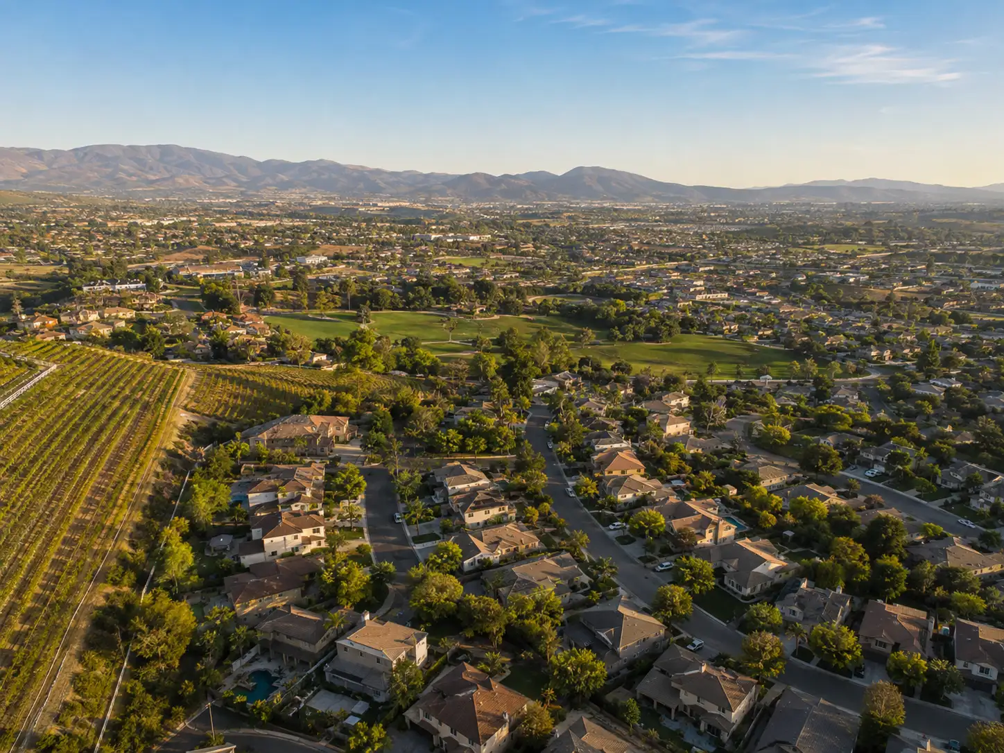
Around Napa
The neighbourhoods, the daily rhythm and the drive to everywhere else — the part of a home search a listing sheet never covers.
See homes near here →The desk is building a real map of Napa — outdoors, local flavor, the commute and daily errands — rather than printing a generic list.


Places from OpenStreetMap, November 3. © OpenStreetMap contributors. Distances are straight-line from the city centre, not drive times.
Where Napa actually breaks down, in the desk's own words.
Full neighbourhood file →East of the Napa River, with Coombsville Road and Third Street to the south and Clark and East Avenues to the north, as the city draws it.
On the west side, between the western city limit, First Street, Highway 29 and Old Sonoma Road.
Along Browns Valley Road, which the city says was among the first improved roads in western Napa, paid for in 1911 by the neighbors it served.
Ordinary life in Napa, the way it actually runs — not a highlight reel.
Coffee at Winston's Cafe and Bakery, then whatever the day actually needs.
An hour at Fuller Park, between the errands that never show up on a listing sheet.
Dinner at Compline, then a short drive back to whichever neighbourhood you call home.
Illustrative scenes, not photographs of the places named. Places from OpenStreetMap, © OpenStreetMap contributors, ODbL.
Real listings live in Napa right now — not a wish list.
All Napa listings →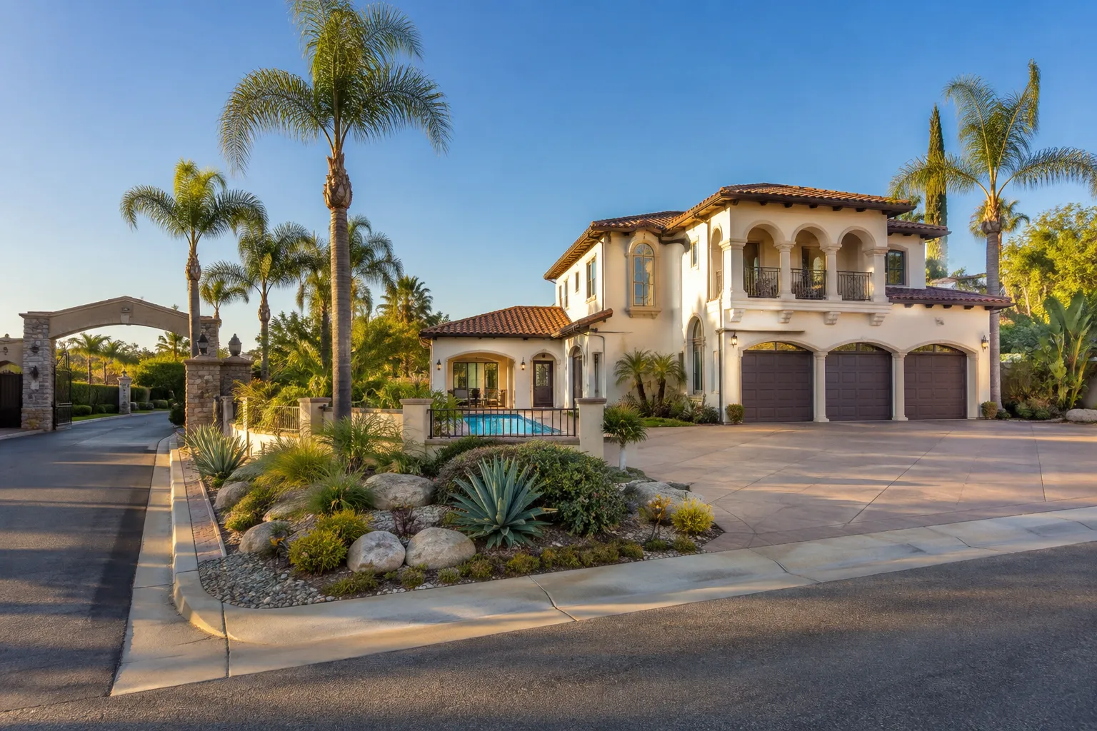
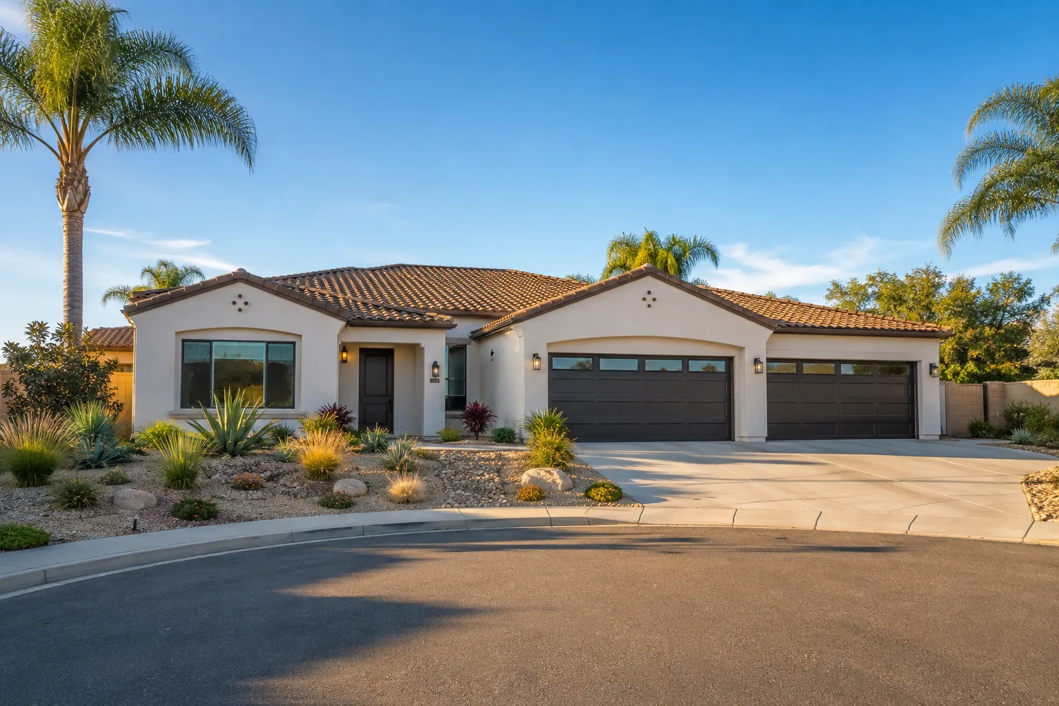
Active listings, as of November 8. Photos are illustrative — not photographs of the address on the card.
Ask the Insider desk what's new, what dropped, and what's worth a look near you.