

Skip to content
Insider Realty, powered by AXEN Realty
Talk to Zarko

Around Rancho Santa Margarita

Rancho Santa Margarita, beyond the house.

The neighbourhoods, the daily rhythm and the drive to everywhere else — the part of a home search a listing sheet never covers.

See homes near here

This guide covers

  • Melinda Heights
  • Robinson Ranch
  • Rancho Cielo
  • Trabuco Highlands

The desk's real neighbourhood file for Rancho Santa Margarita — not a citywide average.

What is actually here

The desk is building a real map of Rancho Santa Margarita — outdoors, local flavor, the commute and daily errands — rather than printing a generic list.

Outdoors

  • Rancho Santa Margarita City ParkPublic park, in town.
  • Monte VistaPublic park, in town.
  • Cielo Vista ParkPublic park, in town.
  • Vista Verde ParkPublic park, in town.
  • Estrella Vista ParkPublic park, about 1.6 km from the city centre, straight line.
  • Dove Canyon ParkPublic park, about 2.0 km from the city centre, straight line.

Wine & Local Flavor

  • Amazing GrapesWine shop, in town.
  • Frisby Cellars Tasting RoomWine shop, about 7.0 km from the city centre, straight line.
  • Bellante Family WineryWinery, about 8.5 km from the city centre, straight line.

Getting Around

  • I 5Freeway through the area — the San Diego Freeway.
  • Laguna Hills Transportation CenterBus station, about 11 km from the city centre, straight line.

  • I 5 TruckFreeway through the area.
  • CA 73 TollFreeway through the area — the San Joaquin Hills Transportation Corridor.
  • CA 73Freeway through the area — the San Joaquin Hills Transportation Corridor.
  • CA 241 TollFreeway through the area — the Foothill Transportation Corridor.

Food & Daily Life

  • The Pizza PressRestaurant, in town.
  • Hanna's Restaurant & BarRestaurant, in town.
  • Poke BowlzRestaurant, in town.
  • Wan-FuRestaurant, in town.
  • Round Table PizzaRestaurant, in town.
  • BJ'sRestaurant, in town.

Places from OpenStreetMap, September 10. © OpenStreetMap contributors. Distances are straight-line from the city centre, not drive times.

The neighbourhoods

Where Rancho Santa Margarita actually breaks down, in the desk's own words.

Full neighbourhood file →

Melinda Heights

One of RSM's original 1980s-90s SAMLARC villages near the town center and elementary schools.

Robinson Ranch

Hillside tract on RSM's northern edge with canyon-adjacent lots and city-edge open space.

Rancho Cielo

A guard-gated SAMLARC village close to the lake and central parks, mixing townhomes and detached homes.

Trabuco Highlands

The highest, farthest RSM village, trading walkability for hillside views at the city's edge.

A day around here

Ordinary life in Rancho Santa Margarita, the way it actually runs — not a highlight reel.

Morning

An early walk at Rancho Santa Margarita City Park, before the day starts properly.

Afternoon

An hour at Monte Vista, between the errands that never show up on a listing sheet.

Evening

Dinner at The Pizza Press, then a short drive back to whichever neighbourhood you call home.

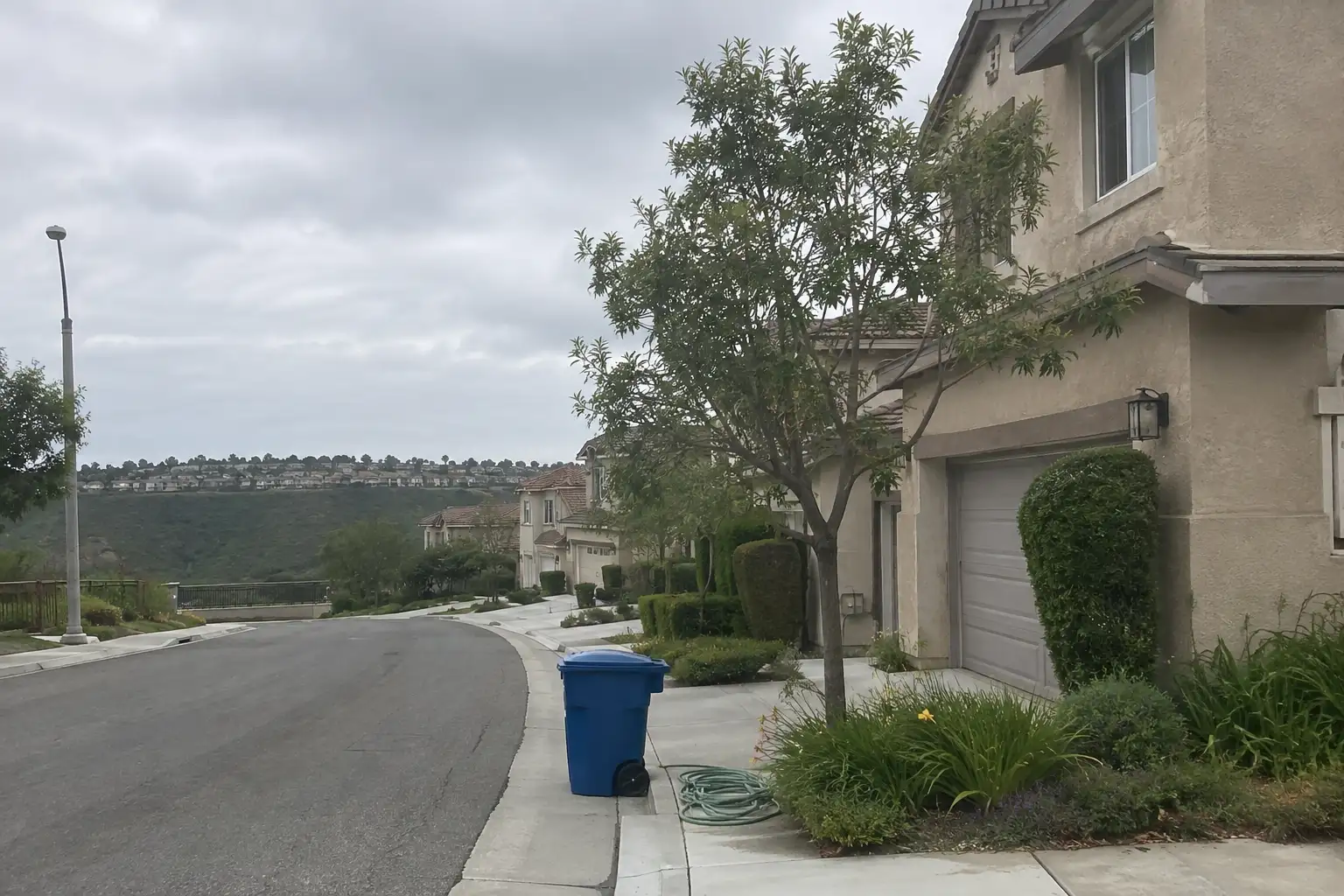
Illustrative scenes, not photographs of the places named. Places from OpenStreetMap, © OpenStreetMap contributors, ODbL.

Homes near here

Real listings live in Rancho Santa Margarita right now — not a wish list.

All Rancho Santa Margarita listings →

Active listings, as of September 22. Photos are illustrative — not photographs of the address on the card.

Ready to see Rancho Santa Margarita for yourself?

Ask the Insider desk what's new, what dropped, and what's worth a look near you.

Private request. No recurring email is sent automatically.




