

Skip to content
Insider Realty, powered by AXEN Realty
Talk to Zarko

Around Simi Valley

Simi Valley, beyond the house.

The neighbourhoods, the daily rhythm and the drive to everywhere else — the part of a home search a listing sheet never covers.

See homes near here

This guide covers

  • Wood Ranch
  • Big Sky
  • Bridle Path
  • Central Simi Valley
  • West Simi Valley

The desk's real neighbourhood file for Simi Valley — not a citywide average.

What is actually here

The desk is building a real map of Simi Valley — outdoors, local flavor, the commute and daily errands — rather than printing a generic list.

Outdoors

  • Rancho Tapo Community ParkPublic park, in town.
  • Houghton Schreiber ParkPublic park, in town.
  • Sequoia ParkPublic park, about 1.5 km from the city centre, straight line.
  • Simi Hills Neighborhood Park & Fishing PondPublic park, about 2.1 km from the city centre, straight line.
  • Darrah Volunteer ParkPublic park, about 2.4 km from the city centre, straight line.
  • Callahan FieldPublic park, about 2.7 km from the city centre, straight line.

Wine & Local Flavor

  • Nectar Of The Dogs WineWine shop, about 6.0 km from the city centre, straight line.

Getting Around

  • Simi ValleyRail station, about 3.0 km from the city centre, straight line.

  • CA 118Freeway through the area — the Ronald Reagan Freeway.
  • ChatsworthRail station, about 12 km from the city centre, straight line.

  • CA 23Freeway through the area — the Moorpark Freeway.

Food & Daily Life

  • Slice House By Tony GemignaniRestaurant, in town.
  • The Flying YolkRestaurant, in town.
  • O2 SushiRestaurant, in town.
  • VonsSupermarket, in town.
  • Ameci Pizza & PastaRestaurant, in town.
  • Luna llena RestaurantRestaurant, in town.

Places from OpenStreetMap, September 10. © OpenStreetMap contributors. Distances are straight-line from the city centre, not drive times.

The neighbourhoods

Where Simi Valley actually breaks down, in the desk's own words.

Full neighbourhood file →

Wood Ranch

An upscale master-planned community dating to 1986, roughly 4.5 miles southwest of downtown, built out through the 1980s and 1990s with larger lots, mature landscaping, and golf-course access.

Big Sky

A master-planned community in the hills above the 118 freeway that began development in the early 2000s and continues to grow, spanning multiple builders and dozens of sub-tract neighborhoods.

Bridle Path

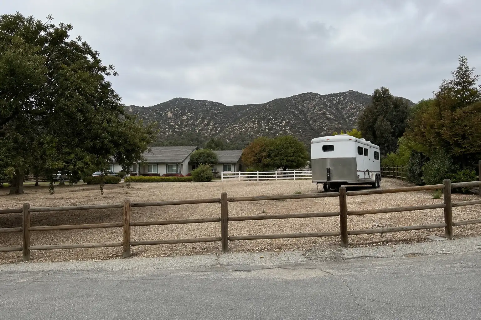
Developed in the mid-1970s in the north-central Simi Hills east of Wood Ranch, this equestrian community is one of the few areas in the city zoned for residents to keep horses on their property.

Central Simi Valley

The valley's oldest developed section, with rows of postwar ranch-style homes on compact lots dating largely to the 1960s and 1970s.

West Simi Valley

A residential area bordering Lincoln Park and the Santa Susana foothills, with equestrian properties and hiking trail access near the Ronald Reagan Presidential Library.

A day around here

Ordinary life in Simi Valley, the way it actually runs — not a highlight reel.

Morning

An early walk at Rancho Tapo Community Park, before the day starts properly.

Afternoon

An hour at Houghton Schreiber Park, between the errands that never show up on a listing sheet.

Evening

Dinner at Slice House By Tony Gemignani, then a short drive back to whichever neighbourhood you call home.

Illustrative scenes, not photographs of the places named. Places from OpenStreetMap, © OpenStreetMap contributors, ODbL.

Homes near here

Real listings live in Simi Valley right now — not a wish list.

All Simi Valley listings →

Active listings, as of September 22. Photos are illustrative — not photographs of the address on the card.

Ready to see Simi Valley for yourself?

Ask the Insider desk what's new, what dropped, and what's worth a look near you.

Private request. No recurring email is sent automatically.


